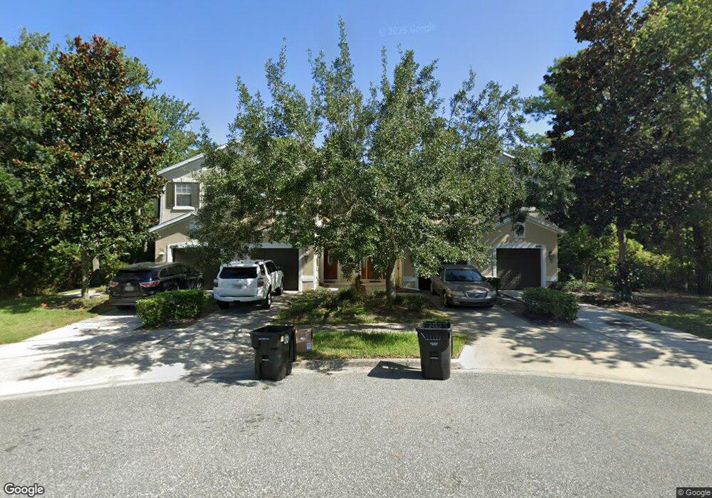
1956 Sunset Palm Dr Unit 110 Apopka, FL 32712
Estimated Value: $239,000 - $294,000
3
Beds
3
Baths
2,209
Sq Ft
$125/Sq Ft
Est. Value
About This Home
This home is located at 1956 Sunset Palm Dr Unit 110, Apopka, FL 32712 and is currently estimated at $276,686, approximately $125 per square foot. 1956 Sunset Palm Dr Unit 110 is a home located in Orange County with nearby schools including Rock Springs Elementary School, Apopka Middle School, and Apopka High School.
Ownership History
Date
Name
Owned For
Owner Type
Purchase Details
Closed on
Aug 27, 2009
Sold by
Gillis Brian
Bought by
Moody Estelle
Current Estimated Value
Purchase Details
Closed on
Aug 24, 2006
Sold by
Lennar Homes Inc
Bought by
Gillis Brian
Home Financials for this Owner
Home Financials are based on the most recent Mortgage that was taken out on this home.
Original Mortgage
$208,000
Interest Rate
7.82%
Mortgage Type
Purchase Money Mortgage
Create a Home Valuation Report for This Property
The Home Valuation Report is an in-depth analysis detailing your home's value as well as a comparison with similar homes in the area
Home Values in the Area
Average Home Value in this Area
Purchase History
| Date | Buyer | Sale Price | Title Company |
|---|---|---|---|
| Moody Estelle | $82,000 | Talon Title Services | |
| Gillis Brian | $239,000 | Multiple |
Source: Public Records
Mortgage History
| Date | Status | Borrower | Loan Amount |
|---|---|---|---|
| Previous Owner | Gillis Brian | $208,000 |
Source: Public Records
Tax History Compared to Growth
Tax History
| Year | Tax Paid | Tax Assessment Tax Assessment Total Assessment is a certain percentage of the fair market value that is determined by local assessors to be the total taxable value of land and additions on the property. | Land | Improvement |
|---|---|---|---|---|
| 2025 | $3,897 | $247,840 | -- | -- |
| 2024 | $3,484 | $247,840 | -- | -- |
| 2023 | $3,484 | $241,610 | $55,000 | $186,610 |
| 2022 | $3,095 | $211,725 | $55,000 | $156,725 |
| 2021 | $2,715 | $169,277 | $45,000 | $124,277 |
| 2020 | $2,411 | $154,251 | $40,000 | $114,251 |
| 2019 | $2,366 | $145,131 | $30,000 | $115,131 |
| 2018 | $2,328 | $142,089 | $30,000 | $112,089 |
| 2017 | $2,109 | $129,105 | $20,000 | $109,105 |
| 2016 | $1,948 | $115,789 | $10,000 | $105,789 |
| 2015 | $1,865 | $115,084 | $8,000 | $107,084 |
| 2014 | $1,800 | $113,457 | $12,000 | $101,457 |
Source: Public Records
Map
Nearby Homes
- 1949 Beacon Bay Ct
- 1926 Sunset Palm Dr
- 1967 Beacon Bay Ct
- 1925 Beacon Bay Ct
- 22 Virgil St Unit 28
- 13 Tahoe E Unit 83
- 7 Virgil St Unit 9
- 19 E Lester Rd
- 1 Virgil St Unit 10
- 1817 Alvis Ave Unit 203
- 107 Royal Crest Ct
- 28 W Virgil St Unit 40
- 12 Virgil St Unit 36
- 17 Tahoe St Unit 84
- 20 Virgil St Unit 38
- 21 Dottie St Unit 213
- 20 Tahoe St Unit 101
- 34 W Seaflower St Unit 169
- 129 W Tahoe St
- 32 Dottie St Unit 253
- 1956 Sunset Palm Dr
- 1954 Sunset Palm Dr Unit 111
- 1954 Sunset Palm Dr
- 1952 Sunset Palm Dr
- 1951 Sunset Palm Dr
- 1948 Sunset Palm Dr
- 1946 Sunset Palm Dr Unit 114
- 1946 Sunset Palm Dr
- 1947 Sunset Palm Dr
- 1944 Sunset Palm Dr
- 1944 Drive
- 1945 Sunset Palm Dr
- 1945 Sunset Palm Dr Unit 1945
- 1943 Sunset Palm Dr
- 1936 Sunset Palm Dr
- 1947 Beacon Bay Ct
- 1947 Beacon Bay Ct Unit 1947
- 1951 Beacon Bay Ct