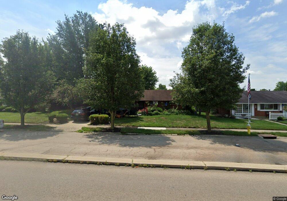
1956 W Stroop Rd Dayton, OH 45439
Woodbourne-Hyde Park NeighborhoodEstimated Value: $173,356 - $185,000
3
Beds
1
Bath
1,080
Sq Ft
$166/Sq Ft
Est. Value
About This Home
This home is located at 1956 W Stroop Rd, Dayton, OH 45439 and is currently estimated at $179,339, approximately $166 per square foot. 1956 W Stroop Rd is a home located in Montgomery County with nearby schools including West Carrollton High School, Miami Valley Academies, and St. Albert the Great School.
Ownership History
Date
Name
Owned For
Owner Type
Purchase Details
Closed on
Jul 31, 2006
Sold by
Schwarzman Diane M
Bought by
King Joshua M
Current Estimated Value
Home Financials for this Owner
Home Financials are based on the most recent Mortgage that was taken out on this home.
Original Mortgage
$87,000
Outstanding Balance
$51,397
Interest Rate
6.85%
Mortgage Type
Purchase Money Mortgage
Estimated Equity
$127,942
Create a Home Valuation Report for This Property
The Home Valuation Report is an in-depth analysis detailing your home's value as well as a comparison with similar homes in the area
Home Values in the Area
Average Home Value in this Area
Purchase History
| Date | Buyer | Sale Price | Title Company |
|---|---|---|---|
| King Joshua M | $87,000 | None Available |
Source: Public Records
Mortgage History
| Date | Status | Borrower | Loan Amount |
|---|---|---|---|
| Open | King Joshua M | $87,000 |
Source: Public Records
Tax History
| Year | Tax Paid | Tax Assessment Tax Assessment Total Assessment is a certain percentage of the fair market value that is determined by local assessors to be the total taxable value of land and additions on the property. | Land | Improvement |
|---|---|---|---|---|
| 2025 | $3,102 | $42,860 | $7,820 | $35,040 |
| 2024 | $3,016 | $42,860 | $7,820 | $35,040 |
| 2023 | $3,016 | $42,860 | $7,820 | $35,040 |
| 2022 | $2,630 | $28,760 | $5,250 | $23,510 |
| 2021 | $2,425 | $28,760 | $5,250 | $23,510 |
| 2020 | $2,427 | $28,760 | $5,250 | $23,510 |
| 2019 | $2,542 | $26,390 | $5,250 | $21,140 |
| 2018 | $2,371 | $26,310 | $5,250 | $21,060 |
| 2017 | $2,357 | $26,310 | $5,250 | $21,060 |
| 2016 | $2,384 | $25,750 | $5,250 | $20,500 |
| 2015 | $2,218 | $25,750 | $5,250 | $20,500 |
| 2014 | $2,218 | $25,750 | $5,250 | $20,500 |
| 2012 | -- | $26,410 | $7,000 | $19,410 |
Source: Public Records
Map
Nearby Homes
- 2090 Mattis Dr
- 4301 Tait Rd
- 2218 Finland Dr
- 4304 Harbison St
- 2183 Los Arrow Dr
- 3596 Tait Rd
- 4476 Hannaford St
- 4518 Harbison St
- 4515 Harbison St
- 3497 Tall Timber Trail
- 2337 Ned Dr
- 4528 Southern Dr
- 5100 Oak Ave
- 3285 Southdale Dr Unit 4
- 2087 Lehigh Place
- 4524 Royal Ridge Way
- 4792 Loxley Dr
- 3225 Southdale Dr Unit 1
- 1237 Laurelwood Rd
- 1212 Laurelwood Rd
- 1968 W Stroop Rd
- 1942 W Stroop Rd
- 1961 Mattis Dr
- 1973 Mattis Dr
- 1945 Mattis Dr
- 1980 W Stroop Rd
- 1926 W Stroop Rd
- 1987 Mattis Dr
- 1935 Mattis Dr
- 1994 W Stroop Rd
- 1649 W Stroop Rd
- 1916 W Stroop Rd
- 1661 W Stroop Rd
- 1637 W Stroop Rd
- 2001 Mattis Dr
- 1923 Mattis Dr
- 1966 Mattis Dr
- 4040 Cordell Dr
- 1946 Mattis Dr
- 1625 W Stroop Rd
Your Personal Tour Guide
Ask me questions while you tour the home.