1956 Waldron Place Point Roberts, WA 98281
Estimated Value: $565,242 - $687,000
3
Beds
3
Baths
1,596
Sq Ft
$398/Sq Ft
Est. Value
About This Home
This home is located at 1956 Waldron Place, Point Roberts, WA 98281 and is currently estimated at $635,311, approximately $398 per square foot. 1956 Waldron Place is a home located in Whatcom County with nearby schools including Point Roberts Primary School, Blaine Middle School, and Blaine High School.
Ownership History
Date
Name
Owned For
Owner Type
Purchase Details
Closed on
Jun 10, 2019
Sold by
Rosengarten Mark and Rosengarten Natalie
Bought by
Mickelson Howard A and Corrigan Anne Marie
Current Estimated Value
Purchase Details
Closed on
Oct 12, 2007
Sold by
Smith Alexander and Smith Ruth Anne
Bought by
Mickelson Howard A and Corrigan Anne Marie
Purchase Details
Closed on
Mar 17, 2000
Sold by
Defazio Nazareno Ray and Defazio Elena
Bought by
Smith Alexander and Smith Ruth Anne
Create a Home Valuation Report for This Property
The Home Valuation Report is an in-depth analysis detailing your home's value as well as a comparison with similar homes in the area
Home Values in the Area
Average Home Value in this Area
Purchase History
| Date | Buyer | Sale Price | Title Company |
|---|---|---|---|
| Mickelson Howard A | $180,350 | None Available | |
| Mickelson Howard A | $355,280 | First American Title Insuran | |
| Smith Alexander | -- | Chicago Title Insurance |
Source: Public Records
Tax History Compared to Growth
Tax History
| Year | Tax Paid | Tax Assessment Tax Assessment Total Assessment is a certain percentage of the fair market value that is determined by local assessors to be the total taxable value of land and additions on the property. | Land | Improvement |
|---|---|---|---|---|
| 2024 | $4,398 | $567,003 | $211,992 | $355,011 |
| 2023 | $4,398 | $547,731 | $192,720 | $355,011 |
| 2022 | $4,075 | $500,211 | $176,000 | $324,211 |
| 2021 | $4,058 | $420,421 | $120,384 | $300,037 |
| 2020 | $4,035 | $389,273 | $111,465 | $277,808 |
| 2019 | $3,732 | $373,400 | $106,920 | $266,480 |
| 2018 | $3,682 | $335,683 | $96,120 | $239,563 |
| 2017 | $3,191 | $320,596 | $91,800 | $228,796 |
| 2016 | $3,210 | $314,310 | $90,000 | $224,310 |
| 2015 | $3,415 | $307,403 | $86,949 | $220,454 |
| 2014 | -- | $321,366 | $90,900 | $230,466 |
| 2013 | -- | $307,227 | $87,300 | $219,927 |
Source: Public Records
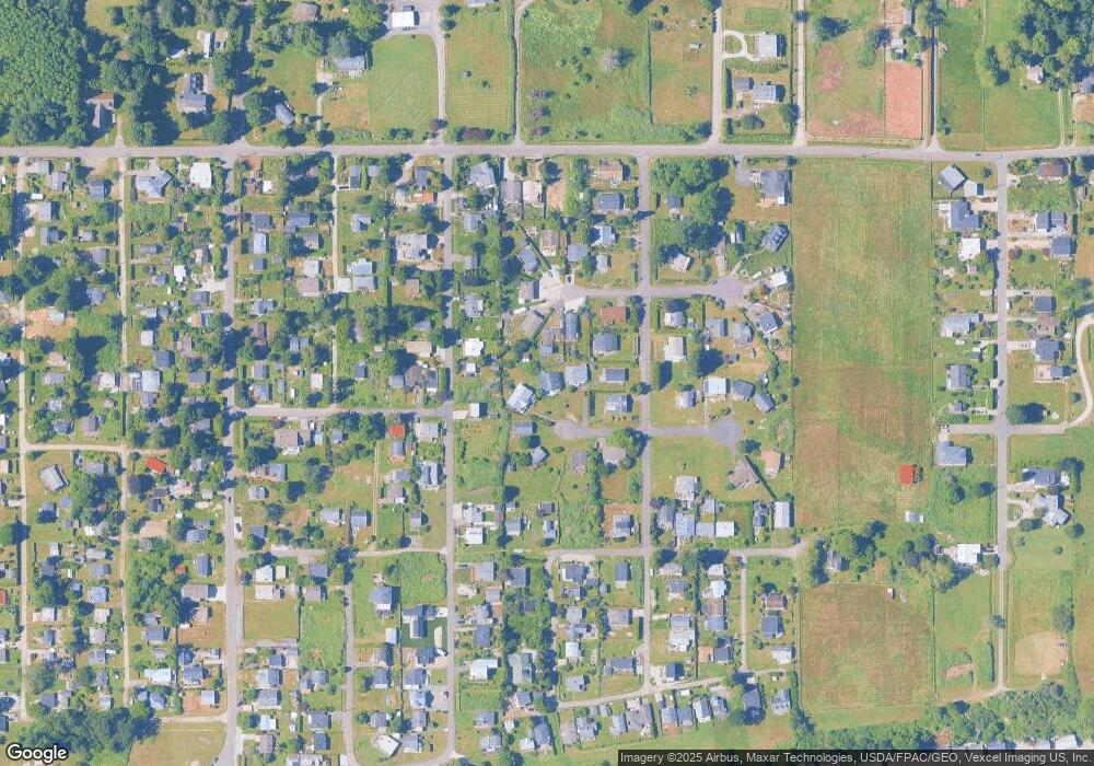
Map
Nearby Homes
- 1934 Waters Rd
- 661 Driftwood Ln
- 675 Sylvia Dr
- 634 S Beach Rd
- 1911 Apa Rd
- 698 Kendor Dr
- 1940 Apa Rd
- 2045 Apa Rd
- 1881 Edwards Dr
- 1927 Orcas View Way
- 1976 Cedar Park Dr
- 1920 Patos Way
- lot 14 Cedar Park Dr Unit 14
- 2149 Seabright Loop
- 2250 Seabright Loop
- 0 6 39 Acres South Beach Rd
- Lot 2 Greenwood Dr
- 2246 Seabright Loop
- 2242 Seabright Loop
- 2128 Seabright Loop
- 1960 Waldron Place
- 1957 Saturna Place
- 1961 Saturna Place
- 1950 Waldron Place
- 637 Crystal Beach Rd
- 645 Crystal Beach Rd
- 638 Maple Ave
- 633 Crystal Beach Rd
- 634 Maple Ave
- 1961 Waldron Place
- 1955 Waldron Place
- 1994 Waldron Place
- 1993 Waldron Place
- 1986 Waldron Place
- 1982 Waldron Place
- 650 Maple Ave
- 627 Crystal Beach Rd
- 646 Maple Ave
- 1952 Saturna Place
- 647 Crystal Beach Rd