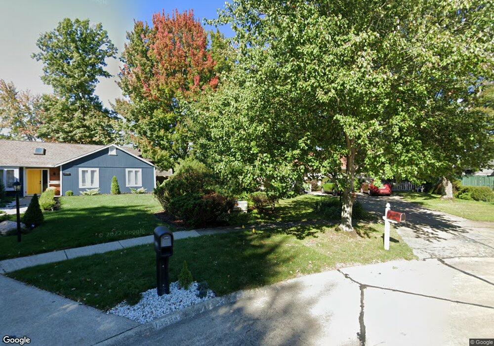
19562 Cross Trail N Strongsville, OH 44136
Estimated Value: $315,403 - $335,000
3
Beds
2
Baths
1,686
Sq Ft
$192/Sq Ft
Est. Value
About This Home
This home is located at 19562 Cross Trail N, Strongsville, OH 44136 and is currently estimated at $323,101, approximately $191 per square foot. 19562 Cross Trail N is a home located in Cuyahoga County with nearby schools including Strongsville High School, Saint Ambrose Catholic School, and Royal Redeemer Lutheran School.
Ownership History
Date
Name
Owned For
Owner Type
Purchase Details
Closed on
Jun 21, 1999
Sold by
Wimmer Dale V
Bought by
Westbrook Robert W
Current Estimated Value
Purchase Details
Closed on
Jun 20, 1991
Sold by
Rieg William E
Bought by
Wimmer Dale
Purchase Details
Closed on
Jan 3, 1984
Sold by
Masuga Daniel L
Bought by
Rieg William E
Purchase Details
Closed on
Dec 18, 1980
Bought by
Masuga Daniel L
Purchase Details
Closed on
Jun 13, 1978
Bought by
Masuga Daniel Lee
Purchase Details
Closed on
Jan 1, 1978
Bought by
Terra Corp
Create a Home Valuation Report for This Property
The Home Valuation Report is an in-depth analysis detailing your home's value as well as a comparison with similar homes in the area
Home Values in the Area
Average Home Value in this Area
Purchase History
| Date | Buyer | Sale Price | Title Company |
|---|---|---|---|
| Westbrook Robert W | $142,000 | Transcounty Title Agency Inc | |
| Wimmer Dale | $120,000 | -- | |
| Rieg William E | $86,000 | -- | |
| Masuga Daniel L | -- | -- | |
| Kemock Nicols M Trs | -- | -- | |
| Masuga Daniel Lee | $20,000 | -- | |
| Terra Corp | -- | -- |
Source: Public Records
Tax History Compared to Growth
Tax History
| Year | Tax Paid | Tax Assessment Tax Assessment Total Assessment is a certain percentage of the fair market value that is determined by local assessors to be the total taxable value of land and additions on the property. | Land | Improvement |
|---|---|---|---|---|
| 2024 | $4,286 | $91,280 | $19,145 | $72,135 |
| 2023 | $4,712 | $75,250 | $14,770 | $60,480 |
| 2022 | $4,678 | $75,250 | $14,770 | $60,480 |
| 2021 | $4,641 | $75,250 | $14,770 | $60,480 |
| 2020 | $4,299 | $61,670 | $12,110 | $49,560 |
| 2019 | $4,173 | $176,200 | $34,600 | $141,600 |
| 2018 | $3,531 | $61,670 | $12,110 | $49,560 |
| 2017 | $3,335 | $50,270 | $9,420 | $40,850 |
| 2016 | $3,308 | $50,270 | $9,420 | $40,850 |
| 2015 | $4,042 | $50,270 | $9,420 | $40,850 |
| 2014 | $4,042 | $50,270 | $9,420 | $40,850 |
Source: Public Records
Map
Nearby Homes
- 14985 Camden Cir
- 15188 Trails Landing
- 19813 Cross Trail S
- 18987 Laurell Cir
- 19694 Benbow Rd
- 19740 Benbow Rd
- 3137 Blackburn Ln
- 15604-REAR Boston Rd
- 15772 Boston Rd
- 106 Briarleigh Dr
- 19252 Hidden Woods Ln
- 19297 Hunt Rd
- 18229 Howe Rd
- 97 Weathervane Ln
- 3003 Alda Pkwy
- 14132 Walking Stick Way
- 13448 Compass Point Dr
- 266 Bettie Ln
- 13335 Tradewinds Dr
- 16711 Beech Cir
- 19567 Cross Trail N
- 19584 Cross Trail N
- 19423 Stony Point Dr
- 19595 Cross Trail N
- 14827 Trenton Ave
- 14795 Trenton Ave
- 14869 Trenton Ave
- 19457 Stony Point Dr
- 19617 Cross Trail N
- 14911 Trenton Ave
- 19630 Cross Trail N
- 14731 Trenton Ave
- 19639 Cross Trail N
- 19440 Stony Point Dr
- 14699 Trenton Ave
- 19654 Cross Trail N
- 14728 Hartford Trail
- 19348 Julie Cir
- 19661 Cross Trail N
- 14760 Hartford Trail