19563 Meadowbrook Dr Bend, OR 97702
Century West NeighborhoodEstimated Value: $757,210 - $857,000
3
Beds
2
Baths
1,881
Sq Ft
$439/Sq Ft
Est. Value
About This Home
This home is located at 19563 Meadowbrook Dr, Bend, OR 97702 and is currently estimated at $826,303, approximately $439 per square foot. 19563 Meadowbrook Dr is a home located in Deschutes County with nearby schools including William E. Miller Elementary School, Cascade Middle School, and Summit High School.
Ownership History
Date
Name
Owned For
Owner Type
Purchase Details
Closed on
Jul 12, 2023
Sold by
Hebert Ben
Bought by
Benjamin Hebert Living Trust and Hebert
Current Estimated Value
Purchase Details
Closed on
Apr 1, 2005
Sold by
Macritchie Sheree
Bought by
Unger Bruce W and Unger Susan K
Home Financials for this Owner
Home Financials are based on the most recent Mortgage that was taken out on this home.
Original Mortgage
$205,000
Interest Rate
5.37%
Mortgage Type
Unknown
Purchase Details
Closed on
Dec 3, 2004
Sold by
Adame James H and Adame Mary Anne
Bought by
Macritchie Sheree
Home Financials for this Owner
Home Financials are based on the most recent Mortgage that was taken out on this home.
Original Mortgage
$206,400
Interest Rate
5.65%
Mortgage Type
Balloon
Create a Home Valuation Report for This Property
The Home Valuation Report is an in-depth analysis detailing your home's value as well as a comparison with similar homes in the area
Home Values in the Area
Average Home Value in this Area
Purchase History
| Date | Buyer | Sale Price | Title Company |
|---|---|---|---|
| Benjamin Hebert Living Trust | -- | None Listed On Document | |
| Unger Bruce W | $305,500 | Amerititle | |
| Macritchie Sheree | $258,000 | Amerititle |
Source: Public Records
Mortgage History
| Date | Status | Borrower | Loan Amount |
|---|---|---|---|
| Previous Owner | Unger Bruce W | $205,000 | |
| Previous Owner | Macritchie Sheree | $206,400 |
Source: Public Records
Tax History Compared to Growth
Tax History
| Year | Tax Paid | Tax Assessment Tax Assessment Total Assessment is a certain percentage of the fair market value that is determined by local assessors to be the total taxable value of land and additions on the property. | Land | Improvement |
|---|---|---|---|---|
| 2025 | $4,806 | $284,450 | -- | -- |
| 2024 | $4,624 | $276,170 | -- | -- |
| 2023 | $4,287 | $268,130 | $0 | $0 |
| 2022 | $4,123 | $252,750 | $0 | $0 |
| 2021 | $4,005 | $245,390 | $0 | $0 |
| 2020 | $3,800 | $245,390 | $0 | $0 |
| 2019 | $3,694 | $238,250 | $0 | $0 |
| 2018 | $3,590 | $231,320 | $0 | $0 |
| 2017 | $3,551 | $224,590 | $0 | $0 |
| 2016 | $3,390 | $218,050 | $0 | $0 |
| 2015 | $3,297 | $211,700 | $0 | $0 |
| 2014 | $3,202 | $205,540 | $0 | $0 |
Source: Public Records
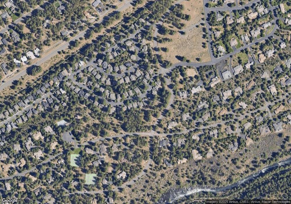
Map
Nearby Homes
- 19530 Sunshine Way
- 19520 SW Century Dr
- 61389 Campbell Ct
- 19580 SW Century Dr
- 19476 SW Century Dr Unit 1 & 2
- 19476 SW Century Dr
- 19452 Brookside Way
- 19601 Hollygrape St
- 61176 Foxglove Loop
- 19694 Harvard Place
- 61417 Cultus Lake Ct
- 61062 Snowbrush Dr
- 61279 Gorge View St
- 61464 Meeks Trail
- 61482 Meeks Trail
- 61318 Tetherow Vista Dr
- 61354 Lost Hollow Loop
- 61015 River Bluff Trail
- 61102 Aspen Rim Ln
- 19779 Hollygrape St
- 19559 Meadowbrook Dr
- 19567 Meadowbrook Dr
- 19555 Meadowbrook Dr
- 19571 Meadowbrook Dr
- 19562 Meadowbrook Dr
- 19570 Meadowbrook Dr
- 19551 Meadowbrook Dr
- 19575 Meadowbrook Dr
- 19574 Meadowbrook Dr
- 19550 Meadowbrook Dr
- 19547 Meadowbrook Dr
- 19579 Meadowbrook Dr
- 19579 SW Meadowbrook
- 19578 Meadowbrook Dr
- 19546 SW Meadowbrook Dr
- 19546 Meadowbrook Dr
- 19543 Meadowbrook Dr
- 61286 SW Brookside Loop
- 61290 SW Brookside Loop
- 19582 SW Meadowbrook Dr