19563 Simpson Ave Bend, OR 97702
Century West NeighborhoodEstimated Value: $800,000 - $888,000
3
Beds
4
Baths
2,163
Sq Ft
$389/Sq Ft
Est. Value
About This Home
This home is located at 19563 Simpson Ave, Bend, OR 97702 and is currently estimated at $840,691, approximately $388 per square foot. 19563 Simpson Ave is a home located in Deschutes County with nearby schools including William E. Miller Elementary School, Cascade Middle School, and Summit High School.
Ownership History
Date
Name
Owned For
Owner Type
Purchase Details
Closed on
Aug 11, 2022
Sold by
Paterson D L
Bought by
David L Paterson Revocable Trust
Current Estimated Value
Purchase Details
Closed on
Jun 19, 2006
Sold by
Markunas Joseph
Bought by
Paterson D L
Purchase Details
Closed on
May 12, 2004
Sold by
Crosswhite Tom
Bought by
Markunas Joseph
Home Financials for this Owner
Home Financials are based on the most recent Mortgage that was taken out on this home.
Original Mortgage
$352,800
Interest Rate
5.5%
Mortgage Type
Unknown
Create a Home Valuation Report for This Property
The Home Valuation Report is an in-depth analysis detailing your home's value as well as a comparison with similar homes in the area
Home Values in the Area
Average Home Value in this Area
Purchase History
| Date | Buyer | Sale Price | Title Company |
|---|---|---|---|
| David L Paterson Revocable Trust | -- | None Listed On Document | |
| Paterson D L | $680,000 | Amerititle | |
| Markunas Joseph | $441,000 | Amerititle |
Source: Public Records
Mortgage History
| Date | Status | Borrower | Loan Amount |
|---|---|---|---|
| Previous Owner | Markunas Joseph | $352,800 |
Source: Public Records
Tax History
| Year | Tax Paid | Tax Assessment Tax Assessment Total Assessment is a certain percentage of the fair market value that is determined by local assessors to be the total taxable value of land and additions on the property. | Land | Improvement |
|---|---|---|---|---|
| 2025 | $9,054 | $535,840 | -- | -- |
| 2024 | $8,711 | $520,240 | -- | -- |
| 2023 | $8,075 | $505,090 | $0 | $0 |
| 2022 | $7,534 | $476,100 | $0 | $0 |
| 2021 | $7,545 | $462,240 | $0 | $0 |
| 2020 | $7,158 | $462,240 | $0 | $0 |
| 2019 | $6,959 | $448,780 | $0 | $0 |
| 2018 | $6,762 | $435,710 | $0 | $0 |
| 2017 | $6,630 | $423,020 | $0 | $0 |
| 2016 | $6,326 | $410,700 | $0 | $0 |
| 2015 | $6,152 | $398,740 | $0 | $0 |
| 2014 | $5,810 | $387,130 | $0 | $0 |
Source: Public Records
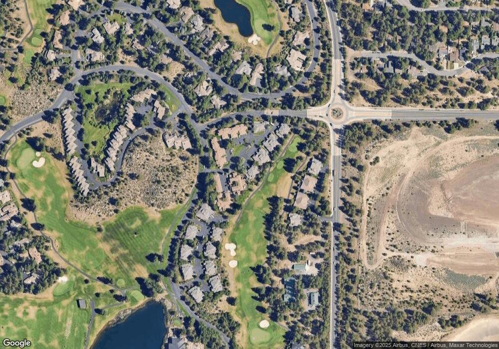
Map
Nearby Homes
- 19571 SW Simpson Ave
- 19490 Green Lakes Loop
- 1817 SW Knoll Ave
- 61719 Bridge Creek Loop
- 61783 Metolius Dr
- 113 NW Outlook Vista Dr
- 1829 SW Turnberry Place
- 61644 Tam McArthur Loop
- 19442 Chip Shot Ln
- 61734 Tam McArthur Loop
- 61709 Tam McArthur Loop
- 19374 Rim Lake Ct
- 61712 Broken Top Dr
- 19558 Fairway Ridge Ln
- 62029 Fall Creek Loop
- 61469 Tam McArthur Loop
- 61913 Hosmer Lake Dr
- 512 NW Flagline Dr
- 505 NW Flagline Dr
- 61612 Hosmer Lake Dr
- 19563 SW Simpson Ave Unit 9
- 19563 SW Simpson Ave
- 19565 SW Simpson Ave
- 19565 Simpson Ave
- 19571 SW Simpson Ave Unit 7
- 19571 Simpson Ave
- 19573 SW Simpson Ave
- 19573 Simpson Ave
- 0 Broken Top Dr Unit 33063
- 0 Broken Top Dr Unit 2615202
- 0 Broken Top Dr Unit 9807086
- 0 Broken Top Dr Unit 9807085
- 0 Broken Top Dr Unit 9901303
- 0 Broken Top Dr Unit 9805127
- 0 Broken Top Dr Unit 9805124
- 0 Broken Top Dr Unit 9805123
- 0 Broken Top Dr Unit 2008687
- 0 Broken Top Dr Unit 2707372
- 0 Broken Top Dr Unit 9805126
- 19579 Simpson Ave
Your Personal Tour Guide
Ask me questions while you tour the home.