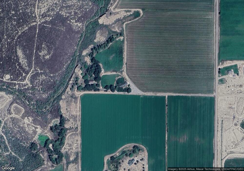
1957 10 Rd MacK, CO 81525
Mack NeighborhoodEstimated Value: $717,000 - $1,223,849
4
Beds
3
Baths
4,100
Sq Ft
$233/Sq Ft
Est. Value
About This Home
This home is located at 1957 10 Rd, MacK, CO 81525 and is currently estimated at $955,283, approximately $232 per square foot. 1957 10 Rd is a home located in Mesa County with nearby schools including Loma Elementary School, Fruita Middle School, and Fruita 8/9 School.
Ownership History
Date
Name
Owned For
Owner Type
Purchase Details
Closed on
Apr 25, 2006
Sold by
Wallace Denise R
Bought by
Wallace Ronald G
Current Estimated Value
Home Financials for this Owner
Home Financials are based on the most recent Mortgage that was taken out on this home.
Original Mortgage
$250,000
Interest Rate
6.32%
Mortgage Type
New Conventional
Purchase Details
Closed on
Apr 14, 2006
Sold by
Wallace Ronald G
Bought by
Wallace Ronald G and Wallace Denise R
Home Financials for this Owner
Home Financials are based on the most recent Mortgage that was taken out on this home.
Original Mortgage
$250,000
Interest Rate
6.32%
Mortgage Type
New Conventional
Create a Home Valuation Report for This Property
The Home Valuation Report is an in-depth analysis detailing your home's value as well as a comparison with similar homes in the area
Home Values in the Area
Average Home Value in this Area
Purchase History
| Date | Buyer | Sale Price | Title Company |
|---|---|---|---|
| Wallace Ronald G | -- | Security Title | |
| Wallace Ronald G | -- | Security Title |
Source: Public Records
Mortgage History
| Date | Status | Borrower | Loan Amount |
|---|---|---|---|
| Closed | Wallace Ronald G | $250,000 |
Source: Public Records
Tax History Compared to Growth
Tax History
| Year | Tax Paid | Tax Assessment Tax Assessment Total Assessment is a certain percentage of the fair market value that is determined by local assessors to be the total taxable value of land and additions on the property. | Land | Improvement |
|---|---|---|---|---|
| 2024 | $3,138 | $52,740 | $16,830 | $35,910 |
| 2023 | $3,138 | $52,740 | $16,830 | $35,910 |
| 2022 | $3,858 | $62,830 | $13,210 | $49,620 |
| 2021 | $3,938 | $65,590 | $14,510 | $51,080 |
| 2020 | $3,954 | $60,130 | $11,620 | $48,510 |
| 2019 | $3,536 | $57,000 | $11,620 | $45,380 |
| 2018 | $4,054 | $59,400 | $15,180 | $44,220 |
| 2017 | $3,868 | $59,400 | $15,180 | $44,220 |
| 2016 | $2,832 | $49,370 | $12,320 | $37,050 |
| 2015 | $2,878 | $49,370 | $12,320 | $37,050 |
| 2014 | $2,541 | $43,890 | $8,860 | $35,030 |
Source: Public Records
Map
Nearby Homes