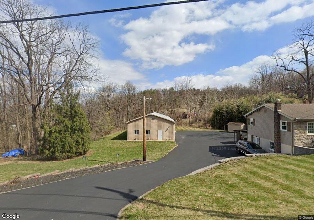
1957 Cedar Top Rd Reading, PA 19607
Pennwyn NeighborhoodEstimated Value: $295,000 - $442,000
3
Beds
1
Bath
1,120
Sq Ft
$315/Sq Ft
Est. Value
About This Home
This home is located at 1957 Cedar Top Rd, Reading, PA 19607 and is currently estimated at $352,623, approximately $314 per square foot. 1957 Cedar Top Rd is a home located in Berks County with nearby schools including Cumru Elementary School, Governor Mifflin Intermediate School, and Governor Mifflin Middle School.
Ownership History
Date
Name
Owned For
Owner Type
Purchase Details
Closed on
Sep 7, 2018
Sold by
Isett Leslie E and Isett Kathleen
Bought by
Kroniger Steven L
Current Estimated Value
Home Financials for this Owner
Home Financials are based on the most recent Mortgage that was taken out on this home.
Original Mortgage
$80,000
Outstanding Balance
$27,872
Interest Rate
4.5%
Mortgage Type
New Conventional
Estimated Equity
$324,751
Purchase Details
Closed on
Apr 26, 2013
Sold by
Isett Leslie E
Bought by
Isett Leslie E and Isett Kathleen
Home Financials for this Owner
Home Financials are based on the most recent Mortgage that was taken out on this home.
Original Mortgage
$217,068
Interest Rate
3.57%
Mortgage Type
VA
Purchase Details
Closed on
Nov 10, 1998
Bought by
Isett Leslie E
Create a Home Valuation Report for This Property
The Home Valuation Report is an in-depth analysis detailing your home's value as well as a comparison with similar homes in the area
Home Values in the Area
Average Home Value in this Area
Purchase History
| Date | Buyer | Sale Price | Title Company |
|---|---|---|---|
| Kroniger Steven L | $250,000 | None Available | |
| Isett Leslie E | -- | None Available | |
| Isett Leslie E | -- | -- |
Source: Public Records
Mortgage History
| Date | Status | Borrower | Loan Amount |
|---|---|---|---|
| Open | Kroniger Steven L | $80,000 | |
| Previous Owner | Isett Leslie E | $217,068 |
Source: Public Records
Tax History
| Year | Tax Paid | Tax Assessment Tax Assessment Total Assessment is a certain percentage of the fair market value that is determined by local assessors to be the total taxable value of land and additions on the property. | Land | Improvement |
|---|---|---|---|---|
| 2025 | $2,368 | $132,700 | $60,000 | $72,700 |
| 2024 | $6,106 | $132,700 | $60,000 | $72,700 |
| 2023 | $5,935 | $132,700 | $60,000 | $72,700 |
| 2022 | $5,786 | $132,700 | $60,000 | $72,700 |
| 2021 | $5,671 | $132,700 | $60,000 | $72,700 |
| 2020 | $5,671 | $132,700 | $60,000 | $72,700 |
| 2019 | $5,602 | $132,700 | $60,000 | $72,700 |
| 2018 | $5,501 | $132,700 | $60,000 | $72,700 |
| 2017 | $5,395 | $132,700 | $60,000 | $72,700 |
| 2016 | $1,914 | $132,700 | $60,000 | $72,700 |
| 2015 | $1,914 | $132,700 | $60,000 | $72,700 |
| 2014 | $1,914 | $132,700 | $60,000 | $72,700 |
Source: Public Records
Map
Nearby Homes
- 153 E Wyomissing Ave
- 148 Main St
- 26 E Mohn St
- 17 E Summit St
- 508 S Sterley St
- 40 W Wyomissing Ave
- 42 Chestnut St
- 78 Chestnut St
- 267 New Castle Dr
- 106 Pear St
- 613 Leininger Ave
- 135 Chestnut St
- 1 Overview Ct
- 512 Mifflin Blvd
- 31 S Sterley St Unit 401
- 200 W Lancaster Ave
- 7 Buck Run
- 902 Bedford Ave
- 9 Katie Ln
- 28 Charlemont Ct
- 1983 Cedar Top Rd
- 1962 Cedar Top Rd
- 1956 Cedar Top Rd
- 1974 Cedar Top Rd
- 1964 Cedar Top Rd
- 1958 Cedar Top Rd
- 1994 Cedar Top Rd
- 1917 Cedar Top Rd
- 1913 Cedar Top Rd
- 1991 Cedar Top Rd
- 1982 Cedar Top Rd
- 2004 Cedar Top Rd
- 1926 Cedar Top Rd
- 419 Calyn Dr
- 423 Calyn Dr
- 417 Calyn Dr
- 427 Calyn Dr
- 415 Calyn Dr
- 431 Calyn Dr
- 433 Calyn Dr
Your Personal Tour Guide
Ask me questions while you tour the home.