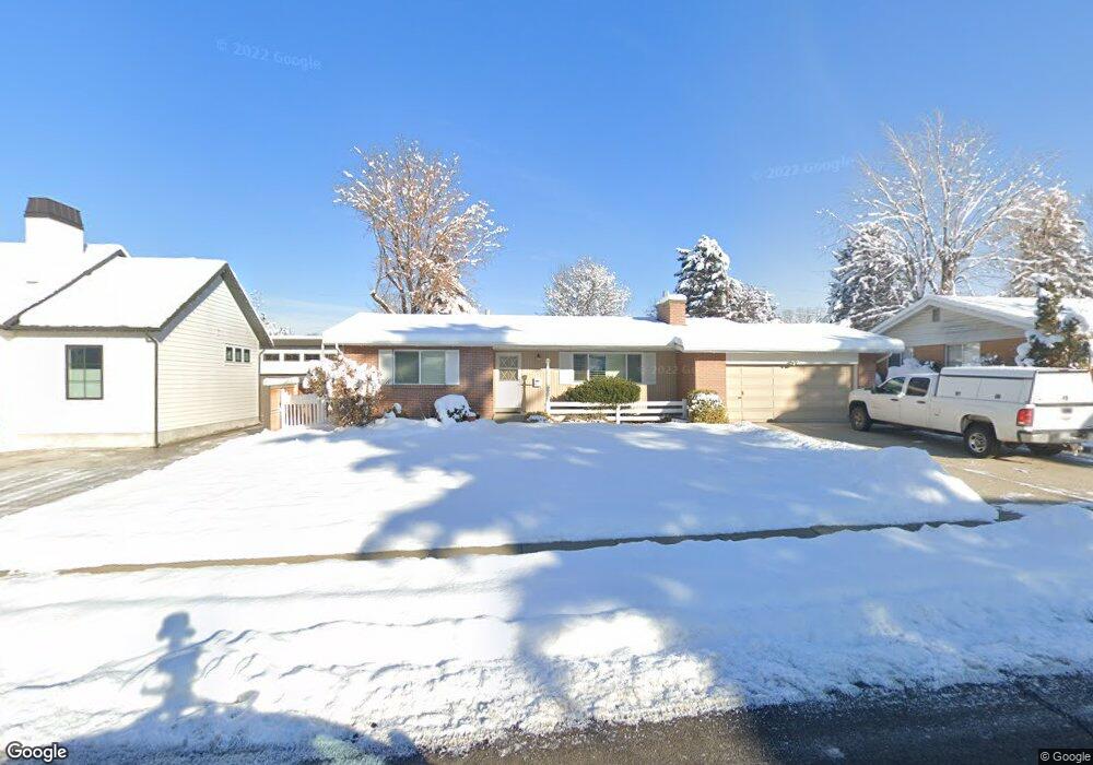
1957 E 4675 S Salt Lake City, UT 84117
Estimated Value: $775,000 - $828,000
5
Beds
3
Baths
1,500
Sq Ft
$540/Sq Ft
Est. Value
About This Home
This home is located at 1957 E 4675 S, Salt Lake City, UT 84117 and is currently estimated at $810,386, approximately $540 per square foot. 1957 E 4675 S is a home located in Salt Lake County with nearby schools including Howard R Driggs School, Olympus Junior High School, and Olympus High School.
Ownership History
Date
Name
Owned For
Owner Type
Purchase Details
Closed on
Dec 3, 2020
Sold by
Meacham Christopher and Meacham Laurie
Bought by
Meacham Christopher Michael and Meacham Laurie Ann
Current Estimated Value
Purchase Details
Closed on
Dec 4, 2009
Sold by
Cook Holdaway Maureen
Bought by
Meacham Christopher and Meacham Laurie
Home Financials for this Owner
Home Financials are based on the most recent Mortgage that was taken out on this home.
Original Mortgage
$140,000
Outstanding Balance
$91,830
Interest Rate
5.01%
Mortgage Type
Purchase Money Mortgage
Estimated Equity
$718,556
Purchase Details
Closed on
Jan 20, 2000
Sold by
Cook Jack N and Cook Marie R
Bought by
Cook Jack N and Cook Marie R
Create a Home Valuation Report for This Property
The Home Valuation Report is an in-depth analysis detailing your home's value as well as a comparison with similar homes in the area
Home Values in the Area
Average Home Value in this Area
Purchase History
| Date | Buyer | Sale Price | Title Company |
|---|---|---|---|
| Meacham Christopher Michael | -- | None Available | |
| Meacham Christopher | -- | None Available | |
| Cook Jack N | -- | -- |
Source: Public Records
Mortgage History
| Date | Status | Borrower | Loan Amount |
|---|---|---|---|
| Open | Meacham Christopher | $140,000 |
Source: Public Records
Tax History Compared to Growth
Tax History
| Year | Tax Paid | Tax Assessment Tax Assessment Total Assessment is a certain percentage of the fair market value that is determined by local assessors to be the total taxable value of land and additions on the property. | Land | Improvement |
|---|---|---|---|---|
| 2025 | $3,591 | $731,700 | $319,300 | $412,400 |
| 2024 | $3,591 | $650,000 | $309,500 | $340,500 |
| 2023 | $3,248 | $572,800 | $231,700 | $341,100 |
| 2022 | $3,297 | $584,400 | $227,100 | $357,300 |
| 2021 | $3,124 | $480,900 | $207,900 | $273,000 |
| 2020 | $2,857 | $436,100 | $202,800 | $233,300 |
| 2019 | $2,404 | $357,300 | $191,600 | $165,700 |
| 2018 | $2,116 | $304,300 | $191,600 | $112,700 |
| 2017 | $2,010 | $305,200 | $191,600 | $113,600 |
| 2016 | $1,827 | $278,900 | $191,600 | $87,300 |
| 2015 | $2,057 | $292,900 | $195,500 | $97,400 |
| 2014 | $1,986 | $278,300 | $191,600 | $86,700 |
Source: Public Records
Map
Nearby Homes
- 1968 E Sycamore Ln
- 4546 S Suncrest Dr
- 2035 E Ribbon Ln
- 1917 E Holladay View Place
- 4559 S Kayland Cir
- 4656 S Nathan Cir
- 4555 Highland Dr
- 2022 E 4500 S
- 1795 E Bermondsey Ct
- 1783 E Bermondsey Ct
- 1920 E Rodeo Walk Dr Unit 510
- 1920 E Rodeo Walk Dr Unit 508
- 4797 S 2124 E Unit 18D
- 4828 Brooks Way
- 4852 S Highland Cir Unit 6
- 1848 Rouen Cir
- 1842 E Rouen Cir
- 2158 E Rising Wolf Ln Unit 22
- 4878 S Highland Cir Unit 6
- 2172 E Rising Wolf Ln Unit 16
- 1951 E 4675 S
- 1967 E 4675 S
- 1956 E Wagstaff Dr
- 1956 Wagstaff Dr
- 1966 Wagstaff Dr
- 1946 Wagstaff Dr
- 1975 E 4675 S
- 1946 E 4675 S
- 1960 E 4675 S
- 1947 E 4675 S
- 1970 E 4675 S
- 1972 Wagstaff Dr
- 1934 Wagstaff Dr
- 1985 E 4675 S
- 1978 E 4675 S
- 1951 E Wagstaff Dr
- 1951 Wagstaff Dr
- 1930 E 4675 S
- 1975 Sycamore Ln
- 1965 Wagstaff Dr