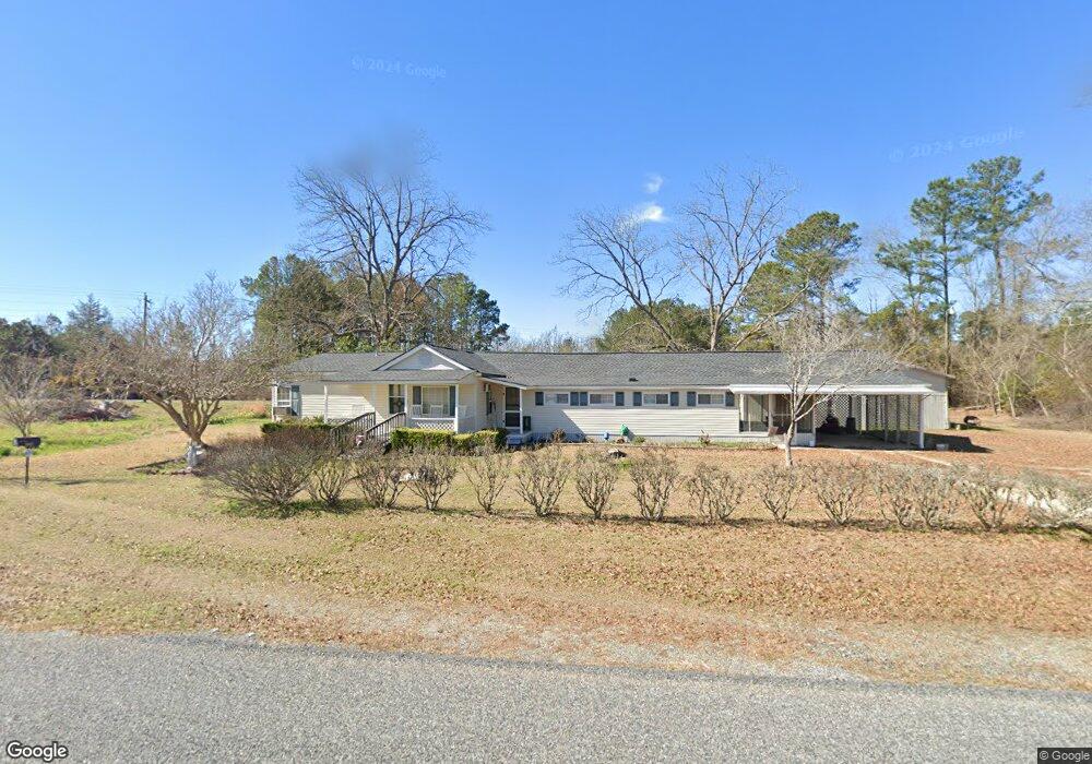
1957 Rockledge Rd Rockledge, GA 30454
Estimated Value: $65,000 - $153,000
Studio
1
Bath
1,289
Sq Ft
$82/Sq Ft
Est. Value
About This Home
This home is located at 1957 Rockledge Rd, Rockledge, GA 30454 and is currently estimated at $105,966, approximately $82 per square foot. 1957 Rockledge Rd is a home located in Laurens County with nearby schools including Southwest Laurens Elementary School, Northwest Laurens Elementary School, and East Laurens Primary School.
Ownership History
Date
Name
Owned For
Owner Type
Purchase Details
Closed on
Oct 18, 2012
Sold by
Spivey Alver S
Bought by
Spivey Alver S and Spivey Shelby J
Current Estimated Value
Home Financials for this Owner
Home Financials are based on the most recent Mortgage that was taken out on this home.
Original Mortgage
$40,200
Interest Rate
3.53%
Mortgage Type
New Conventional
Purchase Details
Closed on
Sep 9, 1909
Bought by
Spivey Alver S
Create a Home Valuation Report for This Property
The Home Valuation Report is an in-depth analysis detailing your home's value as well as a comparison with similar homes in the area
Purchase History
| Date | Buyer | Sale Price | Title Company |
|---|---|---|---|
| Spivey Alver S | -- | -- | |
| Spivey Alver S | -- | -- |
Source: Public Records
Mortgage History
| Date | Status | Borrower | Loan Amount |
|---|---|---|---|
| Closed | Spivey Alver S | $40,200 |
Source: Public Records
Tax History
| Year | Tax Paid | Tax Assessment Tax Assessment Total Assessment is a certain percentage of the fair market value that is determined by local assessors to be the total taxable value of land and additions on the property. | Land | Improvement |
|---|---|---|---|---|
| 2024 | $371 | $17,621 | $1,260 | $16,361 |
| 2023 | $351 | $16,523 | $1,260 | $15,263 |
| 2022 | $400 | $16,487 | $1,224 | $15,263 |
| 2021 | $431 | $17,455 | $1,800 | $15,655 |
| 2020 | $431 | $17,455 | $1,800 | $15,655 |
| 2019 | $431 | $17,455 | $1,800 | $15,655 |
| 2018 | $432 | $17,455 | $1,800 | $15,655 |
| 2017 | $431 | $17,455 | $1,800 | $15,655 |
| 2016 | $388 | $17,455 | $1,800 | $15,655 |
| 2015 | $388 | $17,455 | $1,800 | $15,655 |
| 2014 | $220 | $9,566 | $1,433 | $8,134 |
Source: Public Records
Map
Nearby Homes
- 2131 Rockledge Rd
- 0 Lake Helen Loop Unit 10640271
- 0 Raymond Wilkes Rd
- 1578 Edsel Senn Rd
- 1005 Pleasant Springs Church Rd
- 0 Knox Mill Rd Unit 10640244
- 0 Muskogee Trail Unit LOT 84
- 0 Muskogee Trail Unit 30570
- NA Rd
- 0 Pendleton Creek Rd Unit SA340356
- 2618 Georgia 86
- Pendleton Rreek Rd
- 0 Branch Rd Unit 22915184
- 509 Maddox Rd
- 0 Rock Springs Rd
- 0 Rock Springs Rd Unit 183277
- 0 Ralph Keen Rd Unit 10677710
- 0 Ralph Keen Rd Unit 21905127
- 1613 Georgia 29
- 00 Rock Springs Rd
- 2965 Georgia 29
- 2965 Ga Highway 29 S
- 2955 Ga Highway 29 S
- 2971 Ga Highway 29 S
- 2971 Georgia 29
- 2978 Ga Highway 29 S
- 2978 Georgia 29
- 2980 Ga Highway 29 S
- 2979 Ga Highway 29 S
- 1923 Thigpen Cemetery Rd
- 2994 Ga Highway 29 S
- 1966 Rockledge Rd
- 1923 Rockledge Rd
- 2997 Ga Highway 29 S
- 2997 Georgia 29
- 3002 Ga Highway 29 S
- 1947 Thigpen Cemetery Rd
- 1897 Rockledge Rd
- 2890 Ga Highway 29 S
- 1837 Thigpen Cemetery Rd
Your Personal Tour Guide
Ask me questions while you tour the home.