Estimated Value: $411,887 - $446,000
3
Beds
4
Baths
1,336
Sq Ft
$323/Sq Ft
Est. Value
About This Home
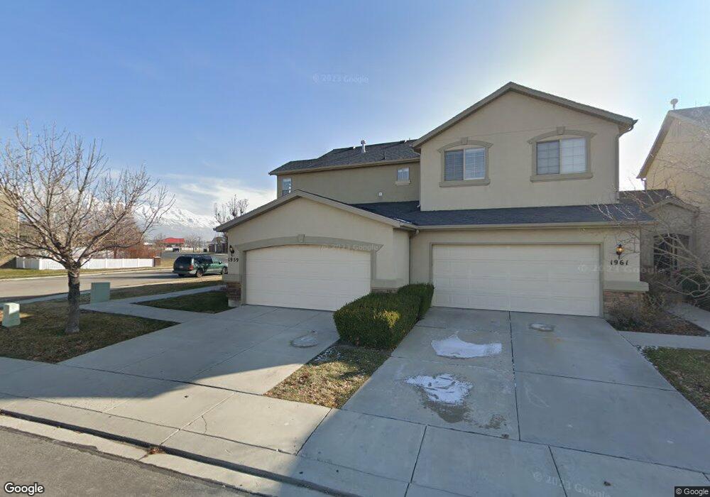
This home is located at 1957 W 2175 N, Lehi, UT 84043 and is currently estimated at $431,222, approximately $322 per square foot. 1957 W 2175 N is a home located in Utah County with nearby schools including Liberty Hills Elementary School, Skyridge High School, and Ascent Academies of Utah - Lehi Campus.
Ownership History
Date
Name
Owned For
Owner Type
Purchase Details
Closed on
Nov 28, 2023
Sold by
Hansen Dale and Hansen Abby
Bought by
Taigen Kory and Taigen Mckayla
Current Estimated Value
Home Financials for this Owner
Home Financials are based on the most recent Mortgage that was taken out on this home.
Original Mortgage
$423,193
Outstanding Balance
$416,342
Interest Rate
7.63%
Mortgage Type
FHA
Estimated Equity
$14,880
Purchase Details
Closed on
May 25, 2006
Sold by
Pointe Meadows Townhomes Llc
Bought by
Hansen Abby E
Home Financials for this Owner
Home Financials are based on the most recent Mortgage that was taken out on this home.
Original Mortgage
$150,000
Interest Rate
6.46%
Mortgage Type
Purchase Money Mortgage
Create a Home Valuation Report for This Property
The Home Valuation Report is an in-depth analysis detailing your home's value as well as a comparison with similar homes in the area
Home Values in the Area
Average Home Value in this Area
Purchase History
| Date | Buyer | Sale Price | Title Company |
|---|---|---|---|
| Taigen Kory | -- | Cottonwood Title | |
| Hansen Abby E | -- | Cottonwood Title |
Source: Public Records
Mortgage History
| Date | Status | Borrower | Loan Amount |
|---|---|---|---|
| Open | Taigen Kory | $423,193 | |
| Previous Owner | Hansen Abby E | $150,000 |
Source: Public Records
Tax History Compared to Growth
Tax History
| Year | Tax Paid | Tax Assessment Tax Assessment Total Assessment is a certain percentage of the fair market value that is determined by local assessors to be the total taxable value of land and additions on the property. | Land | Improvement |
|---|---|---|---|---|
| 2025 | $1,878 | $227,755 | $60,900 | $353,200 |
| 2024 | $1,878 | $219,725 | $0 | $0 |
| 2023 | $1,624 | $375,200 | $0 | $0 |
| 2022 | $3,088 | $380,400 | $57,100 | $323,300 |
| 2021 | $1,536 | $286,000 | $42,900 | $243,100 |
| 2020 | $1,464 | $269,500 | $40,400 | $229,100 |
| 2019 | $1,249 | $239,100 | $35,900 | $203,200 |
| 2018 | $1,161 | $210,000 | $31,500 | $178,500 |
| 2017 | $1,058 | $101,805 | $0 | $0 |
| 2016 | $1,141 | $101,805 | $0 | $0 |
| 2015 | $1,201 | $101,750 | $0 | $0 |
| 2014 | $1,012 | $85,250 | $0 | $0 |
Source: Public Records
Map
Nearby Homes
- 1898 W Pointe Meadow Loop
- 1968 N 2040 W Unit 40
- 1969 N 2040 St W
- 2013 N 2040 W
- 1990 N 2040 W
- 1990 N 2040 W Unit 41
- 1912 W 2250 N
- 1882 N 2230 St W Unit 24
- 2191 W Swift Fox Dr Unit 274
- 999 Empire St
- 2184 W Cape Fox Way N Unit 220
- 1920 N 2230 St W Unit 27
- 1060 N Canvasback Dr Unit 405
- 500 S Center St E
- 1672 S 70 W
- 2209 W Swift Fox Way Unit 271
- 2179 W Swift Fox Way Unit 276
- 2178 W Cape Fox Way Unit 221
- 1970 N 2090 St W
- 1854 N 2230 W
- 1961 W 2175 N
- 1959 2175 N
- 1969 W 2175 N
- 1969 W 2175 N Unit 6C
- 1975 W 2175 N
- 1975 W 2175 N Unit 6D
- 1935 W Pointe Meadow Loop
- 1935 W Pointe Meadow Loop
- 1993 W 2175 N
- 1997 W 2175 N
- 1988 W 2180 N Unit 5D
- 1923 Pointe Meadow Loop
- 1923 W Pointe Meadow Loop
- 2001 W 2175 N
- 1994 W 2180 N
- 2203 N 1960 W
- 2005 W 2175 N
- 2002 W 2180 N
- 2002 W 2180 N Unit 5B
- 2211 N 1960 W