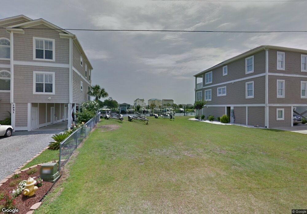
1957 W Sea Aire Canal SW Lockwoods Folly, NC 28462
Estimated Value: $617,000 - $1,261,000
4
Beds
4
Baths
2,260
Sq Ft
$399/Sq Ft
Est. Value
About This Home
This home is located at 1957 W Sea Aire Canal SW, Lockwoods Folly, NC 28462 and is currently estimated at $901,195, approximately $398 per square foot. 1957 W Sea Aire Canal SW is a home located in Brunswick County with nearby schools including Virginia Williamson Elementary School, Cedar Grove Middle School, and West Brunswick High School.
Ownership History
Date
Name
Owned For
Owner Type
Purchase Details
Closed on
Feb 24, 2016
Sold by
Tucker Lane S and Tucker Saundra H
Bought by
Pernell Scott W and Pernell Nina F
Current Estimated Value
Purchase Details
Closed on
Jul 31, 2014
Sold by
Tucker Gregory A and Tucker Wendy L
Bought by
Tucker Lane S and Tucker Saundra H
Purchase Details
Closed on
Mar 9, 2011
Sold by
Almond Richard Lee and Almond Mitzie A
Bought by
Tucker Gregory A and Tucker Wendy L
Home Financials for this Owner
Home Financials are based on the most recent Mortgage that was taken out on this home.
Original Mortgage
$55,000
Interest Rate
4.76%
Mortgage Type
New Conventional
Create a Home Valuation Report for This Property
The Home Valuation Report is an in-depth analysis detailing your home's value as well as a comparison with similar homes in the area
Home Values in the Area
Average Home Value in this Area
Purchase History
| Date | Buyer | Sale Price | Title Company |
|---|---|---|---|
| Pernell Scott W | $80,000 | Chicago Title Insurance Co | |
| Tucker Lane S | $53,500 | Chicago Title Insurance Co | |
| Tucker Gregory A | $160,000 | None Available |
Source: Public Records
Mortgage History
| Date | Status | Borrower | Loan Amount |
|---|---|---|---|
| Previous Owner | Tucker Gregory A | $55,000 |
Source: Public Records
Tax History Compared to Growth
Tax History
| Year | Tax Paid | Tax Assessment Tax Assessment Total Assessment is a certain percentage of the fair market value that is determined by local assessors to be the total taxable value of land and additions on the property. | Land | Improvement |
|---|---|---|---|---|
| 2025 | -- | $712,170 | $375,000 | $337,170 |
| 2024 | $2,799 | $712,170 | $375,000 | $337,170 |
| 2023 | $2,633 | $712,170 | $375,000 | $337,170 |
| 2022 | $0 | $474,640 | $195,000 | $279,640 |
| 2021 | $0 | $474,640 | $195,000 | $279,640 |
| 2020 | $633 | $474,640 | $195,000 | $279,640 |
| 2019 | $2,590 | $212,670 | $195,000 | $17,670 |
| 2018 | $1,999 | $136,890 | $125,000 | $11,890 |
| 2017 | $1,430 | $136,890 | $125,000 | $11,890 |
| 2016 | $633 | $128,350 | $125,000 | $3,350 |
| 2015 | $633 | $128,350 | $125,000 | $3,350 |
| 2014 | $647 | $143,950 | $140,000 | $3,950 |
Source: Public Records
Map
Nearby Homes
- 2011 Styron's Landing Rd SW Unit 156&157
- 1794 E Sea Aire SW
- 2799 Sea Aire Dr SW
- 161 High Point St
- 2830 Abbotts St SW
- 2826 Abbotts St SW
- 188 Greensboro St
- 126 Fayetteville St
- 1912 Triton Dr SW
- 117 Salisbury St
- 1894 Muriel St SW
- 374 Ocean Blvd W
- 406 Ocean Blvd W
- 2643 Nags Head Rd SW
- 128 Charlotte St
- 377 Ocean Blvd W
- 344 Ocean Blvd W
- 436 Ocean Blvd W
- 342 Ocean W
- 433 Ocean Blvd W Unit D
- 1943 W Sea Aire Canal SW
- 1947 W Sea Aire Canal SW
- 1951 W Sea Aire Canal SW
- 1939 W Sea Aire Canal SW
- 1933 W Sea Aire Canal SW
- 1963 W Sea Aire Canal SW
- 1897 Waterway St SW
- 1927 W Sea Aire Canal SW
- 1905 Waterway St SW
- 1913 Waterway St SW
- 1923 W Sea Aire Canal SW
- 1971 W Sea Aire Canal SW
- 1894 Waterway St SW
- 1892 Waterway St SW
- 1901 Waterway St SW
- 1935 Waterway St SW
- 1919 W Sea Aire Canal SW
- 1919 Waterway St SW
- 1915 W Sea Aire Canal SW
- 1911 W Sea Aire Canal SW