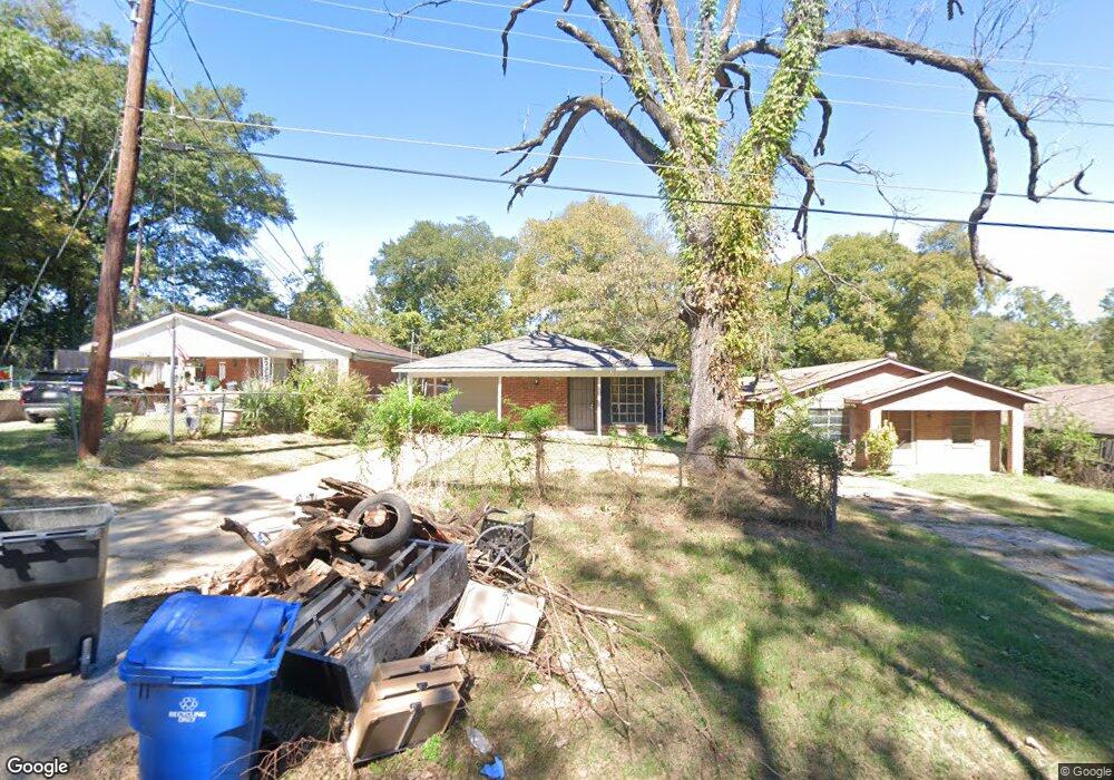
1958 Maple St Shreveport, LA 71103
Allendale-Lakeside NeighborhoodEstimated Value: $26,000 - $45,000
3
Beds
1
Bath
1,060
Sq Ft
$35/Sq Ft
Est. Value
About This Home
This home is located at 1958 Maple St, Shreveport, LA 71103 and is currently estimated at $37,436, approximately $35 per square foot. 1958 Maple St is a home located in Caddo Parish with nearby schools including Judson Fundamental Elementary School, South Highlands Elementary, and Fairfield Magnet School.
Ownership History
Date
Name
Owned For
Owner Type
Purchase Details
Closed on
Jul 22, 2024
Sold by
Shreveport Ag Llc
Bought by
Butler Cornelious
Current Estimated Value
Purchase Details
Closed on
May 26, 2017
Sold by
Home Federal Bank
Bought by
Shreveport Ag Llc
Home Financials for this Owner
Home Financials are based on the most recent Mortgage that was taken out on this home.
Original Mortgage
$276,470
Interest Rate
4.03%
Mortgage Type
Purchase Money Mortgage
Purchase Details
Closed on
Nov 1, 2012
Sold by
Deutsche Bank & Trust Company
Bought by
New Song Investment Llc
Home Financials for this Owner
Home Financials are based on the most recent Mortgage that was taken out on this home.
Original Mortgage
$37,500
Interest Rate
3.43%
Mortgage Type
Future Advance Clause Open End Mortgage
Create a Home Valuation Report for This Property
The Home Valuation Report is an in-depth analysis detailing your home's value as well as a comparison with similar homes in the area
Home Values in the Area
Average Home Value in this Area
Purchase History
| Date | Buyer | Sale Price | Title Company |
|---|---|---|---|
| Butler Cornelious | $18,000 | Landowners Abstract & Title | |
| Shreveport Ag Llc | $338,827 | Pierremont Title | |
| New Song Investment Llc | $23,750 | None Available |
Source: Public Records
Mortgage History
| Date | Status | Borrower | Loan Amount |
|---|---|---|---|
| Previous Owner | Shreveport Ag Llc | $276,470 | |
| Previous Owner | New Song Investment Llc | $37,500 |
Source: Public Records
Tax History Compared to Growth
Tax History
| Year | Tax Paid | Tax Assessment Tax Assessment Total Assessment is a certain percentage of the fair market value that is determined by local assessors to be the total taxable value of land and additions on the property. | Land | Improvement |
|---|---|---|---|---|
| 2024 | $432 | $2,773 | $365 | $2,408 |
| 2023 | $439 | $2,756 | $348 | $2,408 |
| 2022 | $439 | $2,756 | $348 | $2,408 |
| 2021 | $433 | $2,756 | $348 | $2,408 |
| 2020 | $433 | $2,756 | $348 | $2,408 |
| 2019 | $461 | $2,853 | $348 | $2,505 |
| 2018 | $367 | $2,853 | $348 | $2,505 |
| 2017 | $469 | $2,853 | $348 | $2,505 |
| 2015 | $461 | $3,555 | $348 | $3,207 |
| 2014 | $372 | $2,850 | $350 | $2,500 |
| 2013 | -- | $2,850 | $350 | $2,500 |
Source: Public Records
Map
Nearby Homes
- 1848 W Jordan St
- 1844 W Jordan St
- 1438 Arlington Ave
- 1719 Lakeshore Dr
- 2740 Murphy St
- 2230 Darien St
- 2322 Darien St
- 1726 Murphy St
- 2532 Lillian St
- 2017 Looney St
- 1734 Ashton St
- 1644 Looney St
- 1680 Looney St
- 937 Lewis Place
- 1943 Milam St
- 1933 Milam St
- 2515 Stonewall St
- 2322 Leslie St
- 2635 Lillian St
- 1514 Gary St