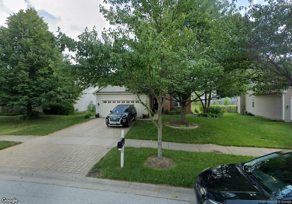
1959 Capri Dr Aurora, IL 60503
Far Southeast NeighborhoodEstimated Value: $439,000 - $487,000
--
Bed
1
Bath
2,081
Sq Ft
$221/Sq Ft
Est. Value
About This Home
This home is located at 1959 Capri Dr, Aurora, IL 60503 and is currently estimated at $459,647, approximately $220 per square foot. 1959 Capri Dr is a home located in Will County with nearby schools including Homestead Elementary School, Murphy Junior High School, and Oswego East High School.
Ownership History
Date
Name
Owned For
Owner Type
Purchase Details
Closed on
Nov 17, 1999
Sold by
Pulte Home Corp
Bought by
Paras Robert D and Paras Jennifer A
Current Estimated Value
Home Financials for this Owner
Home Financials are based on the most recent Mortgage that was taken out on this home.
Original Mortgage
$235,700
Outstanding Balance
$72,672
Interest Rate
7.88%
Estimated Equity
$386,975
Create a Home Valuation Report for This Property
The Home Valuation Report is an in-depth analysis detailing your home's value as well as a comparison with similar homes in the area
Home Values in the Area
Average Home Value in this Area
Purchase History
| Date | Buyer | Sale Price | Title Company |
|---|---|---|---|
| Paras Robert D | $248,500 | -- |
Source: Public Records
Mortgage History
| Date | Status | Borrower | Loan Amount |
|---|---|---|---|
| Open | Paras Robert D | $235,700 |
Source: Public Records
Tax History Compared to Growth
Tax History
| Year | Tax Paid | Tax Assessment Tax Assessment Total Assessment is a certain percentage of the fair market value that is determined by local assessors to be the total taxable value of land and additions on the property. | Land | Improvement |
|---|---|---|---|---|
| 2024 | $9,968 | $122,357 | $23,259 | $99,098 |
| 2023 | $9,968 | $108,089 | $20,547 | $87,542 |
| 2022 | $8,876 | $95,189 | $19,437 | $75,752 |
| 2021 | $8,818 | $90,656 | $18,511 | $72,145 |
| 2020 | $8,441 | $89,220 | $18,218 | $71,002 |
| 2019 | $8,529 | $86,706 | $17,705 | $69,001 |
| 2018 | $7,846 | $77,711 | $17,315 | $60,396 |
| 2017 | $7,713 | $75,705 | $16,868 | $58,837 |
| 2016 | $7,729 | $74,075 | $16,505 | $57,570 |
| 2015 | $8,517 | $71,226 | $15,870 | $55,356 |
| 2014 | $8,517 | $70,910 | $15,870 | $55,040 |
| 2013 | $8,517 | $70,910 | $15,870 | $55,040 |
Source: Public Records
Map
Nearby Homes
- 2136 Grayhawk Dr Unit 1
- 3130 Cambria Ct Unit 386
- 2723 Rosehall Ln
- 2245 Hillsboro Ct
- 2538 Needham Ct
- 2746 Hillsboro Blvd
- 3144 Johnsbury Ln
- 2723 Hillsboro Blvd
- 2735 Hillsboro Blvd Unit 3
- 2255 Georgetown Cir
- 2571 Hillsboro Blvd
- 2556 Hillsboro Blvd
- 2870 Dorothy Dr
- 2546 Capitol Ave
- 2526 Capitol Ave
- 2723 Emma Cir
- 3290 Johnsbury Ct
- 2495 Hafenrichter Rd
- 2509 Rosehall Ln
- 2723 Northmoor Dr
- 1963 Capri Dr
- 1953 Capri Dr
- 2007 Seaview Dr
- 1979 Capri Dr
- 2011 Seaview Dr
- 2003 Seaview Dr
- 1954 Bayfield Dr
- 2015 Seaview Dr
- 1960 Bayfield Dr
- 1983 Capri Dr
- 1970 Bayfield Dr
- 1960 Capri Dr
- 1999 Seaview Dr
- 1950 Capri Dr
- 1970 Capri Dr
- 2925 Red Rose Ct
- 2922 Red Rose Ct
- 2949 Red Rose Rd
- 1997 Capri Dr
- 2019 Seaview Dr