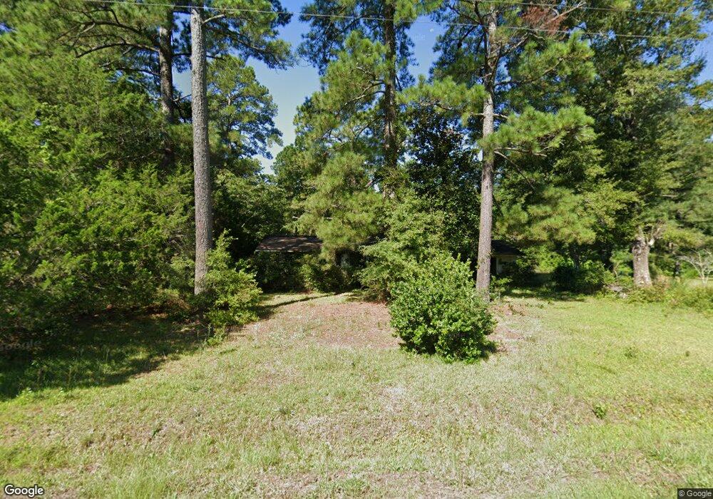
1959 Dirty Branch Rd Conway, SC 29527
Estimated Value: $143,994 - $214,000
3
Beds
1
Bath
912
Sq Ft
$199/Sq Ft
Est. Value
About This Home
This home is located at 1959 Dirty Branch Rd, Conway, SC 29527 and is currently estimated at $181,749, approximately $199 per square foot. 1959 Dirty Branch Rd is a home located in Horry County with nearby schools including Pee Dee Elementary School, Whittemore Park Middle School, and Conway High School.
Ownership History
Date
Name
Owned For
Owner Type
Purchase Details
Closed on
Nov 5, 2021
Sold by
Lowery Becky K
Bought by
Moore Sharon K
Current Estimated Value
Purchase Details
Closed on
Oct 3, 2002
Sold by
Graham Raley
Bought by
Skipper Marilyn G
Create a Home Valuation Report for This Property
The Home Valuation Report is an in-depth analysis detailing your home's value as well as a comparison with similar homes in the area
Home Values in the Area
Average Home Value in this Area
Purchase History
| Date | Buyer | Sale Price | Title Company |
|---|---|---|---|
| Moore Sharon K | -- | -- | |
| Lowery Becky K | -- | -- | |
| Skipper Marilyn G | -- | -- |
Source: Public Records
Tax History Compared to Growth
Tax History
| Year | Tax Paid | Tax Assessment Tax Assessment Total Assessment is a certain percentage of the fair market value that is determined by local assessors to be the total taxable value of land and additions on the property. | Land | Improvement |
|---|---|---|---|---|
| 2024 | $588 | $5,688 | $5,227 | $461 |
| 2023 | $588 | $1,686 | $1,350 | $336 |
| 2021 | $679 | $1,686 | $1,350 | $336 |
| 2020 | $391 | $1,686 | $1,350 | $336 |
| 2019 | $615 | $3,522 | $1,350 | $2,172 |
| 2018 | $559 | $3,042 | $1,110 | $1,932 |
| 2017 | -- | $3,042 | $1,110 | $1,932 |
| 2016 | -- | $3,042 | $1,110 | $1,932 |
| 2015 | $544 | $3,042 | $1,110 | $1,932 |
| 2014 | $527 | $3,042 | $1,110 | $1,932 |
Source: Public Records
Map
Nearby Homes
- 1911 Dirty Branch Rd
- 2812 Highway 378
- 0 Juniper Bay Rd
- 2626 Highway 378
- 2706 Green Pond Cir
- 1036 MacAla Dr
- 3230 Merganser Dr
- 4005 Cosmos Ct Unit Dunlin- Lot 761
- 4004 Cosmos Ct Unit Ibis- Lot 759
- 1416 Boker Rd
- 1300 Ruddy Ct
- 3120 Merganser Dr
- 1349 Boker Rd
- 3524 Merganser Dr
- 1301 Mandarin Dr
- 3689 Highway 378
- 3017 Spain Ln
- 494 Warren Springs Dr
- 2405 Capri Ct
- 800 Spyderco Rd
- 1949 Dirty Branch Rd
- 1951 Dirty Branch Rd Unit 1952 Dirty Branch Rd
- 1962 Dirty Branch Rd
- 1952 Dirty Branch Rd
- 1966 Dirty Branch Rd
- 1882 Dirty Branch Rd
- 2019 Dirty Branch Rd
- 1879 Dirty Branch Rd
- 2043 Dirty Branch Rd
- TBD Dirty Branch Rd Unit 28.28 Acres Dirty Br
- TBD Dirty Branch Rd
- 1775 Dirty Branch Rd
- 1749 Dirty Branch Rd
- 2937 Highway 378
- 1770 Dirty Branch Rd
- 2897 Highway 378
- 3130 Highway 378
- 2925 Highway 378
- 0 Dirty Branch Rd SW Unit 1801532
- Dirty Branch Rd Dirty Branch Rd