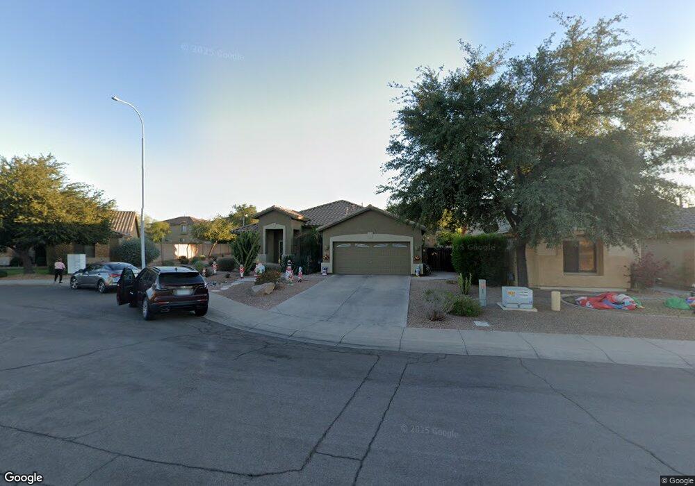
1959 E Springfield Place Chandler, AZ 85286
East Chandler NeighborhoodEstimated Value: $556,285 - $639,000
--
Bed
3
Baths
2,171
Sq Ft
$281/Sq Ft
Est. Value
About This Home
This home is located at 1959 E Springfield Place, Chandler, AZ 85286 and is currently estimated at $609,571, approximately $280 per square foot. 1959 E Springfield Place is a home located in Maricopa County with nearby schools including Chandler Traditional Academy-Humphrey, Santan Junior High School, and BASIS Chandler Primary North Campus.
Ownership History
Date
Name
Owned For
Owner Type
Purchase Details
Closed on
Oct 16, 2022
Sold by
Kowalek William F and Kowalek Ellen M
Bought by
Kowalek William F and Kowalek Ellen M
Current Estimated Value
Purchase Details
Closed on
Jul 12, 2001
Sold by
First American Title Insurance Company
Bought by
Kowalek William F and Kowalek Ellen M
Create a Home Valuation Report for This Property
The Home Valuation Report is an in-depth analysis detailing your home's value as well as a comparison with similar homes in the area
Home Values in the Area
Average Home Value in this Area
Purchase History
| Date | Buyer | Sale Price | Title Company |
|---|---|---|---|
| Kowalek William F | -- | None Listed On Document | |
| Kowalek William F | $177,111 | First American Title |
Source: Public Records
Tax History Compared to Growth
Tax History
| Year | Tax Paid | Tax Assessment Tax Assessment Total Assessment is a certain percentage of the fair market value that is determined by local assessors to be the total taxable value of land and additions on the property. | Land | Improvement |
|---|---|---|---|---|
| 2025 | $2,242 | $28,785 | -- | -- |
| 2024 | $2,166 | $27,414 | -- | -- |
| 2023 | $2,166 | $44,060 | $8,810 | $35,250 |
| 2022 | $2,090 | $32,280 | $6,450 | $25,830 |
| 2021 | $2,190 | $30,900 | $6,180 | $24,720 |
| 2020 | $2,180 | $28,770 | $5,750 | $23,020 |
| 2019 | $2,097 | $26,620 | $5,320 | $21,300 |
| 2018 | $2,031 | $25,550 | $5,110 | $20,440 |
| 2017 | $1,893 | $24,260 | $4,850 | $19,410 |
| 2016 | $1,823 | $24,250 | $4,850 | $19,400 |
| 2015 | $1,767 | $23,430 | $4,680 | $18,750 |
Source: Public Records
Map
Nearby Homes
- 1946 E Browning Place
- 1991 E Browning Place
- 927 S Soho Ln
- 1925 E Geronimo St
- 950 S Edith Dr
- 1954 E Geronimo St
- 2133 E Kesler Ln
- 476 S Soho Ln Unit 2
- 629 S Danyell Dr
- 2145 E Longhorn Place
- 900 S Canal Dr Unit 238
- 1750 E Camino Ct
- 505 S Soho Ln Unit 30
- 1670 E Whitten St
- 2230 E Whitten St
- 2477 E Flintlock Place Unit II
- 2253 E Kempton Rd
- 600 S Velero St
- 1731 E Folley Ct
- 1936 E Derringer Way Unit 1
- 1949 E Springfield Place
- 1939 E Springfield Place
- 1979 E Springfield Place
- 1954 E Browning Place
- 1958 E Browning Place
- 1950 E Browning Place
- 1978 E Browning Place
- 1982 E Browning Place
- 1929 E Springfield Place
- 1989 E Springfield Place
- 1099 S Amber St
- 1986 E Browning Place
- 1962 E Browning Place
- 1950 E Springfield Place
- 1974 E Browning Place
- 1916 E Browning Place
- 1960 E Springfield Place
- 1919 E Springfield Place
- 1990 E Browning Place
- 1980 E Springfield Place