Estimated Value: $339,988 - $403,000
3
Beds
2
Baths
1,866
Sq Ft
$196/Sq Ft
Est. Value
About This Home
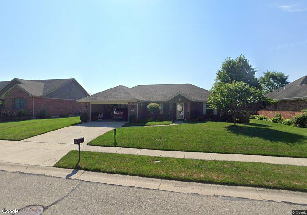
This home is located at 1959 Kitty Hawk Dr, Xenia, OH 45385 and is currently estimated at $366,247, approximately $196 per square foot. 1959 Kitty Hawk Dr is a home located in Greene County with nearby schools including Xenia High School, Summit Academy Community School for Alternative Learners - Xenia, and Legacy Christian Academy.
Ownership History
Date
Name
Owned For
Owner Type
Purchase Details
Closed on
Mar 19, 2014
Sold by
Weber Wanda L
Bought by
Hatten Kelley A and Hatten Damiena L
Current Estimated Value
Purchase Details
Closed on
Apr 22, 2009
Sold by
Weber James M and Weber Wanda L
Bought by
Weber James M and Weber Wanda L
Purchase Details
Closed on
Oct 24, 2008
Sold by
Jmw Associates Ltd
Bought by
Weber James M and Weber Wanda L
Purchase Details
Closed on
Mar 9, 2005
Sold by
P F D Development P L L
Bought by
Jmw Associates Ltd
Home Financials for this Owner
Home Financials are based on the most recent Mortgage that was taken out on this home.
Original Mortgage
$31,900
Interest Rate
5.61%
Mortgage Type
Seller Take Back
Create a Home Valuation Report for This Property
The Home Valuation Report is an in-depth analysis detailing your home's value as well as a comparison with similar homes in the area
Home Values in the Area
Average Home Value in this Area
Purchase History
| Date | Buyer | Sale Price | Title Company |
|---|---|---|---|
| Hatten Kelley A | $25,000 | None Available | |
| Weber James M | -- | Attorney | |
| Weber James M | -- | Attorney | |
| Jmw Associates Ltd | $32,900 | -- |
Source: Public Records
Mortgage History
| Date | Status | Borrower | Loan Amount |
|---|---|---|---|
| Previous Owner | Jmw Associates Ltd | $31,900 |
Source: Public Records
Tax History Compared to Growth
Tax History
| Year | Tax Paid | Tax Assessment Tax Assessment Total Assessment is a certain percentage of the fair market value that is determined by local assessors to be the total taxable value of land and additions on the property. | Land | Improvement |
|---|---|---|---|---|
| 2024 | $3,367 | $90,560 | $18,270 | $72,290 |
| 2023 | $3,367 | $90,560 | $18,270 | $72,290 |
| 2022 | $2,909 | $68,240 | $12,180 | $56,060 |
| 2021 | $2,949 | $68,240 | $12,180 | $56,060 |
| 2020 | $2,822 | $68,240 | $12,180 | $56,060 |
| 2019 | $2,344 | $55,260 | $13,360 | $41,900 |
| 2018 | $2,353 | $55,260 | $13,360 | $41,900 |
| 2017 | $2,189 | $55,260 | $13,360 | $41,900 |
| 2016 | $2,190 | $51,250 | $13,360 | $37,890 |
| 2015 | $2,196 | $51,250 | $13,360 | $37,890 |
| 2014 | $679 | $13,360 | $13,360 | $0 |
Source: Public Records
Map
Nearby Homes
- 2144 Tandem Dr
- 2223 Tandem Dr
- 2096 High Wheel Dr
- 2540 Cornwall Dr
- 2540 Jenny Marie Dr
- 2499 Jenny Marie Dr
- 0 Berkshire Dr Unit 942854
- 2421 Louisiana Dr
- 1255 Colorado Dr
- 1881 Commonwealth Dr
- 2187 Minnesota Dr
- 2265 Minnesota Dr
- 1908 Whitt St
- 2852 Raxit Ct
- 2189 Mississippi Dr
- 2685 Childers Dr
- 1068 Hedges Rd
- 2705 Tennessee Dr
- 1766 Gayhart Dr
- 1248 Prem Place
- 1949 Kitty Hawk Dr
- lot # 206 Kitty Hawk Dr
- 1958 Lakeview Dr
- 1939 Kitty Hawk Dr
- 1948 Lakeview Dr
- 1968 Lakeview Dr
- 1950 Kitty Hawk Dr
- 1938 Lakeview Dr
- 1970 Kitty Hawk Dr
- 1978 Lakeview Dr
- 1931 Kitty Hawk Dr
- 1940 Kitty Hawk Dr
- 1989 Kitty Hawk Dr
- 1980 Kitty Hawk Dr
- 1930 Lakeview Dr
- 2029 Kitty Hawk Dr
- 1930 Kitty Hawk Dr
- 1959 Lakeview Dr
- 1921 Kitty Hawk Dr
- 1951 Lakeview Dr