Estimated Value: $412,000 - $495,000
3
Beds
3
Baths
1,807
Sq Ft
$248/Sq Ft
Est. Value
About This Home
This home is located at 1959 Riverside Rd, Niles, MI 49120 and is currently estimated at $448,953, approximately $248 per square foot. 1959 Riverside Rd is a home located in Berrien County with nearby schools including Ottawa Elementary School, Moccasin Elementary School, and Buchanan Middle School.
Ownership History
Date
Name
Owned For
Owner Type
Purchase Details
Closed on
Feb 20, 2025
Sold by
Doud Gregg E and Doud Helen E
Bought by
Doud Gregg E and Doud Helen E
Current Estimated Value
Purchase Details
Closed on
Nov 8, 1999
Purchase Details
Closed on
Feb 14, 1996
Purchase Details
Closed on
Dec 15, 1981
Create a Home Valuation Report for This Property
The Home Valuation Report is an in-depth analysis detailing your home's value as well as a comparison with similar homes in the area
Home Values in the Area
Average Home Value in this Area
Purchase History
| Date | Buyer | Sale Price | Title Company |
|---|---|---|---|
| Doud Gregg E | -- | -- | |
| Doud Gregg E | -- | -- | |
| -- | $23,000 | -- | |
| -- | $10,600 | -- | |
| -- | -- | -- |
Source: Public Records
Tax History Compared to Growth
Tax History
| Year | Tax Paid | Tax Assessment Tax Assessment Total Assessment is a certain percentage of the fair market value that is determined by local assessors to be the total taxable value of land and additions on the property. | Land | Improvement |
|---|---|---|---|---|
| 2025 | $4,346 | $234,900 | $0 | $0 |
| 2024 | $1,737 | $217,600 | $0 | $0 |
| 2023 | $1,654 | $215,500 | $0 | $0 |
| 2022 | $1,575 | $192,700 | $0 | $0 |
| 2021 | $3,773 | $192,300 | $12,000 | $180,300 |
| 2020 | $3,723 | $176,600 | $0 | $0 |
| 2019 | $3,655 | $150,500 | $12,000 | $138,500 |
| 2018 | $3,566 | $150,500 | $0 | $0 |
| 2017 | $3,536 | $145,500 | $0 | $0 |
| 2016 | $3,514 | $145,400 | $0 | $0 |
| 2015 | $3,509 | $137,600 | $0 | $0 |
| 2014 | $1,373 | $127,500 | $0 | $0 |
Source: Public Records
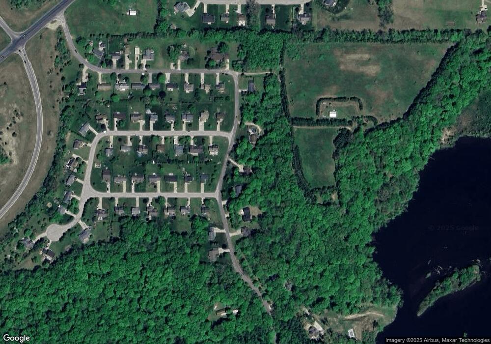
Map
Nearby Homes
- 1519 Riverside Rd
- 1209 Morris Dr
- 1836 Platt St
- 0 Rd
- 0 White Oaks Ridge Unit 25034246
- 1801 Irma Ave
- 3004 White Oaks Ln
- 1478 Valley View Dr Unit Lot 8
- 1491 Valley View Dr
- 824 N Philip Rd
- 0 Drew Dr Unit Lot 29 25001527
- 0 Drew Dr Unit Lot 31 25001523
- 0 Drew Dr Unit Lot 22 25001525
- V/L Scenic View Dr
- 2724 N Us Highway 31
- 103 Lexington Pointe Dr
- 143 Lexington Pointe Dr
- 110 Bridle Path Ln
- Integrity 1610 Plan at Longmeadow
- Elements 2700 Plan at Longmeadow
- 1969 Riverside Rd
- 1949 Riverside Rd
- 2320 David St
- 2321 Daniel St
- 1939 Riverside Rd
- 2311 David St
- 2330 David St
- 2330 Daniel St
- 1929 Riverside Rd
- 2321 David St
- 2331 David St
- 2340 David St
- 1999 Riverside Rd
- 2340 Daniel St
- 1930 Riverside Rd
- 2341 Daniel St
- 2310 E Geyer Rd
- 2350 David St
- 2350 Daniel St
- 2320 E Geyer Rd