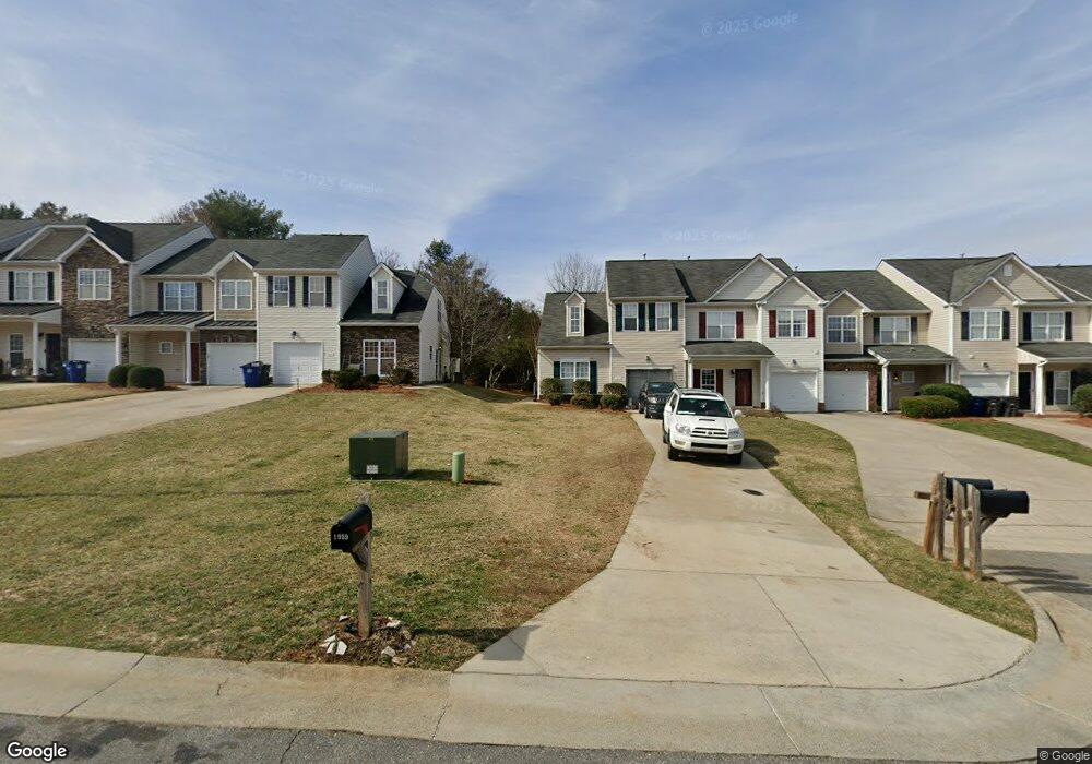
1959 Sentry Pointe Ln Winston Salem, NC 27127
Hootstown NeighborhoodEstimated Value: $227,000 - $244,000
3
Beds
3
Baths
1,589
Sq Ft
$149/Sq Ft
Est. Value
About This Home
This home is located at 1959 Sentry Pointe Ln, Winston Salem, NC 27127 and is currently estimated at $236,117, approximately $148 per square foot. 1959 Sentry Pointe Ln is a home located in Forsyth County with nearby schools including Griffith Elementary School, Flat Rock Middle, and Parkland High.
Ownership History
Date
Name
Owned For
Owner Type
Purchase Details
Closed on
Jan 14, 2009
Sold by
K Hovnanian Homes Of North Carolina Inc
Bought by
King Monique Carmel
Current Estimated Value
Home Financials for this Owner
Home Financials are based on the most recent Mortgage that was taken out on this home.
Original Mortgage
$113,850
Outstanding Balance
$72,193
Interest Rate
5.24%
Mortgage Type
FHA
Estimated Equity
$163,924
Create a Home Valuation Report for This Property
The Home Valuation Report is an in-depth analysis detailing your home's value as well as a comparison with similar homes in the area
Home Values in the Area
Average Home Value in this Area
Purchase History
| Date | Buyer | Sale Price | Title Company |
|---|---|---|---|
| King Monique Carmel | $116,000 | Chicago Title Insurance Co |
Source: Public Records
Mortgage History
| Date | Status | Borrower | Loan Amount |
|---|---|---|---|
| Open | King Monique Carmel | $113,850 |
Source: Public Records
Tax History Compared to Growth
Tax History
| Year | Tax Paid | Tax Assessment Tax Assessment Total Assessment is a certain percentage of the fair market value that is determined by local assessors to be the total taxable value of land and additions on the property. | Land | Improvement |
|---|---|---|---|---|
| 2025 | $2,065 | $218,100 | $39,000 | $179,100 |
| 2024 | $1,971 | $147,200 | $27,000 | $120,200 |
| 2023 | $1,971 | $147,200 | $27,000 | $120,200 |
| 2022 | $1,934 | $147,200 | $27,000 | $120,200 |
| 2021 | $1,899 | $147,200 | $27,000 | $120,200 |
| 2020 | $1,802 | $130,500 | $26,000 | $104,500 |
| 2019 | $1,815 | $130,500 | $26,000 | $104,500 |
| 2018 | $1,724 | $130,500 | $26,000 | $104,500 |
| 2016 | $1,578 | $119,940 | $26,000 | $93,940 |
| 2015 | $1,554 | $119,940 | $26,000 | $93,940 |
| 2014 | $1,507 | $119,940 | $26,000 | $93,940 |
Source: Public Records
Map
Nearby Homes
- 1936 Lantana Dr
- 2595 Azalea Place
- 1905 Crest Hollow Dr Unit 101
- 0 Ebert St
- 224 Ivy Glen Ct Unit 224
- 0 Virginia Branch Rd
- 1841 Camden Forest Dr
- 531 Ivy Glen Dr Unit 531
- 623 Ivy Glen Dr Unit 623
- 1922 Salem Bluff Dr Unit 1922
- 1785 Ralee Dr
- 2200 Sunderland Rd Unit 139K
- 250 Braeburn Dr
- 2235 Sunderland Rd Unit 97C
- 2235 Sunderland Rd Unit 105C
- 2752 Windy Crossing
- 1710 Sandersted Village Cir
- 3743 Heathrow Dr
- 2240 Sunderland Rd Unit 65N
- 3646 Heathrow Dr
- 1953 Sentry Pointe Ln
- 1965 Sentry Pointe Ln
- 1947 Sentry Pointe Ln
- 1971 Sentry Pointe Ln
- 1941 Sentry Pointe Ln
- 1977 Sentry Pointe Ln
- 1983 Sentry Pointe Ln
- 1966 Sentry Pointe Ln
- 1929 Sentry Pointe Ln
- 1923 Sentry Pointe Ln
- 0000 Sentry Pointe Ln
- 1917 Sentry Pointe Ln
- 1972 Sentry Pointe Ln
- 1978 Sentry Pointe Ln
- 1960 Sentry Pointe Ln
- 1911 Sentry Pointe Ln
- 1948 Sentry Pointe Ln Unit 403
- 1984 Sentry Pointe Ln
- 1942 Sentry Pointe Ln Unit 402
- 1942 Sentry Pointe Ln