1959 Village Cir Unit 18 Show Low, AZ 85901
Estimated Value: $275,000 - $289,000
2
Beds
3
Baths
1,532
Sq Ft
$184/Sq Ft
Est. Value
About This Home
This home is located at 1959 Village Cir Unit 18, Show Low, AZ 85901 and is currently estimated at $282,000, approximately $184 per square foot. 1959 Village Cir Unit 18 is a home located in Navajo County with nearby schools including Nikolaus Homestead Elementary School, Show Low High School, and Show Low Junior High School.
Ownership History
Date
Name
Owned For
Owner Type
Purchase Details
Closed on
Nov 24, 2008
Sold by
Lakefront Development Llc
Bought by
Clemen Mark and Katz Celia
Current Estimated Value
Purchase Details
Closed on
Feb 13, 2005
Sold by
Mtm Development Inc
Bought by
Lakefront Development Llc
Home Financials for this Owner
Home Financials are based on the most recent Mortgage that was taken out on this home.
Original Mortgage
$95,000
Interest Rate
5.79%
Mortgage Type
Seller Take Back
Create a Home Valuation Report for This Property
The Home Valuation Report is an in-depth analysis detailing your home's value as well as a comparison with similar homes in the area
Home Values in the Area
Average Home Value in this Area
Purchase History
| Date | Buyer | Sale Price | Title Company |
|---|---|---|---|
| Clemen Mark | -- | None Available | |
| Lakefront Development Llc | $10,000 | First American Title |
Source: Public Records
Mortgage History
| Date | Status | Borrower | Loan Amount |
|---|---|---|---|
| Previous Owner | Lakefront Development Llc | $95,000 |
Source: Public Records
Tax History Compared to Growth
Tax History
| Year | Tax Paid | Tax Assessment Tax Assessment Total Assessment is a certain percentage of the fair market value that is determined by local assessors to be the total taxable value of land and additions on the property. | Land | Improvement |
|---|---|---|---|---|
| 2026 | $1,280 | -- | -- | -- |
| 2025 | $1,261 | $16,339 | $1,147 | $15,192 |
| 2024 | $1,196 | $17,116 | $1,093 | $16,023 |
| 2023 | $1,261 | $13,680 | $950 | $12,730 |
| 2022 | $1,196 | $0 | $0 | $0 |
| 2021 | $1,197 | $0 | $0 | $0 |
| 2020 | $1,127 | $0 | $0 | $0 |
| 2019 | $1,125 | $0 | $0 | $0 |
| 2018 | $1,098 | $0 | $0 | $0 |
| 2017 | $1,017 | $0 | $0 | $0 |
| 2016 | $1,012 | $0 | $0 | $0 |
| 2015 | $864 | $7,098 | $800 | $6,298 |
Source: Public Records
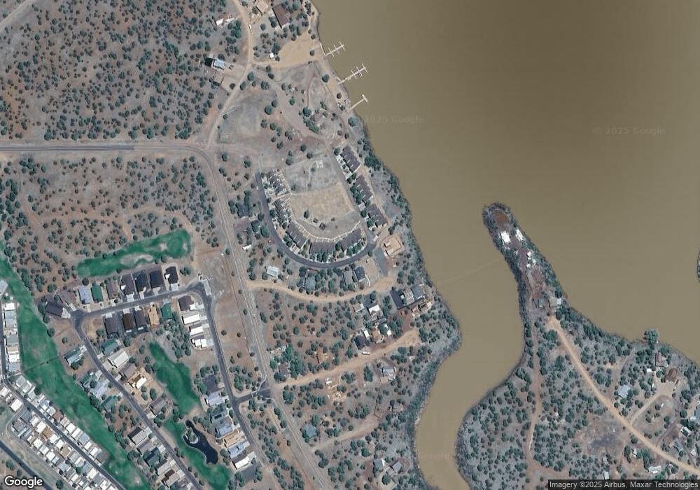
Map
Nearby Homes
- 1975 Village Dr
- 8276 Arrowhead Place Unit 58
- 8283 8285 Arrowhead Place
- 8281 Elsinore Place Unit 16-15
- 1956 Maritime Dr
- 1952 Maritime Dr
- 2024 Silver Creek Dr
- 2045 Silver Creek Dr
- 1916 Daggs Cir
- 1916 Daggs Cir Unit H
- 1933 Lynx Dr
- 1934 Lynx Dr
- 1938 Lynx Dr
- 1967 Lynx Dr
- 1942 Lynx Dr
- 1927 Foxtrot Ln Unit 80
- 1927 Foxtrot Ln
- 1950 Lynx Dr
- 1917 Foxtrot Ln
- 1906 Lynx Dr
- 1959 Village Cir
- 1957 Village Cir
- 1961 Village Cir
- 1955 Village Cir
- 1963 Village Cir
- 1979 N Village Cir
- 1981 N Village Cir
- 1983 N Village Cir
- 1987 N Village Cir
- 1991 N Village Cir
- 1965 Village Cir
- 1967 Village Cir Unit 14
- 1967 Village Cir
- 8278 Tahoe Place
- 8276 Tahoe Place
- 1977 Village Dr
- 1979 Village Dr
- 1981 Village Dr
- 8282 Tahoe Place
- 1971 Village Cir