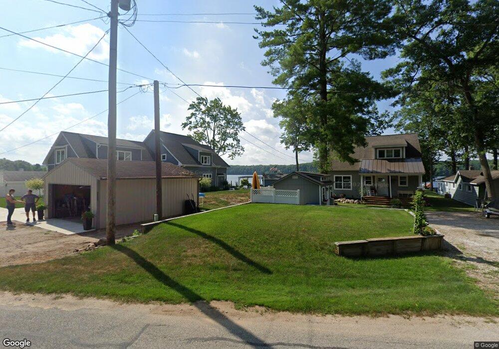
19599 Park Rd Big Rapids, MI 49307
Estimated Value: $474,000 - $729,000
2
Beds
1
Bath
1,800
Sq Ft
$348/Sq Ft
Est. Value
About This Home
This home is located at 19599 Park Rd, Big Rapids, MI 49307 and is currently estimated at $625,803, approximately $347 per square foot. 19599 Park Rd is a home located in Mecosta County with nearby schools including Morley Stanwood Elementary School, Morley Stanwood Middle School, and Morley Stanwood High School.
Ownership History
Date
Name
Owned For
Owner Type
Purchase Details
Closed on
Oct 31, 2017
Sold by
Spas Mark A and Spas Jodie L
Bought by
Cope David and Quinlan Mary
Current Estimated Value
Home Financials for this Owner
Home Financials are based on the most recent Mortgage that was taken out on this home.
Original Mortgage
$175,750
Outstanding Balance
$147,192
Interest Rate
3.83%
Mortgage Type
New Conventional
Estimated Equity
$478,611
Purchase Details
Closed on
Jul 31, 2014
Sold by
Speas Mark and Speas Jodie
Bought by
Ensing Steven and Ensing Karen
Purchase Details
Closed on
May 14, 2010
Sold by
Schroeder Roy and Schroeder Letha J
Bought by
Speas Mark A and Speas Jodie L
Purchase Details
Closed on
Sep 1, 2004
Sold by
Jackson James R and Jackson Amy M
Bought by
The Roy & Letha J Schroeder Joint Living
Create a Home Valuation Report for This Property
The Home Valuation Report is an in-depth analysis detailing your home's value as well as a comparison with similar homes in the area
Purchase History
| Date | Buyer | Sale Price | Title Company |
|---|---|---|---|
| Cope David | $191,000 | None Available | |
| Ensing Steven | $4,077 | None Available | |
| Speas Mark A | $185,000 | Corporate Title Agency | |
| The Roy & Letha J Schroeder Joint Living | $145,000 | Lakeland Title |
Source: Public Records
Mortgage History
| Date | Status | Borrower | Loan Amount |
|---|---|---|---|
| Open | Cope David | $175,750 |
Source: Public Records
Tax History
| Year | Tax Paid | Tax Assessment Tax Assessment Total Assessment is a certain percentage of the fair market value that is determined by local assessors to be the total taxable value of land and additions on the property. | Land | Improvement |
|---|---|---|---|---|
| 2025 | $5,807 | $368,600 | $0 | $0 |
| 2024 | -- | $346,100 | $0 | $0 |
| 2023 | -- | $258,300 | $0 | $0 |
| 2022 | $0 | $224,700 | $0 | $0 |
Source: Public Records
Map
Nearby Homes
- 11137 192nd Ave
- 19768 Lincoln Rd
- 19117 Joslin Cir
- 19070 Joslin Cir
- 11621 Riverside Dr
- 19077 12 Mile Rd
- 10765 Northland Dr
- 18685 Kreig Dr
- 11285 Northland Dr
- 12260 183rd Ave
- 13692 Northland Dr
- 9014 185th Ave
- Parcel 1 8 Mile Rd
- 8 Mile Rd
- 19400 14 Mile Rd
- 10 1st St
- 99139913 Unit Santa Fe Trail
- 13100 220th Ave
- Lot 15 Executive Dr
- Lot 14 Executive Dr
- 19533 Park Rd
- 19617 Park Rd
- 19521 Park Rd
- 19561 Park Rd
- 19592 Park Rd
- 19636 Park Rd
- 19496 Park Rd
- 19572 Park Rd
- 19642 Park Rd
- 19695 Heights Circle Dr
- 19449 Park Rd
- 19509 Park Rd
- 19445 Park Rd
- 10816 Heights Circle Dr
- 19569 Park Rd
- 19611 Park Rd
- 19652 Heights Circle Dr
- 19643 Heights Circle Dr
- 19721 Heights Circle Dr
- 19765 Park Rd
Your Personal Tour Guide
Ask me questions while you tour the home.