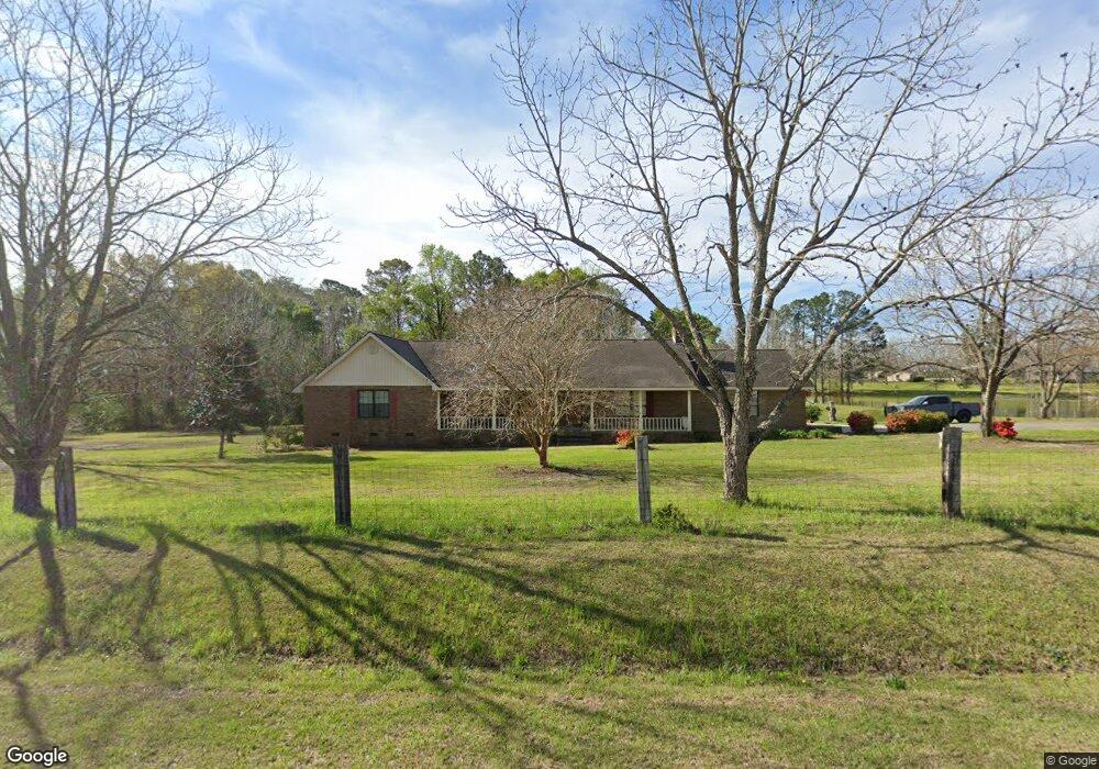
196 Airport Rd Fitzgerald, GA 31750
Estimated Value: $203,000 - $217,000
5
Beds
3
Baths
1,568
Sq Ft
$133/Sq Ft
Est. Value
About This Home
This home is located at 196 Airport Rd, Fitzgerald, GA 31750 and is currently estimated at $208,556, approximately $133 per square foot. 196 Airport Rd is a home with nearby schools including Irwin County Elementary School, Irwin County Middle School, and Irwin County High School.
Ownership History
Date
Name
Owned For
Owner Type
Purchase Details
Closed on
Oct 13, 2009
Sold by
Biggers Keefe Allen
Bought by
Clark Charles A and Clark Kristie Katherine
Current Estimated Value
Purchase Details
Closed on
Mar 9, 1992
Bought by
Clark James A
Create a Home Valuation Report for This Property
The Home Valuation Report is an in-depth analysis detailing your home's value as well as a comparison with similar homes in the area
Home Values in the Area
Average Home Value in this Area
Purchase History
| Date | Buyer | Sale Price | Title Company |
|---|---|---|---|
| Clark Charles A | $83,000 | -- | |
| Clark James A | -- | -- |
Source: Public Records
Tax History Compared to Growth
Tax History
| Year | Tax Paid | Tax Assessment Tax Assessment Total Assessment is a certain percentage of the fair market value that is determined by local assessors to be the total taxable value of land and additions on the property. | Land | Improvement |
|---|---|---|---|---|
| 2024 | $1,702 | $56,045 | $1,600 | $54,445 |
| 2023 | $1,702 | $56,045 | $1,600 | $54,445 |
| 2022 | $1,702 | $56,045 | $1,600 | $54,445 |
| 2021 | $1,702 | $56,045 | $1,600 | $54,445 |
| 2020 | $1,702 | $56,045 | $1,600 | $54,445 |
| 2019 | $1,702 | $56,045 | $1,600 | $54,445 |
| 2018 | $1,610 | $56,045 | $1,600 | $54,445 |
| 2017 | $1,610 | $56,045 | $1,600 | $54,445 |
| 2016 | $1,568 | $56,045 | $1,600 | $54,445 |
| 2015 | -- | $56,045 | $1,600 | $54,445 |
| 2014 | -- | $56,045 | $1,600 | $54,445 |
| 2013 | -- | $56,044 | $1,600 | $54,444 |
Source: Public Records
Map
Nearby Homes
- 221 Gettysburg Rd
- 243 Perry House Rd
- 107 Riverview Loop
- 114 Creole Ct
- 112 Manor Dr
- 141 Wenona Way
- 121 Benjamin H Hill Dr SW Unit UNK
- 178 Burnside Rd
- TRACT 7 Benjamin H Hill Dr
- 217 Ocilla Hwy Unit UNK
- 175 Burnside Rd
- 225 Meadowlark Ln
- 117 Meadowlark Ln
- 650 Benjamin H Hill Dr
- 152 David Dr
- 118 Bulldog Dr
- 125 Pine Needle Rd
- 1171 W Roanoke Dr Ext None
- 602 W Jessamine St
- 650 Benjamin H Hill Dr W