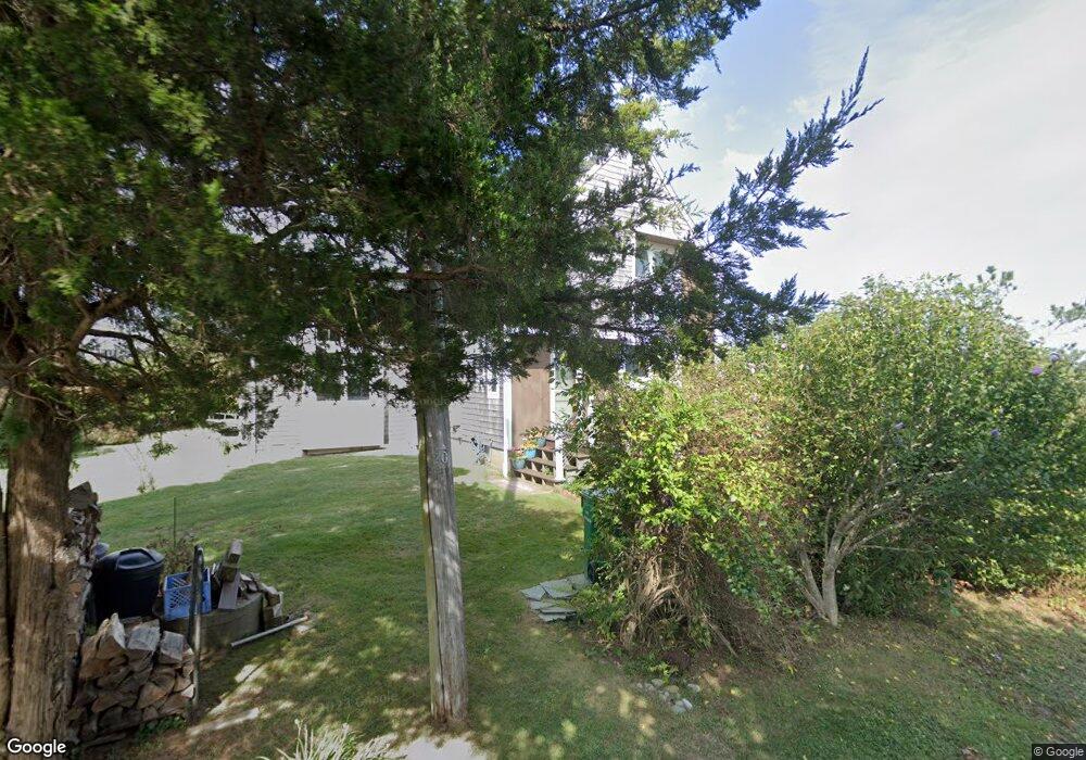
196 Atlantic Ave Wakefield, RI 02879
Estimated Value: $1,277,000 - $2,135,000
2
Beds
2
Baths
1,749
Sq Ft
$903/Sq Ft
Est. Value
About This Home
This home is located at 196 Atlantic Ave, Wakefield, RI 02879 and is currently estimated at $1,580,048, approximately $903 per square foot. 196 Atlantic Ave is a home located in Washington County with nearby schools including South Kingstown High School.
Ownership History
Date
Name
Owned For
Owner Type
Purchase Details
Closed on
Aug 4, 2016
Sold by
Demarco Anthony F and Demarco Valerie E
Bought by
Leval Lisa S
Current Estimated Value
Purchase Details
Closed on
Jul 28, 2014
Sold by
Demarco Anthony F
Bought by
Demarco Anthony F and Demarco Valerie E
Create a Home Valuation Report for This Property
The Home Valuation Report is an in-depth analysis detailing your home's value as well as a comparison with similar homes in the area
Home Values in the Area
Average Home Value in this Area
Purchase History
| Date | Buyer | Sale Price | Title Company |
|---|---|---|---|
| Leval Lisa S | $55,000 | -- | |
| Demarco Anthony F | -- | -- | |
| Leval Lisa S | $55,000 | -- | |
| Demarco Anthony F | -- | -- |
Source: Public Records
Mortgage History
| Date | Status | Borrower | Loan Amount |
|---|---|---|---|
| Previous Owner | Demarco Anthony F | $114,000 | |
| Previous Owner | Demarco Anthony F | $131,500 | |
| Previous Owner | Demarco Anthony F | $52,000 |
Source: Public Records
Tax History
| Year | Tax Paid | Tax Assessment Tax Assessment Total Assessment is a certain percentage of the fair market value that is determined by local assessors to be the total taxable value of land and additions on the property. | Land | Improvement |
|---|---|---|---|---|
| 2025 | $10,573 | $1,182,700 | $880,500 | $302,200 |
| 2024 | $11,314 | $1,023,900 | $739,500 | $284,400 |
| 2023 | $11,314 | $1,023,900 | $739,500 | $284,400 |
| 2022 | $11,212 | $1,023,900 | $739,500 | $284,400 |
| 2021 | $10,975 | $759,500 | $602,500 | $157,000 |
| 2020 | $10,975 | $759,500 | $602,500 | $157,000 |
| 2019 | $10,975 | $759,500 | $602,500 | $157,000 |
| 2018 | $9,576 | $610,700 | $481,900 | $128,800 |
| 2017 | $9,350 | $610,700 | $481,900 | $128,800 |
| 2016 | $9,563 | $633,700 | $504,900 | $128,800 |
| 2015 | $9,422 | $607,100 | $484,100 | $123,000 |
| 2014 | $9,398 | $607,100 | $484,100 | $123,000 |
Source: Public Records
Map
Nearby Homes
- 210 Washington St
- 854 Matunuck Beach #215 Rd
- 27 Holden Rd
- 975 Matunuck Beach Rd
- 240 Cards Pond Rd
- 14 E Pointe Ct Unit 14
- 691 Succotash Rd
- 6 MacAlder St
- 299 Succotash Rd
- 1140 Succotash Rd
- 43 Wild Rose Ct
- 2321 Post Rd
- 25 Scallop Shell Rd
- 380 Camp Fuller Rd
- 17 Goose Island Rd
- 0 Stanton Ave
- 11 Wendy Ln
- 120 Chestnut Ave
- 0 Hemlock Ave
- 0 Point Judith Rd
- 186 Atlantic Ave
- 195 Atlantic Ave
- 180 Atlantic Ave
- 179 Park Ave
- 142 Prospect Rd
- 140 Prospect Rd
- 175 Atlantic Ave
- 174 Atlantic Ave
- 150 Prospect Rd
- 11 Cove St Unit SPARTINA
- 7 Cove St Unit SPARTINA
- 191 Lake Ave
- 191 Lake Ave Unit A
- 138 Prospect Rd
- 0 Cove St
- 159 Atlantic Ave
- 132 Prospect Rd
- 139 Prospect Rd
- 164 Community Dr
- 126 Prospect Rd
Your Personal Tour Guide
Ask me questions while you tour the home.