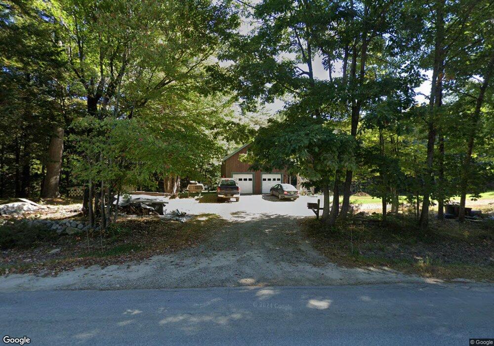
196 Dougherty Rd New Gloucester, ME 04260
Estimated Value: $439,639 - $590,000
3
Beds
1
Bath
816
Sq Ft
$647/Sq Ft
Est. Value
About This Home
This home is located at 196 Dougherty Rd, New Gloucester, ME 04260 and is currently estimated at $527,546, approximately $646 per square foot. 196 Dougherty Rd is a home located in Cumberland County with nearby schools including Gray-New Gloucester High School.
Create a Home Valuation Report for This Property
The Home Valuation Report is an in-depth analysis detailing your home's value as well as a comparison with similar homes in the area
Home Values in the Area
Average Home Value in this Area
Tax History
| Year | Tax Paid | Tax Assessment Tax Assessment Total Assessment is a certain percentage of the fair market value that is determined by local assessors to be the total taxable value of land and additions on the property. | Land | Improvement |
|---|---|---|---|---|
| 2025 | $3,623 | $234,173 | $119,326 | $114,847 |
| 2024 | $3,487 | $234,173 | $119,326 | $114,847 |
| 2023 | $3,346 | $234,173 | $119,326 | $114,847 |
| 2022 | $3,232 | $234,173 | $119,326 | $114,847 |
| 2021 | $3,232 | $234,173 | $119,326 | $114,847 |
| 2020 | $3,196 | $234,173 | $119,326 | $114,847 |
| 2019 | $2,969 | $175,700 | $82,100 | $93,600 |
| 2018 | $2,776 | $175,700 | $82,100 | $93,600 |
| 2017 | $2,741 | $175,700 | $82,100 | $93,600 |
| 2016 | $2,583 | $175,700 | $82,100 | $93,600 |
| 2015 | $2,574 | $175,700 | $82,100 | $93,600 |
| 2014 | $2,548 | $175,700 | $82,100 | $93,600 |
| 2013 | $2,363 | $175,700 | $82,100 | $93,600 |
Source: Public Records
Map
Nearby Homes
- 244 Allen Rd
- 026-01 Dow Ln
- 112 Leighton Rd
- 92 Town Farm Rd
- 84 Town Farm Rd
- 0 New Gloucester Rd
- 27 Bull Run
- 26 Hemlock Ln
- 1523 North Rd
- 850 Lawrence Rd
- 238 Hallowell Rd
- 33 Mayall Rd
- 508 Mountfort Rd
- 487 Gray Rd
- 0 Mayall
- 1 Blackthorne Ln
- 155 & 151 Gloucester Hill Rd
- 3 First Mill Dr
- 38 Blackthorne Ln
- 24 Hazel Ln Unit 24
Your Personal Tour Guide
Ask me questions while you tour the home.