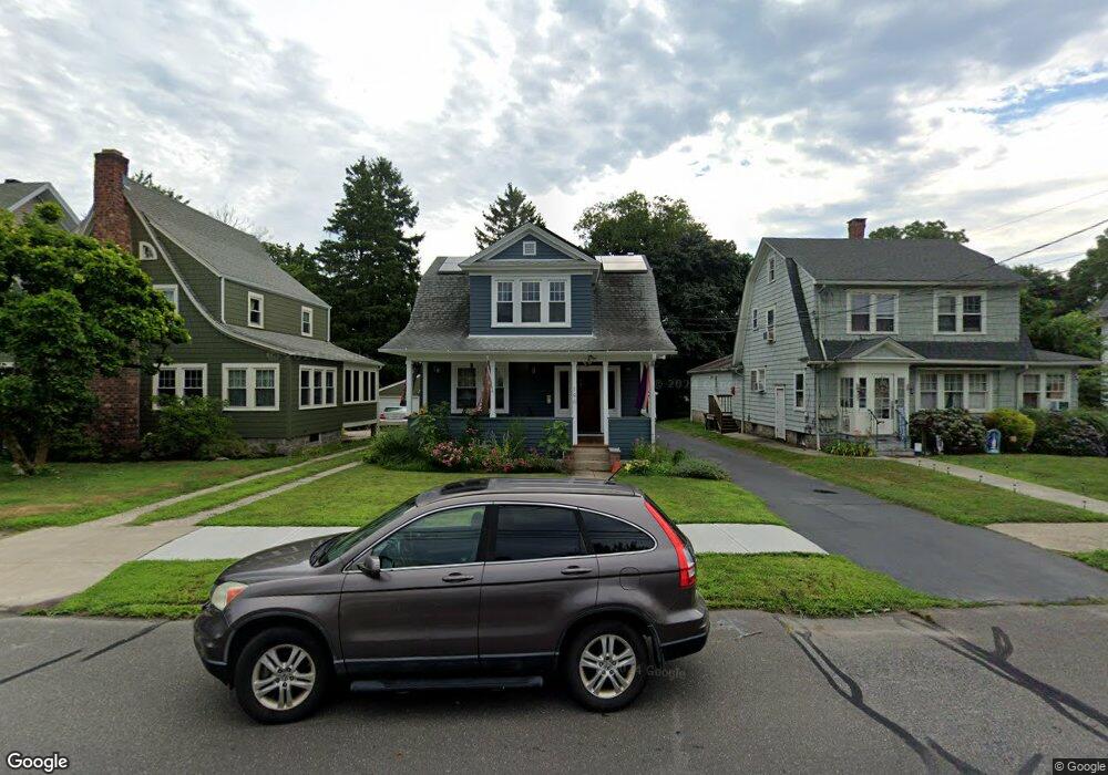
196 Ellsworth St Bridgeport, CT 06605
Black Rock NeighborhoodEstimated Value: $433,000 - $596,000
3
Beds
3
Baths
1,454
Sq Ft
$364/Sq Ft
Est. Value
About This Home
This home is located at 196 Ellsworth St, Bridgeport, CT 06605 and is currently estimated at $529,746, approximately $364 per square foot. 196 Ellsworth St is a home located in Fairfield County with nearby schools including Bassick High School, Park City Prep Charter School, and St. Ann Campus - Catholic Academy of Bridgeport.
Ownership History
Date
Name
Owned For
Owner Type
Purchase Details
Closed on
Apr 2, 2002
Sold by
Puskas Peter J
Bought by
Rolleri Andrew and Rolleri Mary Ellen
Current Estimated Value
Purchase Details
Closed on
Dec 9, 1996
Sold by
Mccadden William M
Bought by
Puskas Peter J
Create a Home Valuation Report for This Property
The Home Valuation Report is an in-depth analysis detailing your home's value as well as a comparison with similar homes in the area
Home Values in the Area
Average Home Value in this Area
Purchase History
| Date | Buyer | Sale Price | Title Company |
|---|---|---|---|
| Rolleri Andrew | $209,000 | -- | |
| Rolleri Andrew | $209,000 | -- | |
| Puskas Peter J | $98,000 | -- | |
| Puskas Peter J | $98,000 | -- |
Source: Public Records
Mortgage History
| Date | Status | Borrower | Loan Amount |
|---|---|---|---|
| Closed | Puskas Peter J | $220,000 | |
| Closed | Puskas Peter J | $250,000 | |
| Closed | Puskas Peter J | $25,000 |
Source: Public Records
Tax History Compared to Growth
Tax History
| Year | Tax Paid | Tax Assessment Tax Assessment Total Assessment is a certain percentage of the fair market value that is determined by local assessors to be the total taxable value of land and additions on the property. | Land | Improvement |
|---|---|---|---|---|
| 2025 | $10,009 | $230,346 | $147,046 | $83,300 |
| 2024 | $10,009 | $230,346 | $147,046 | $83,300 |
| 2023 | $10,009 | $230,346 | $147,046 | $83,300 |
| 2022 | $10,009 | $230,346 | $147,046 | $83,300 |
| 2021 | $10,009 | $230,346 | $147,046 | $83,300 |
| 2020 | $10,239 | $189,650 | $120,800 | $68,850 |
| 2019 | $10,239 | $189,650 | $120,800 | $68,850 |
| 2018 | $10,311 | $189,650 | $120,800 | $68,850 |
| 2017 | $10,311 | $189,650 | $120,800 | $68,850 |
| 2016 | $10,311 | $189,650 | $120,800 | $68,850 |
| 2015 | $9,234 | $218,820 | $127,980 | $90,840 |
| 2014 | $9,234 | $218,820 | $127,980 | $90,840 |
Source: Public Records
Map
Nearby Homes
- 20 Haddon St Unit 5
- 317 Brewster St
- 26 Rowsley St Unit 3
- 37 Rowsley St Unit 6
- 554 Brewster St Unit 4
- 75 Homestead Ave Unit 77
- 51 Princeton St
- 39 Jetland Place Unit 41
- 166 Alfred St
- 167 Scofield Ave
- 855 Brewster St Unit 857
- 165 Bennett St
- 82 Waldorf Ave
- 105 Fox St Unit 107
- 25 Whittier St
- 31 Whittier St
- 135 Whittier St
- 95 Bedford Ave
- 118 Berwick Ave
- 130 Brentwood Ave
- 186 Ellsworth St
- 186 Ellsworth St Unit FRONT
- 186 Ellsworth St Unit REAR
- 212 Ellsworth St Unit 214
- 204 Ellsworth St
- 160 Ellsworth St
- 158 Ellsworth St Unit 160
- 162 Ellsworth St
- 150 Ellsworth St
- 150 Ellsworth St Unit 1st f
- 213 Ellsworth St
- 39 Harbor Ave
- 238 Ellsworth St
- 228 Ellsworth St
- 220 Ellsworth St
- 33 Hackley St
- 229 Ellsworth St
- 29 Harbor Ave
- 191 Ellsworth St
- 189 Ellsworth St