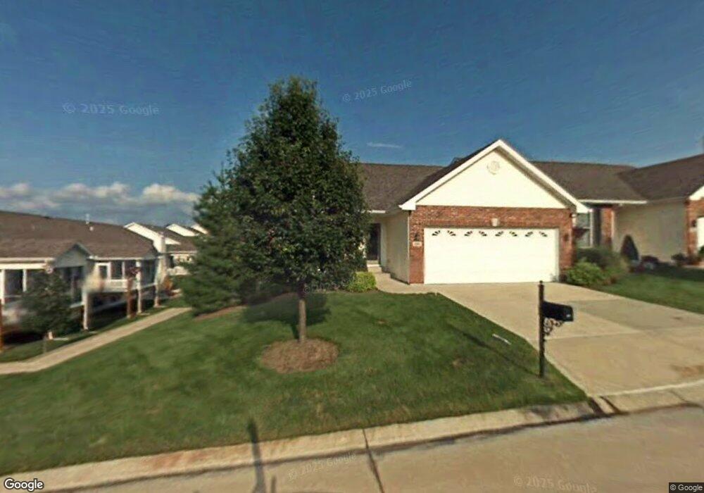
196 Fairgate Dr Saint Peters, MO 63376
Estimated Value: $329,000 - $347,000
3
Beds
3
Baths
1,543
Sq Ft
$220/Sq Ft
Est. Value
About This Home
This home is located at 196 Fairgate Dr, Saint Peters, MO 63376 and is currently estimated at $339,538, approximately $220 per square foot. 196 Fairgate Dr is a home located in St. Charles County with nearby schools including Progress South Elementary School, Fort Zumwalt South Middle School, and Fort Zumwalt South High School.
Ownership History
Date
Name
Owned For
Owner Type
Purchase Details
Closed on
Oct 14, 2011
Sold by
Buckley Ronald J and Buckley Kathleen N
Bought by
Sell Carolyn A and Sell Harold J
Current Estimated Value
Purchase Details
Closed on
May 14, 2004
Sold by
Tr Hughes Inc
Bought by
Buckley Ronald J and Buckley Kathleen N
Home Financials for this Owner
Home Financials are based on the most recent Mortgage that was taken out on this home.
Original Mortgage
$170,000
Interest Rate
5.93%
Mortgage Type
Purchase Money Mortgage
Create a Home Valuation Report for This Property
The Home Valuation Report is an in-depth analysis detailing your home's value as well as a comparison with similar homes in the area
Home Values in the Area
Average Home Value in this Area
Purchase History
| Date | Buyer | Sale Price | Title Company |
|---|---|---|---|
| Sell Carolyn A | $195,000 | Ust | |
| Buckley Ronald J | -- | Atc |
Source: Public Records
Mortgage History
| Date | Status | Borrower | Loan Amount |
|---|---|---|---|
| Previous Owner | Buckley Ronald J | $170,000 |
Source: Public Records
Tax History
| Year | Tax Paid | Tax Assessment Tax Assessment Total Assessment is a certain percentage of the fair market value that is determined by local assessors to be the total taxable value of land and additions on the property. | Land | Improvement |
|---|---|---|---|---|
| 2025 | $3,840 | $60,841 | -- | -- |
| 2023 | $3,842 | $58,043 | $0 | $0 |
| 2022 | $3,440 | $48,318 | $0 | $0 |
| 2021 | $3,442 | $48,318 | $0 | $0 |
| 2020 | $3,185 | $43,298 | $0 | $0 |
| 2019 | $3,193 | $43,298 | $0 | $0 |
| 2018 | $2,888 | $37,366 | $0 | $0 |
| 2017 | $2,849 | $37,366 | $0 | $0 |
| 2016 | $2,752 | $35,947 | $0 | $0 |
| 2015 | $2,559 | $35,947 | $0 | $0 |
| 2014 | $2,523 | $34,864 | $0 | $0 |
Source: Public Records
Map
Nearby Homes
- 83 Foxgate Ct
- 44 Pheasant Ring Dr
- 14 Sea Pines Ct
- 7 Butternut Stage Ct
- 2628 Breckenridge Cir
- 367 Shamrock St
- 361 Shamrock St
- 134 Huntington Crossing Dr
- 93 Arapahoe Basin Ct
- 2662 Breckenridge Cir
- 7 Shetland Pony Ct
- 15 Canter Ct
- 39 Huntsman Trail
- 217 Roaring River Dr
- 3 Royallbend Ct
- 2726 Brook Meadow Ln
- 140 Weatherby Landing Dr
- 118 Arabian Path
- 2325 Sundance Dr
- 366 Strawberry Grove Dr
- 198 Fairgate Dr
- 198 Fairgate Dr Unit 72B
- 65 Huntgate Dr
- 200 Fairgate Dr
- 200 Fairgate Dr Unit 71A
- 63 Huntgate Dr
- 61 Huntgate Dr
- 191 Fairgate Dr
- 202 Fairgate Dr
- 193 Fairgate Dr
- 59 Huntgate Dr
- 195 Fairgate Dr
- 201 Fairgate Dr
- 189 Fairgate Dr
- 57 Huntgate Dr
- 203 Fairgate Dr
- 64 Huntgate Dr
- 1 Arborgate Dr
- 62 Huntgate Dr
- 3 Arborgate Dr
Your Personal Tour Guide
Ask me questions while you tour the home.