Estimated Value: $257,769 - $392,000
Studio
--
Bath
968
Sq Ft
$332/Sq Ft
Est. Value
About This Home
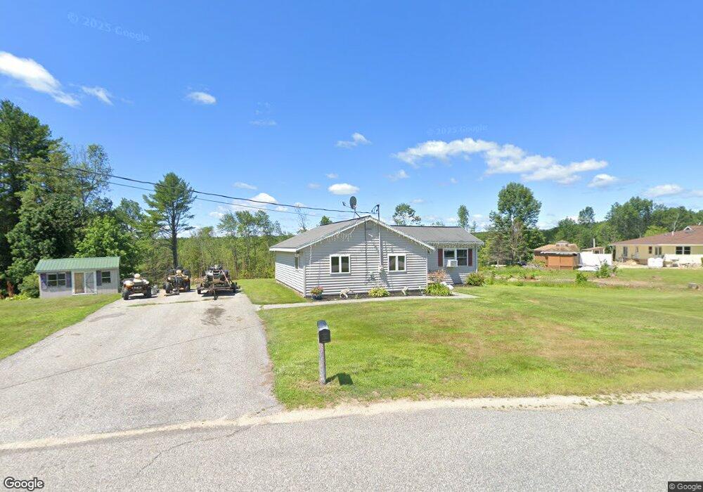
This home is located at 196 Garfield Rd, Minot, ME 04258 and is currently estimated at $321,192, approximately $331 per square foot. 196 Garfield Rd is a home located in Androscoggin County with nearby schools including Minot Consolidated School.
Ownership History
Date
Name
Owned For
Owner Type
Purchase Details
Closed on
Jun 29, 2015
Sold by
Mosher Matthew A
Bought by
Fearon Frank
Current Estimated Value
Home Financials for this Owner
Home Financials are based on the most recent Mortgage that was taken out on this home.
Original Mortgage
$106,122
Interest Rate
3.84%
Mortgage Type
New Conventional
Create a Home Valuation Report for This Property
The Home Valuation Report is an in-depth analysis detailing your home's value as well as a comparison with similar homes in the area
Home Values in the Area
Average Home Value in this Area
Purchase History
| Date | Buyer | Sale Price | Title Company |
|---|---|---|---|
| Fearon Frank | -- | -- |
Source: Public Records
Mortgage History
| Date | Status | Borrower | Loan Amount |
|---|---|---|---|
| Closed | Fearon Frank | $106,122 |
Source: Public Records
Tax History
| Year | Tax Paid | Tax Assessment Tax Assessment Total Assessment is a certain percentage of the fair market value that is determined by local assessors to be the total taxable value of land and additions on the property. | Land | Improvement |
|---|---|---|---|---|
| 2025 | $2,031 | $175,887 | $74,330 | $101,557 |
| 2024 | $1,961 | $175,887 | $74,330 | $101,557 |
| 2023 | $1,759 | $175,887 | $74,330 | $101,557 |
| 2022 | $1,732 | $175,887 | $74,330 | $101,557 |
| 2021 | $1,664 | $100,531 | $39,706 | $60,825 |
| 2020 | $1,664 | $100,531 | $39,706 | $60,825 |
| 2019 | $1,593 | $100,531 | $39,706 | $60,825 |
| 2018 | $1,593 | $100,531 | $39,706 | $60,825 |
| 2017 | $1,578 | $100,531 | $39,706 | $60,825 |
| 2016 | $1,548 | $100,531 | $39,706 | $60,825 |
| 2015 | $1,568 | $100,531 | $39,706 | $60,825 |
| 2014 | $1,508 | $100,531 | $39,706 | $60,825 |
Source: Public Records
Map
Nearby Homes
- 355 Woodman Hill Rd
- 17 Lower Rd
- 85 Taywood Rd
- Lot 14C Mechanic Falls Rd
- 17 Walker Rd
- 232 Grange Ave
- 1315 Minot Ave
- 668 Fletcher Rd
- 50 Rubellite Ln Unit 60
- 351 W Auburn Rd
- 444 W Auburn Rd
- 15 Sterling Rd
- 629 W Auburn Rd
- lot 11 Minot Ave
- 339 Harris Hill Rd
- 726 W Auburn Rd
- 41 Elm Street Extension
- 9 Raspberry Hill Rd
- 78 Star Dr
- 867 Minot Ave
- 204 Garfield Rd
- 222 Garfield Rd
- 189 Garfield Rd
- 227 Garfield Rd
- 165 Garfield Rd
- 233 Garfield Rd
- 177 Garfield Rd
- 157 Garfield Rd
- 168 Garfield Rd
- 242 Garfield Rd
- 251 Garfield Rd
- 254 Garfield Rd
- 254 Garfield Rd
- 262 Garfield Rd
- 212 Center Minot Hill Rd
- 194 Center Minot Hill Rd
- 66 Hillside Ave
- 228 Center Minot Hill Rd
- 67 Hillside Ave
- 128 Center Minot Hill Rd
Your Personal Tour Guide
Ask me questions while you tour the home.