196 Gun Point Rd Harpswell, ME 04079
Harpswell NeighborhoodEstimated Value: $755,016 - $1,800,000
3
Beds
2
Baths
2,794
Sq Ft
$439/Sq Ft
Est. Value
About This Home
This home is located at 196 Gun Point Rd, Harpswell, ME 04079 and is currently estimated at $1,227,254, approximately $439 per square foot. 196 Gun Point Rd is a home located in Cumberland County with nearby schools including Mt Ararat High School.
Ownership History
Date
Name
Owned For
Owner Type
Purchase Details
Closed on
Sep 7, 2011
Sold by
Dostie Jacques A
Bought by
Dostie Jacques A and Dostie Diane R
Current Estimated Value
Purchase Details
Closed on
Mar 23, 2009
Sold by
Dostie Daniel G and Dostie Paul J
Bought by
Dostie Jacques A
Create a Home Valuation Report for This Property
The Home Valuation Report is an in-depth analysis detailing your home's value as well as a comparison with similar homes in the area
Home Values in the Area
Average Home Value in this Area
Purchase History
| Date | Buyer | Sale Price | Title Company |
|---|---|---|---|
| Dostie Jacques A | -- | -- | |
| Dostie Jacques A | -- | -- |
Source: Public Records
Tax History Compared to Growth
Tax History
| Year | Tax Paid | Tax Assessment Tax Assessment Total Assessment is a certain percentage of the fair market value that is determined by local assessors to be the total taxable value of land and additions on the property. | Land | Improvement |
|---|---|---|---|---|
| 2024 | $3,560 | $559,800 | $50,700 | $509,100 |
| 2023 | $3,106 | $509,100 | $50,700 | $458,400 |
| 2022 | $2,837 | $480,800 | $50,700 | $430,100 |
| 2021 | $2,316 | $342,600 | $44,100 | $298,500 |
| 2020 | $2,309 | $342,600 | $44,100 | $298,500 |
| 2019 | $2,295 | $342,600 | $44,100 | $298,500 |
| 2018 | $2,220 | $342,600 | $44,100 | $298,500 |
| 2017 | $2,213 | $342,600 | $44,100 | $298,500 |
| 2016 | $2,193 | $342,600 | $44,100 | $298,500 |
| 2015 | $2,138 | $342,600 | $44,100 | $298,500 |
| 2013 | $1,980 | $342,600 | $44,100 | $298,500 |
Source: Public Records
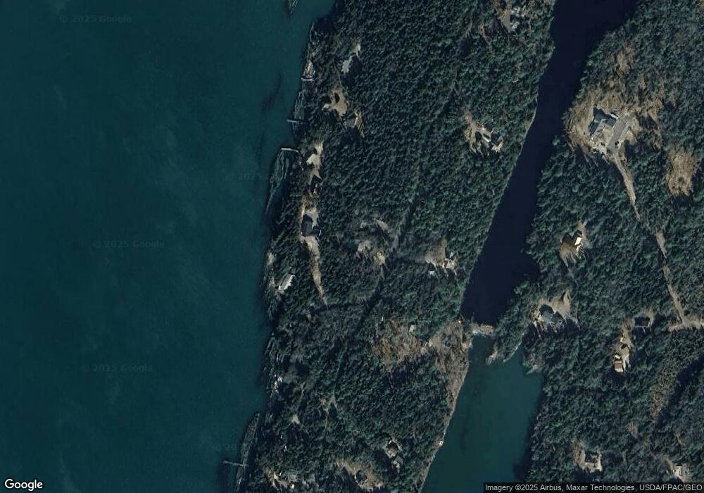
Map
Nearby Homes
- lot C Long Point Rd
- 20 Long Point Island
- 0 Bayview Rd Unit 2 1632776
- 1689 Harpswell Islands Rd
- 87 Lowells Cove Rd
- Lot 2A Allen Point Rd
- Lot 2B Allen Point Rd
- 205 W Cundys Point
- 11 Orion Point Way
- 41 Spruce Brook Dr
- 1 Mallard Pond Rd
- Lot 129 Harpswell Neck Rd
- 136 Bethel Point Rd
- 943 Cundys Harbor Rd
- 30 Osbourne Row
- 37 & 38 S Dyers Cove Rd
- 10 Irene Ave
- 1450 Harpswell Neck Rd
- 16 Ash Point Rd Unit 16
- 18 Ash Point Rd
- 0 Gun Point Rd
- 7 Sea Spot Run
- 12 Parthas Ct
- 14 Parthas Ct
- 15 Sea Spot Run
- 193 Gun Point Rd
- 11 Parthas Ct
- 205 Gun Point Rd
- 216 Gun Point Rd
- 16 Sea Spot Run
- 165 Gun Point Rd
- 48 Sanctuary Rd
- 19 Ice Pond Ln
- 29 Ice Pond Ln
- 217 Gun Point Rd
- 118 Gun Point Rd
- 234 Gun Point Rd
- 11 Fiddlehead Way
- 32 Tuttle Dr
- 155 Gun Point Rd