196 Hawkins Way Dalton, GA 30721
Estimated Value: $177,417 - $256,000
--
Bed
--
Bath
1,568
Sq Ft
$131/Sq Ft
Est. Value
About This Home
This home is located at 196 Hawkins Way, Dalton, GA 30721 and is currently estimated at $205,104, approximately $130 per square foot. 196 Hawkins Way is a home with nearby schools including Valley Point Elementary School, Valley Point Middle School, and Southeast Whitfield County High School.
Ownership History
Date
Name
Owned For
Owner Type
Purchase Details
Closed on
Jul 23, 2020
Sold by
Reynolds Linda
Bought by
Reynolds Robert Bradley
Current Estimated Value
Purchase Details
Closed on
Apr 16, 2019
Sold by
Green Leslie
Bought by
Reynolds Linda B
Purchase Details
Closed on
May 17, 2007
Sold by
Not Provided
Bought by
Green Leslie and Green Dee
Purchase Details
Closed on
Dec 30, 2004
Sold by
Lee Billy D and Lee Jan M
Bought by
Green Leslie and Green Dee
Create a Home Valuation Report for This Property
The Home Valuation Report is an in-depth analysis detailing your home's value as well as a comparison with similar homes in the area
Home Values in the Area
Average Home Value in this Area
Purchase History
| Date | Buyer | Sale Price | Title Company |
|---|---|---|---|
| Reynolds Robert Bradley | -- | -- | |
| Reynolds Linda B | $65,000 | -- | |
| Green Leslie | -- | -- | |
| Green Leslie | $35,000 | -- |
Source: Public Records
Tax History Compared to Growth
Tax History
| Year | Tax Paid | Tax Assessment Tax Assessment Total Assessment is a certain percentage of the fair market value that is determined by local assessors to be the total taxable value of land and additions on the property. | Land | Improvement |
|---|---|---|---|---|
| 2024 | $129 | $52,849 | $5,817 | $47,032 |
| 2023 | $129 | $31,975 | $4,417 | $27,558 |
| 2022 | $377 | $26,414 | $3,878 | $22,536 |
| 2021 | $377 | $26,414 | $3,878 | $22,536 |
| 2020 | $521 | $26,414 | $3,878 | $22,536 |
| 2019 | $536 | $26,414 | $3,878 | $22,536 |
| 2018 | $519 | $25,764 | $3,228 | $22,536 |
| 2017 | $206 | $22,745 | $3,228 | $19,517 |
| 2016 | $257 | $15,770 | $3,228 | $12,542 |
| 2014 | $266 | $16,096 | $4,018 | $12,078 |
| 2013 | -- | $17,671 | $4,018 | $13,653 |
Source: Public Records
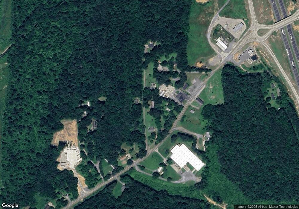
Map
Nearby Homes
- 0 Carbondale Rd SW Unit 129966
- 0 Carbondale Rd SW Unit 7574085
- 0 Carbondale Rd SW Unit 130445
- 0 Carbondale Rd SW Unit 1522370
- 0 Carbondale Rd SW Unit 10515867
- 0 Carbondale Rd SW Unit 129726
- 3737 S Dixie Rd
- 323 Tubman Way
- 213 Gwendolyn Lee Ln
- 116 Robin Hood Dr
- 112 Robin Hood Dr
- 122 Robin Hood Dr
- 4381 S Dixie Hwy
- 73 Acres S Dixie Hwy
- 402 W Nance Springs Rd
- 4888 Cline Rd
- 674 Eber Rd SE
- 282 Collington Cir
- 4280 Old Dixie Hwy SE
- 586 Collington Cir
- 210 Hawkins Way
- 234 Hawkins Way
- 256 Carbondale Rd SW
- 110 Hawkins Way
- 280 Carbondale Rd SW
- 171 Cavalier Way
- 166 Cavalier Way
- 304 Carbondale Rd SW
- 265 Carbondale Rd SW
- 321 Carbondale Rd SW
- 350 Carbondale Rd SW
- 0 Carbondale Rd SW Unit RTC2729011
- 0 Carbondale Rd SW Unit RTC2729680
- 0 Carbondale Rd SW Unit RTC2729676
- 0 Carbondale Rd SW Unit RTC2729017
- 0 Carbondale Rd SW Unit RTC2729013
- 0 Carbondale Rd SW Unit RTC2727235
- 0 Carbondale Rd SW Unit RTC2726811
- 0 Carbondale Rd SW Unit RTC2729012
- 0 Carbondale Rd SW Unit RTC2729690