196 Jems Riffle Rd Grants Pass, OR 97527
Redwood NeighborhoodEstimated Value: $1,167,888
3
Beds
3
Baths
3,514
Sq Ft
$332/Sq Ft
Est. Value
About This Home
This home is located at 196 Jems Riffle Rd, Grants Pass, OR 97527 and is currently estimated at $1,167,888, approximately $332 per square foot. 196 Jems Riffle Rd is a home located in Josephine County with nearby schools including Redwood Elementary School, South Middle School, and Grants Pass High School.
Ownership History
Date
Name
Owned For
Owner Type
Purchase Details
Closed on
Jun 11, 2024
Sold by
Masters Michael Derrick and Masters Michael D
Bought by
Masters Family Revocable Trust and Masters
Current Estimated Value
Purchase Details
Closed on
Nov 15, 2006
Sold by
Masters Michael D
Bought by
Masters Michael D and Masters Carol Ellen
Create a Home Valuation Report for This Property
The Home Valuation Report is an in-depth analysis detailing your home's value as well as a comparison with similar homes in the area
Home Values in the Area
Average Home Value in this Area
Purchase History
| Date | Buyer | Sale Price | Title Company |
|---|---|---|---|
| Masters Family Revocable Trust | -- | None Listed On Document | |
| Masters Michael D | -- | Accommodation |
Source: Public Records
Tax History Compared to Growth
Tax History
| Year | Tax Paid | Tax Assessment Tax Assessment Total Assessment is a certain percentage of the fair market value that is determined by local assessors to be the total taxable value of land and additions on the property. | Land | Improvement |
|---|---|---|---|---|
| 2025 | $6,580 | $833,210 | -- | -- |
| 2024 | $6,580 | $808,950 | -- | -- |
| 2023 | $5,614 | $785,390 | $0 | $0 |
| 2022 | $5,492 | $762,520 | -- | -- |
| 2021 | $5,148 | $740,320 | $0 | $0 |
| 2020 | $5,002 | $718,760 | $0 | $0 |
| 2019 | $4,860 | $697,830 | $0 | $0 |
| 2018 | $4,863 | $677,510 | $0 | $0 |
| 2017 | $4,821 | $657,780 | $0 | $0 |
| 2016 | $4,088 | $638,630 | $0 | $0 |
| 2015 | $3,941 | $620,030 | $0 | $0 |
| 2014 | $3,835 | $601,980 | $0 | $0 |
Source: Public Records
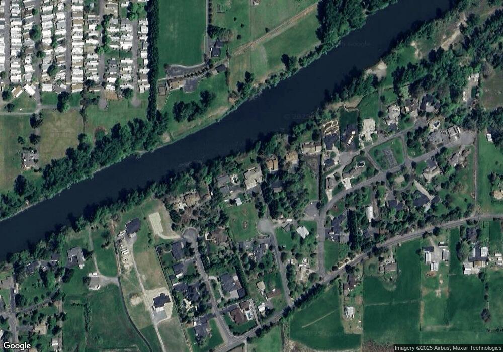
Map
Nearby Homes
- 333 Beechwood Dr
- 306 Sandlewood Dr
- 412 Teakwood Dr
- Lot 2 Gerald Place
- 3 Gerald Place Unit Lot 3
- 3597 Leonard Rd
- Lot 5 Gerald Place
- 4574 Lower River Rd
- 955 SW Buckmaster Dr
- 195 SW Quiet Water Ln
- 195 SW Rock Gulch Rd
- 4441 Upper River Rd
- 4189 Upper River Rd
- 2774 Tyee Ct
- 3313 Redwood Ave
- 2687 Sprinkle Way
- 1061 Rainwood Ln
- 1307 SW Sturgeon Ct
- 208 SW Blueberry Ln
- 973 SW Blackberry Ln
- 732 Solitude Ln
- 190 Jems Riffle Rd
- 720 Solitude Ln
- 563 Rogue Ridge Dr
- 585 Rogue Ridge Dr
- 716 Solitude Ln
- 754 Solitude Ln
- 585 Rogue Ridge
- 182 Jems Riffle Rd
- 3388 Rivercrest Dr
- 660 Solitude Ln
- 755 Solitude Ln
- 798 Solitude Ln
- 562 Rogue Ridge Dr
- 627 Rogue Ridge Dr
- 584 Rogue Ridge Dr
- 3362 Rivercrest Dr
- 3500 S River Rd
- 645 Solitude Ln
- 4377 Lower River Rd