196 Locust Ln Basking Ridge, NJ 07920
Estimated Value: $569,000 - $656,166
--
Bed
--
Bath
1,388
Sq Ft
$429/Sq Ft
Est. Value
About This Home
This home is located at 196 Locust Ln, Basking Ridge, NJ 07920 and is currently estimated at $594,792, approximately $428 per square foot. 196 Locust Ln is a home located in Somerset County with nearby schools including Liberty Corner Elementary School, William Annin Middle School, and Ridge High School.
Ownership History
Date
Name
Owned For
Owner Type
Purchase Details
Closed on
Nov 14, 2023
Sold by
King Amy
Bought by
Amy C King Trust and King
Current Estimated Value
Purchase Details
Closed on
Jun 21, 1994
Sold by
Cedar Development Corp
Bought by
King Amy
Home Financials for this Owner
Home Financials are based on the most recent Mortgage that was taken out on this home.
Original Mortgage
$100,000
Interest Rate
8.74%
Create a Home Valuation Report for This Property
The Home Valuation Report is an in-depth analysis detailing your home's value as well as a comparison with similar homes in the area
Home Values in the Area
Average Home Value in this Area
Purchase History
| Date | Buyer | Sale Price | Title Company |
|---|---|---|---|
| Amy C King Trust | -- | None Listed On Document | |
| King Amy | $159,900 | -- |
Source: Public Records
Mortgage History
| Date | Status | Borrower | Loan Amount |
|---|---|---|---|
| Previous Owner | King Amy | $100,000 |
Source: Public Records
Tax History Compared to Growth
Tax History
| Year | Tax Paid | Tax Assessment Tax Assessment Total Assessment is a certain percentage of the fair market value that is determined by local assessors to be the total taxable value of land and additions on the property. | Land | Improvement |
|---|---|---|---|---|
| 2025 | $7,973 | $505,500 | $175,000 | $330,500 |
| 2024 | $7,973 | $448,200 | $175,000 | $273,200 |
| 2023 | $8,085 | $428,700 | $175,000 | $253,700 |
| 2022 | $8,203 | $407,900 | $175,000 | $232,900 |
| 2021 | $7,787 | $369,800 | $175,000 | $194,800 |
| 2020 | $7,721 | $368,700 | $175,000 | $193,700 |
| 2019 | $7,510 | $369,200 | $175,000 | $194,200 |
| 2018 | $6,881 | $343,200 | $175,000 | $168,200 |
| 2017 | $6,814 | $342,600 | $175,000 | $167,600 |
| 2016 | $6,723 | $344,600 | $175,000 | $169,600 |
| 2015 | $6,461 | $337,200 | $170,000 | $167,200 |
| 2014 | $6,520 | $337,100 | $175,000 | $162,100 |
Source: Public Records
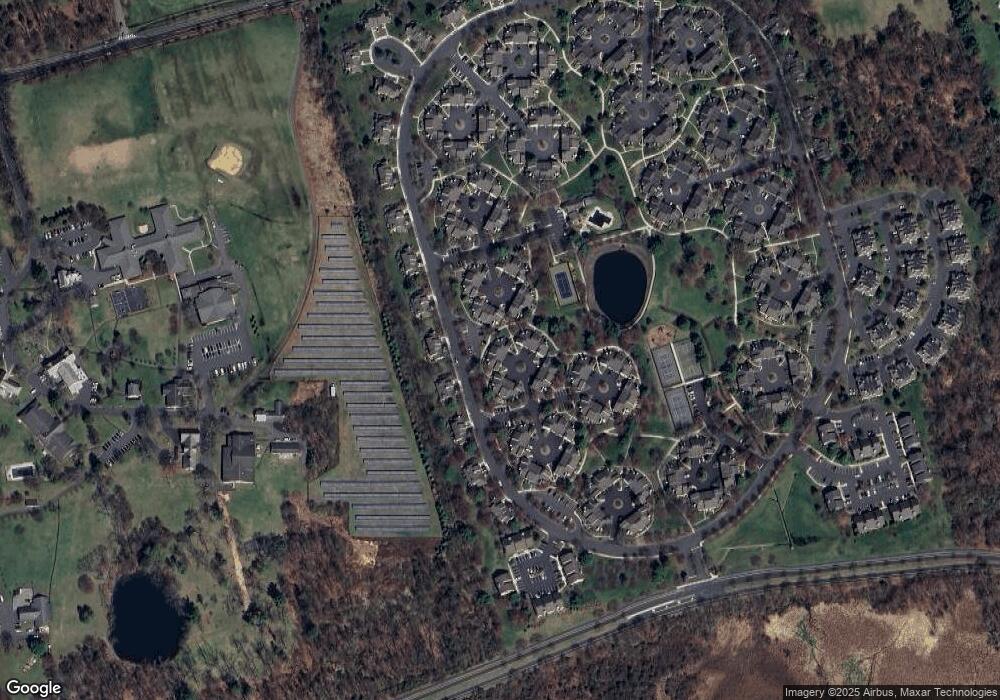
Map
Nearby Homes
- 7 Chestnut Ct
- 3601 Balsam Way
- 2704 Hemlock Place
- 47 Woodward Ln Ondo
- 242 Alexandria Way
- 147 Alexandria Way Ondo
- 155 Woodward Ln
- 417 Penns Way
- 243 Penns Way
- 68 Alexandria Way
- 341 Penns Way Unit D2
- 176 Potomac Dr
- 155 Irving Place
- 147 Potomac Dr Ondo
- 70 Baldwin Ct Unit D2
- 241 Potomac Dr Unit 5
- 28 Everson Place
- 116 Jamestown Rd Unit 4
- 28 Lafayette Ln
- 188 Jamestown Rd
- 195 Locust Ln
- 197 Locust Ln
- 194 Locust Ln
- 198 Locust Ln
- 209 Locust Ln
- 218 Arrowood Way Unit 15218
- 199 Locust Ln
- 208 Locust Ln
- 219 Arrowood Way
- 200 Locust Ln
- 207 Locust Ln
- 201 Locust Ln
- 206 Locust Ln
- 220 Arrowood Way
- 216 Arrowood Way
- 221 Arrowood Way
- 202 Locust Ln
- 205 Locust Ln
- 204 Locust Ln
- 203 Locust Ln