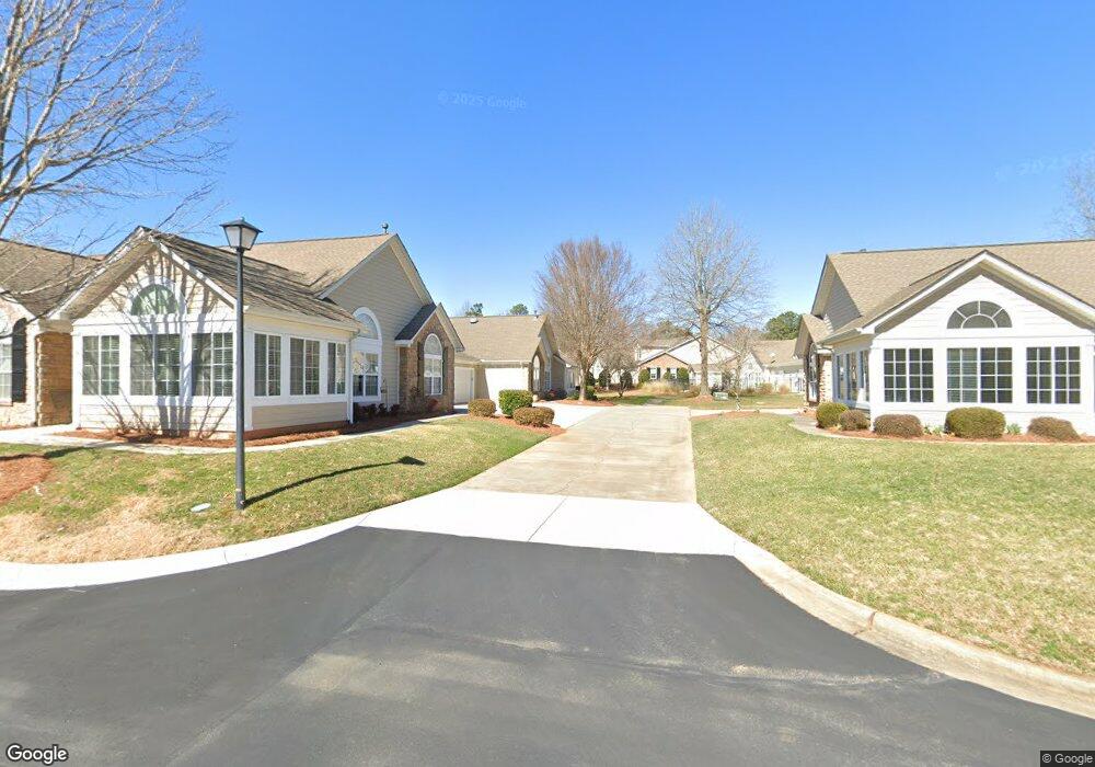
196 Lone Oak Cir Unit 10A Rock Hill, SC 29732
Estimated Value: $407,000 - $426,000
2
Beds
2
Baths
1,914
Sq Ft
$216/Sq Ft
Est. Value
About This Home
This home is located at 196 Lone Oak Cir Unit 10A, Rock Hill, SC 29732 and is currently estimated at $413,721, approximately $216 per square foot. 196 Lone Oak Cir Unit 10A is a home located in York County with nearby schools including Richmond Drive Elementary School, W.C. Sullivan Middle School, and South Pointe High School.
Ownership History
Date
Name
Owned For
Owner Type
Purchase Details
Closed on
Dec 29, 2021
Sold by
Knott Erin Health
Bought by
Johnson Robert M and Johnson Carol S
Current Estimated Value
Purchase Details
Closed on
Oct 18, 2019
Sold by
Karlson William J
Bought by
Knott Norma Lawson and Knott Erin Health
Purchase Details
Closed on
Nov 4, 2016
Sold by
Dodd Carol
Bought by
Karlson William J
Purchase Details
Closed on
Aug 23, 2013
Sold by
Ih30 Llc
Bought by
Dodd John and Dodd Carol
Create a Home Valuation Report for This Property
The Home Valuation Report is an in-depth analysis detailing your home's value as well as a comparison with similar homes in the area
Home Values in the Area
Average Home Value in this Area
Purchase History
| Date | Buyer | Sale Price | Title Company |
|---|---|---|---|
| Johnson Robert M | $330,000 | Michael Johnson Pc And Associa | |
| Knott Norma Lawson | $295,000 | None Available | |
| Karlson William J | $263,000 | None Available | |
| Dodd John | $265,415 | -- |
Source: Public Records
Tax History Compared to Growth
Tax History
| Year | Tax Paid | Tax Assessment Tax Assessment Total Assessment is a certain percentage of the fair market value that is determined by local assessors to be the total taxable value of land and additions on the property. | Land | Improvement |
|---|---|---|---|---|
| 2024 | $2,331 | $12,624 | $0 | $12,624 |
| 2023 | $2,777 | $12,624 | $0 | $12,624 |
| 2022 | $2,882 | $13,011 | $0 | $13,011 |
| 2021 | -- | $10,967 | $0 | $10,967 |
| 2020 | $6,809 | $16,451 | $0 | $0 |
| 2019 | $1,745 | $9,620 | $0 | $0 |
| 2018 | $2,200 | $9,620 | $0 | $0 |
| 2017 | $5,825 | $9,620 | $0 | $0 |
| 2016 | $1,663 | $9,620 | $0 | $0 |
| 2014 | -- | $9,620 | $0 | $9,620 |
| 2013 | -- | $0 | $0 | $0 |
Source: Public Records
Map
Nearby Homes
- 248 Lone Oak Cir
- 728 Herlong Ave
- 420 Bly St
- 1545 Granville Rd
- 1505 Clarendon Place
- 651 Melville Dr
- Garland Plan at Allston
- Gable Plan at Allston
- 310 Ginsberg Rd
- 306 Ginsberg Rd
- 302 Ginsberg Rd
- 448 Berryman Rd
- 405 Jenny Skip Ln
- 832 Bridgewood Dr
- 1981 Hamptonwood Rd
- 740 Tavern Ct Unit 7
- 854 Hillcroft Place
- 606 Clouds Way
- 707 Knollwood Ct
- 721 Summerwood Dr
- 196 Lone Oak Cir
- 192 Lone Oak Cir
- 188 Lone Oak Cir
- 184 Lone Oak Cir
- 745 Pinebough Ln
- 180 Lone Oak Cir
- 204 Lone Oak Cir
- 200 Lone Oak Cir
- 757 Pinebough Ln
- 172 Lone Oak Cir
- 176 Lone Oak Cir
- 168 Lone Oak Cir
- 140 Lone Oak Cir
- 737 Pinebough Ln
- 183 Lone Oak Cir Unit 183
- 183 Lone Oak Cir
- 179 Lone Oak Cir
- 160 Lone Oak Cir
- 729 Pinebough Ln
- 152 Lone Oak Cir