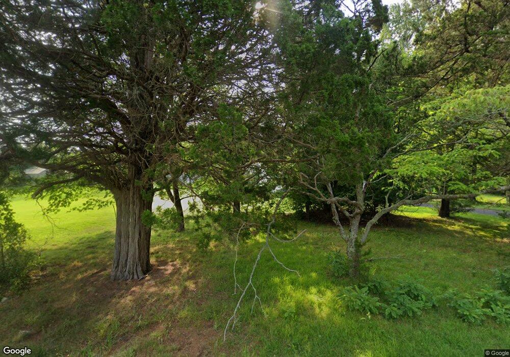
196 Long Swamp Rd Woodbine, NJ 08270
Estimated Value: $479,000 - $506,742
--
Bed
--
Bath
3,072
Sq Ft
$160/Sq Ft
Est. Value
About This Home
This home is located at 196 Long Swamp Rd, Woodbine, NJ 08270 and is currently estimated at $492,871, approximately $160 per square foot. 196 Long Swamp Rd is a home located in Cape May County with nearby schools including Dennis Township Primary School and Dennis Township Elementary/Middle School.
Ownership History
Date
Name
Owned For
Owner Type
Purchase Details
Closed on
Nov 11, 2005
Sold by
Estate Of Anna Donnell Bouchard and Wettstein Jo Ann
Bought by
Schwert Matthew and Schwert Shari
Current Estimated Value
Home Financials for this Owner
Home Financials are based on the most recent Mortgage that was taken out on this home.
Original Mortgage
$41,900
Outstanding Balance
$22,986
Interest Rate
6.06%
Mortgage Type
Credit Line Revolving
Estimated Equity
$469,885
Create a Home Valuation Report for This Property
The Home Valuation Report is an in-depth analysis detailing your home's value as well as a comparison with similar homes in the area
Home Values in the Area
Average Home Value in this Area
Purchase History
| Date | Buyer | Sale Price | Title Company |
|---|---|---|---|
| Schwert Matthew | $419,000 | The Title Company Of Jersey |
Source: Public Records
Mortgage History
| Date | Status | Borrower | Loan Amount |
|---|---|---|---|
| Open | Schwert Matthew | $41,900 | |
| Open | Schwert Matthew | $335,200 |
Source: Public Records
Tax History Compared to Growth
Tax History
| Year | Tax Paid | Tax Assessment Tax Assessment Total Assessment is a certain percentage of the fair market value that is determined by local assessors to be the total taxable value of land and additions on the property. | Land | Improvement |
|---|---|---|---|---|
| 2025 | $8,364 | $399,600 | $63,800 | $335,800 |
| 2024 | $8,364 | $399,600 | $63,800 | $335,800 |
| 2023 | $8,000 | $399,600 | $63,800 | $335,800 |
| 2022 | $7,804 | $399,600 | $63,800 | $335,800 |
| 2021 | $7,720 | $399,600 | $63,800 | $335,800 |
| 2020 | $7,696 | $399,600 | $63,800 | $335,800 |
| 2019 | $7,568 | $399,600 | $63,800 | $335,800 |
| 2018 | $7,265 | $399,600 | $63,800 | $335,800 |
| 2017 | $7,029 | $399,600 | $63,800 | $335,800 |
| 2016 | $8,169 | $478,300 | $142,500 | $335,800 |
| 2015 | $8,055 | $478,300 | $142,500 | $335,800 |
| 2014 | $6,242 | $446,500 | $179,500 | $267,000 |
Source: Public Records
Map
Nearby Homes
- 165 Fremont Ave
- 165 Fremont Ave Unit 512
- 9 Trina Ln
- 9 Trina La
- 282 Longport Ave
- 634 Grant Ave
- 16 Lake View Dr Unit 16
- 1522 Route 47
- 48 Stone Harbor Ave
- 112 Franklin St
- 83 Mill Creek Ln
- 86 Townsends Creek Ln
- 86 Townsends Creek Dr
- 198 Tyler Rd
- 104 Harmon Rd
- 617 Isaacs Ave
- 701 Dehirsch Ave
- 48 Lake Dr
- 1351 Route 47
- 1351 N Delsea Dr
- 231 Long Swamp Rd
- 223 Sunset Rd
- 235 Long Swamp Rd
- 237 Long Swamp Rd
- 233 Long Swamp Rd
- 1352 Washington Ave
- 1328 Washington Ave
- 1312 Washington Ave
- 188 Sunset Rd
- 231 Sunset Rd
- 1333 Washington Ave
- 234 Sunset Rd
- 1301 Washington Ave
- 176 Sunset Rd
- 1260 Washington Ave
- 213 Calhoun Ave
- 212 Calhoun Ave
- 1172 Washington Ave
- 165 Fremont Ave Unit 509
- 165 Fremont Ave Unit 416
