196 Lookout Point Bee Branch, AR 72013
Estimated Value: $407,000 - $704,000
5
Beds
3
Baths
3,300
Sq Ft
$188/Sq Ft
Est. Value
About This Home
This home is located at 196 Lookout Point, Bee Branch, AR 72013 and is currently estimated at $618,904, approximately $187 per square foot. 196 Lookout Point is a home located in Van Buren County with nearby schools including South Side Elementary School and South Side High School.
Ownership History
Date
Name
Owned For
Owner Type
Purchase Details
Closed on
Dec 1, 2023
Sold by
Morrow David L and Morrow Pamela S
Bought by
Daniel Kevin
Current Estimated Value
Purchase Details
Closed on
Sep 6, 2018
Sold by
Russell Bill and Russell Sherry
Bought by
Daniel Kevin D
Home Financials for this Owner
Home Financials are based on the most recent Mortgage that was taken out on this home.
Original Mortgage
$300,000
Interest Rate
4.5%
Mortgage Type
New Conventional
Create a Home Valuation Report for This Property
The Home Valuation Report is an in-depth analysis detailing your home's value as well as a comparison with similar homes in the area
Home Values in the Area
Average Home Value in this Area
Purchase History
| Date | Buyer | Sale Price | Title Company |
|---|---|---|---|
| Daniel Kevin | $40,000 | None Listed On Document | |
| Daniel Kevin D | $379,500 | Sharon Spears For Beach Abst |
Source: Public Records
Mortgage History
| Date | Status | Borrower | Loan Amount |
|---|---|---|---|
| Previous Owner | Daniel Kevin D | $300,000 |
Source: Public Records
Tax History Compared to Growth
Tax History
| Year | Tax Paid | Tax Assessment Tax Assessment Total Assessment is a certain percentage of the fair market value that is determined by local assessors to be the total taxable value of land and additions on the property. | Land | Improvement |
|---|---|---|---|---|
| 2024 | $2,825 | $71,900 | $8,730 | $63,170 |
| 2023 | $2,900 | $71,900 | $8,730 | $63,170 |
| 2022 | $2,950 | $71,900 | $8,730 | $63,170 |
| 2021 | $2,925 | $71,350 | $8,730 | $62,620 |
| 2020 | $2,868 | $71,350 | $8,730 | $62,620 |
| 2019 | $3,090 | $66,770 | $13,440 | $53,330 |
| 2018 | $2,740 | $66,770 | $13,440 | $53,330 |
| 2017 | $3,038 | $66,770 | $13,440 | $53,330 |
| 2015 | -- | $69,860 | $13,440 | $56,420 |
| 2014 | -- | $69,860 | $13,440 | $56,420 |
| 2013 | -- | $69,860 | $13,440 | $56,420 |
Source: Public Records
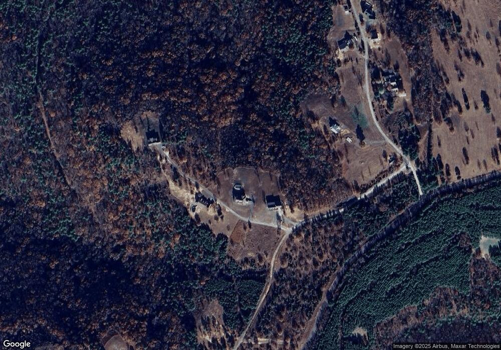
Map
Nearby Homes
- 332 Hunter Ridge Rd
- 334 Hunters Ridge
- 7429 Highway 336 E
- 158 Gr Tree Rd
- 48 Gr Tree Rd
- 000 Old Dug Rd
- 574 Choctaw Landing
- 142 Jordan Ln
- Lot 25 Wood Ln
- 000 Wood Ln
- LOT 29 Wood - Shields Ln
- 301-501 Meade Rd
- 000 Palisades Dr
- 211 Woodland Shores Dr
- 3 acres Highway 336 E
- 1535 Klondike Rd
- 108 Heather Ln
- 108 Heather Ln
- 251 Sally Ann Dr
- 51 Shelton Rd N
- 0 Lookout Point Unit 18004991
- 163 Lookout Point
- 0 Lookout Point Unit 20008584
- Tract 125 Lookout Point
- 177 Lookout Point
- 0 Lookout Point Dr Unit 21003163
- 1144 Scenic Overlook Dr
- 1050 Scenic Overlook Dr
- 1127 Scenic Overlook Dr
- 00 Hunter Ridge Rd
- 000 Hunter Ridge Rd
- 977 Scenic Overlook Dr
- 269 Waterview Cir
- #2 Waterview Cir
- 0 Waterview Cir Unit 21004002
- 243 Waterview Cir
- Lot 2 Waterview Cir
- 870 Scenic Overlook Dr
- 269 Waterfront Dr
- 130 Alum Cave Rd