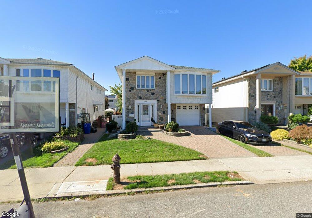
196 Malone Ave Staten Island, NY 10306
Oakwood NeighborhoodEstimated Value: $770,487 - $1,138,000
--
Bed
--
Bath
1,792
Sq Ft
$556/Sq Ft
Est. Value
About This Home
This home is located at 196 Malone Ave, Staten Island, NY 10306 and is currently estimated at $995,872, approximately $555 per square foot. 196 Malone Ave is a home located in Richmond County with nearby schools including P.S. 53 The Barbara Esselborn School, Myra S. Barnes Intermediate School 24, and New Dorp High School.
Ownership History
Date
Name
Owned For
Owner Type
Purchase Details
Closed on
Jun 8, 2023
Sold by
John J Turco J and John Janet M
Bought by
John J Turco And Janet M Turco Irrevocable Tr and Turco
Current Estimated Value
Purchase Details
Closed on
Aug 5, 2015
Sold by
Turco John J and Turco Janet M
Bought by
Diorio Dominick and The John J Turco & Janet M Tur
Purchase Details
Closed on
Oct 23, 2007
Sold by
Turco Janet
Bought by
Turco John J and Turco Janet M
Create a Home Valuation Report for This Property
The Home Valuation Report is an in-depth analysis detailing your home's value as well as a comparison with similar homes in the area
Home Values in the Area
Average Home Value in this Area
Purchase History
| Date | Buyer | Sale Price | Title Company |
|---|---|---|---|
| John J Turco And Janet M Turco Irrevocable Tr | -- | None Listed On Document | |
| Diorio Dominick | -- | None Available | |
| Turco John J | -- | Stewart Title Insurance Co |
Source: Public Records
Tax History Compared to Growth
Tax History
| Year | Tax Paid | Tax Assessment Tax Assessment Total Assessment is a certain percentage of the fair market value that is determined by local assessors to be the total taxable value of land and additions on the property. | Land | Improvement |
|---|---|---|---|---|
| 2025 | $6,641 | $45,180 | $10,134 | $35,046 |
| 2024 | $6,745 | $48,240 | $9,491 | $38,749 |
| 2023 | $6,767 | $39,445 | $8,984 | $30,461 |
| 2022 | $6,195 | $47,820 | $11,520 | $36,300 |
| 2021 | $6,071 | $41,940 | $11,520 | $30,420 |
| 2020 | $5,742 | $46,380 | $11,520 | $34,860 |
| 2019 | $5,667 | $48,900 | $11,520 | $37,380 |
| 2018 | $2,398 | $32,871 | $10,414 | $22,457 |
| 2017 | $2,338 | $31,011 | $9,697 | $21,314 |
| 2016 | $2,127 | $29,256 | $11,417 | $17,839 |
| 2015 | $1,875 | $27,600 | $9,600 | $18,000 |
| 2014 | $1,875 | $27,600 | $9,600 | $18,000 |
Source: Public Records
Map
Nearby Homes
- 390 Montreal Ave
- 56 Brook Ave
- 158 Malone Ave
- 276 Fairbanks Ave
- 30 Ithaca St
- 516 Medina St
- 499 Medina St
- 449 Medina St Unit 1B
- 2981 Hylan Blvd
- 351 Guyon Ave
- 745 Clawson St
- 238 Montreal Ave
- 465 Amherst Ave
- 521 Mill Rd
- 385 Isabella Ave
- 148 Hopkins Ave
- 504 Falcon Ave
- 77 Acorn St
- 122 Guyon Ave
- 55 O'Gorman Ave
- 200 Malone Ave
- 192 Malone Ave
- 204 Malone Ave
- 393 Montreal Ave
- 397 Montreal Ave
- 391 Montreal Ave
- 399 Montreal Ave
- 208 Malone Ave
- 403 Montreal Ave
- 182 Malone Ave
- 405 Montreal Ave
- 212 Malone Ave
- 201 Malone Ave
- 195 Malone Ave
- 385 Montreal Ave
- 409 Montreal Ave
- 205 Malone Ave
- 205 Malone Ave Unit 1fl
- 178 Malone Ave
- 209 Malone Ave