Estimated Value: $595,010 - $631,000
3
Beds
3
Baths
3,015
Sq Ft
$205/Sq Ft
Est. Value
About This Home
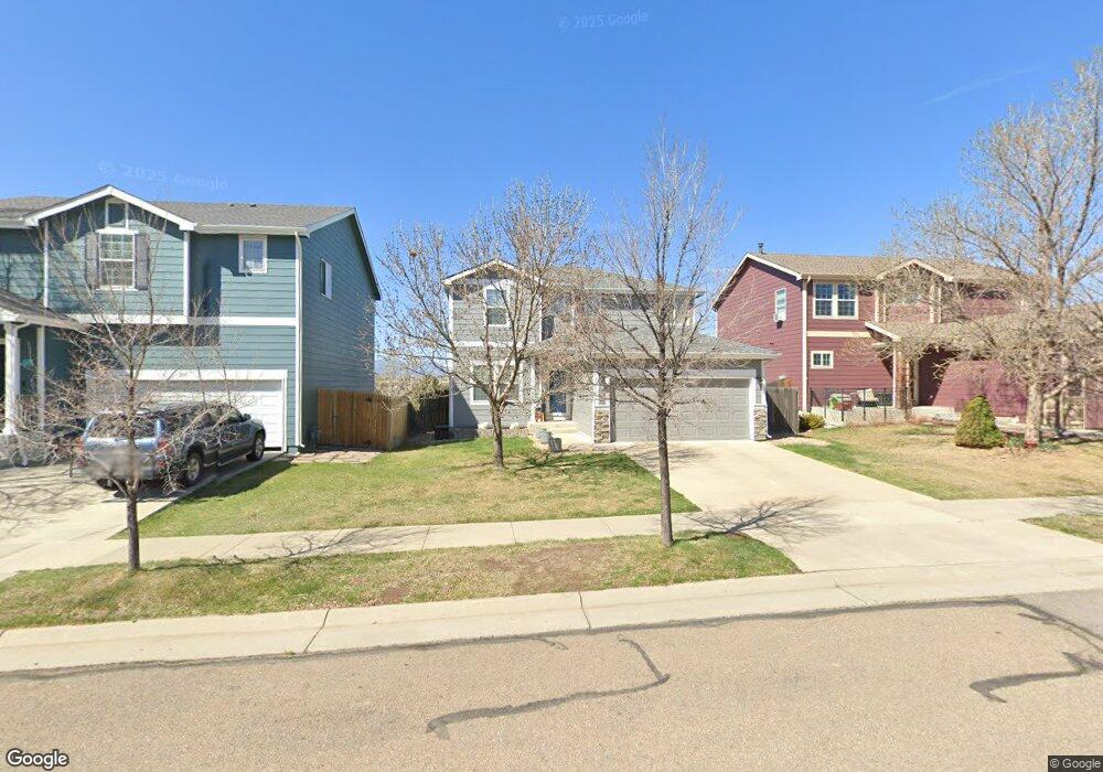
This home is located at 196 Mcafee Cir, Erie, CO 80516 and is currently estimated at $617,753, approximately $204 per square foot. 196 Mcafee Cir is a home located in Weld County with nearby schools including Red Hawk Elementary School, Erie Middle School, and Erie High School.
Ownership History
Date
Name
Owned For
Owner Type
Purchase Details
Closed on
Jul 11, 2014
Sold by
Haun Jason
Bought by
Hunt Joshua and Hunt Wendy
Current Estimated Value
Home Financials for this Owner
Home Financials are based on the most recent Mortgage that was taken out on this home.
Original Mortgage
$145,000
Outstanding Balance
$110,488
Interest Rate
4.17%
Mortgage Type
New Conventional
Estimated Equity
$507,265
Purchase Details
Closed on
Jan 24, 2003
Sold by
Kb Home Colorado Inc
Bought by
Haun Jason D
Home Financials for this Owner
Home Financials are based on the most recent Mortgage that was taken out on this home.
Original Mortgage
$217,900
Interest Rate
5.96%
Create a Home Valuation Report for This Property
The Home Valuation Report is an in-depth analysis detailing your home's value as well as a comparison with similar homes in the area
Home Values in the Area
Average Home Value in this Area
Purchase History
| Date | Buyer | Sale Price | Title Company |
|---|---|---|---|
| Hunt Joshua | $290,000 | North American Title | |
| Haun Jason D | $272,481 | -- |
Source: Public Records
Mortgage History
| Date | Status | Borrower | Loan Amount |
|---|---|---|---|
| Open | Hunt Joshua | $145,000 | |
| Previous Owner | Haun Jason D | $217,900 |
Source: Public Records
Tax History Compared to Growth
Tax History
| Year | Tax Paid | Tax Assessment Tax Assessment Total Assessment is a certain percentage of the fair market value that is determined by local assessors to be the total taxable value of land and additions on the property. | Land | Improvement |
|---|---|---|---|---|
| 2025 | $3,752 | $37,860 | $7,880 | $29,980 |
| 2024 | $3,752 | $37,860 | $7,880 | $29,980 |
| 2023 | $3,617 | $39,150 | $7,850 | $31,300 |
| 2022 | $3,205 | $29,740 | $5,910 | $23,830 |
| 2021 | $3,274 | $30,600 | $6,080 | $24,520 |
| 2020 | $3,007 | $28,320 | $4,650 | $23,670 |
| 2019 | $3,035 | $28,320 | $4,650 | $23,670 |
| 2018 | $2,590 | $24,200 | $3,600 | $20,600 |
| 2017 | $2,517 | $24,200 | $3,600 | $20,600 |
| 2016 | $2,313 | $21,960 | $3,980 | $17,980 |
| 2015 | $2,243 | $21,960 | $3,980 | $17,980 |
| 2014 | $1,870 | $18,180 | $3,980 | $14,200 |
Source: Public Records
Map
Nearby Homes
- 111 Ambrose St
- 560 Indian Peaks Dr
- 173 Ambrose St
- 158 Summit Way
- 30 Sun up Ct
- 61 Moonrise Ct
- 610 Sun up Place
- 360 Ambrose St
- 310 Ambrose St
- 390 Ambrose St
- 90 Pipit Lake Way
- 172 Painted Horse Way
- 195 Briggs St
- 365 Briggs St
- 420 Anderson St
- 410 Anderson St
- 321 Pleades Place
- 626 Gallegos St
- 915 Zodo Ave
- 190 Starlight Cir
- 192 Mcafee Cir
- 204 Mcafee Cir
- 208 Mcafee Cir
- 197 Mcafee Cir
- 195 Mcafee Cir
- 147 Montgomery Dr
- 203 Mcafee Cir
- 149 Montgomery Dr
- 191 Mcafee Cir
- 212 Mcafee Cir
- 151 Montgomery Dr
- 207 Mcafee Cir
- 155 Montgomery Dr
- 189 Mcafee Cir
- 209 Mcafee Cir
- 157 Montgomery Dr
- 151 Mcafee Cir
- 149 Mcafee Cir
- 170 Montgomery Dr
- 214 Mcafee Cir