196 Mccall St Sutherlin, OR 97479
Fair Oaks NeighborhoodEstimated Value: $242,000 - $340,000
4
Beds
1
Bath
1,352
Sq Ft
$220/Sq Ft
Est. Value
About This Home
This home is located at 196 Mccall St, Sutherlin, OR 97479 and is currently estimated at $297,675, approximately $220 per square foot. 196 Mccall St is a home located in Douglas County with nearby schools including East Sutherlin Primary School, West Sutherlin Intermediate School, and Sutherlin Middle School.
Ownership History
Date
Name
Owned For
Owner Type
Purchase Details
Closed on
Feb 27, 2020
Sold by
Federal National Mortgage Association
Bought by
Hines Eric J and Hines Mary G
Current Estimated Value
Purchase Details
Closed on
Nov 14, 2019
Sold by
Mationstar Mortgage Llc
Bought by
Federal National Mortgage Association and Fannie Mae
Purchase Details
Closed on
Oct 31, 2019
Sold by
Reed Donald T and Reed Cheri A
Bought by
Nationstar Mortgage Llc and Mr Cooper
Purchase Details
Closed on
Oct 7, 2004
Sold by
Wilder David M and Wilder Katherine A
Bought by
Reed Donald T and Reed Cherie A
Create a Home Valuation Report for This Property
The Home Valuation Report is an in-depth analysis detailing your home's value as well as a comparison with similar homes in the area
Home Values in the Area
Average Home Value in this Area
Purchase History
| Date | Buyer | Sale Price | Title Company |
|---|---|---|---|
| Hines Eric J | $134,000 | Amerititle | |
| Federal National Mortgage Association | -- | None Available | |
| Nationstar Mortgage Llc | -- | None Available | |
| Reed Donald T | $128,750 | Amerititle Inc |
Source: Public Records
Tax History Compared to Growth
Tax History
| Year | Tax Paid | Tax Assessment Tax Assessment Total Assessment is a certain percentage of the fair market value that is determined by local assessors to be the total taxable value of land and additions on the property. | Land | Improvement |
|---|---|---|---|---|
| 2025 | $926 | $126,107 | -- | -- |
| 2024 | $899 | $122,434 | -- | -- |
| 2023 | $873 | $118,868 | $0 | $0 |
| 2022 | $848 | $115,406 | $0 | $0 |
| 2021 | $823 | $112,045 | $0 | $0 |
| 2020 | $799 | $108,782 | $0 | $0 |
| 2019 | $776 | $105,614 | $0 | $0 |
| 2018 | $753 | $102,538 | $0 | $0 |
| 2017 | $796 | $99,552 | $0 | $0 |
| 2016 | $773 | $96,653 | $0 | $0 |
| 2015 | $751 | $93,838 | $0 | $0 |
| 2014 | $728 | $91,105 | $0 | $0 |
| 2013 | -- | $88,452 | $0 | $0 |
Source: Public Records
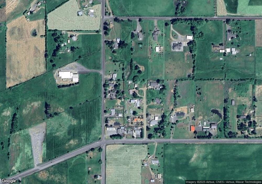
Map
Nearby Homes
- 205 Fair Oaks Rd
- 557 Plat B Rd
- 1300 Fair Oaks Rd
- 1555 Northside Rd
- 339 Justa Ln
- 161 South Ave
- 250 Valley View Rd
- 1175 Northside Rd
- 402 Northside Rd
- 7858 Nonpareil Rd
- 660 Jade St
- 1762 E Fourth Ave
- 475 Thomas (+471) Rd
- 1732 E Sixth Ave
- 0 Locust St
- 104 SE 8th St
- 800 SE 5th St
- 337 Arvilla Ct
- 229 N Grove Ln
- 1853 Ridge Water Dr
- 196 Mccall St
- 172 Mccall St
- 151 Old Pioneer Rd
- 231 Old Pioneer Rd
- 163 Mccall St
- 203 Mccall St
- 124 Mccall St
- 131 Old Pioneer Rd
- 141 Mccall St
- 4926 Nonpareil Rd
- 4958 Nonpareil Rd
- 4920 Nonpareil Rd
- 185 Fair Oaks Rd Unit 1
- 185 Fair Oaks Rd
- 503 Old Pioneer Rd
- 5026 Nonpareil Rd
- 241 Fair Oaks Rd
- 286 Old Pioneer Rd
- 5118 Nonpareil Rd
- 139 Plat K Rd