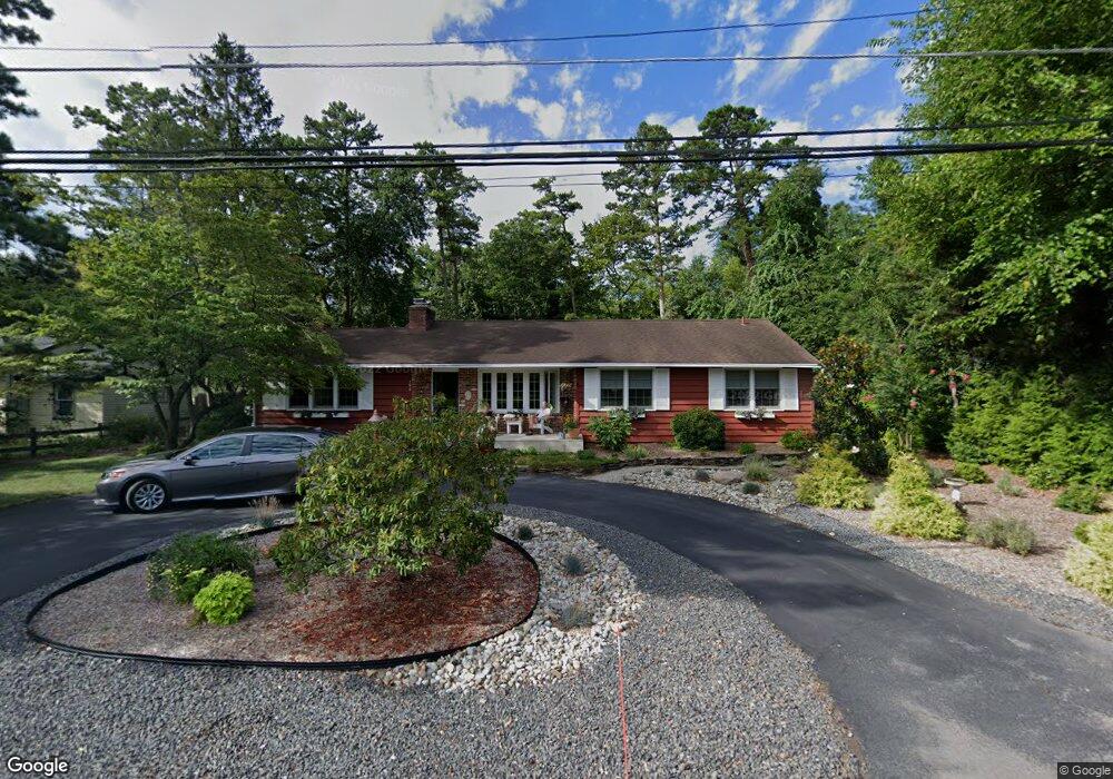
196 Mckendimen Rd Medford, NJ 08055
Estimated Value: $511,510 - $720,000
--
Bed
--
Bath
2,419
Sq Ft
$257/Sq Ft
Est. Value
About This Home
This home is located at 196 Mckendimen Rd, Medford, NJ 08055 and is currently estimated at $621,378, approximately $256 per square foot. 196 Mckendimen Rd is a home located in Burlington County with nearby schools including Nokomis School, Neeta School, and Shawnee High School.
Ownership History
Date
Name
Owned For
Owner Type
Purchase Details
Closed on
Apr 2, 2004
Sold by
Horner A and Balsley Diane
Bought by
Horner Albert D and Horner Diane
Current Estimated Value
Home Financials for this Owner
Home Financials are based on the most recent Mortgage that was taken out on this home.
Original Mortgage
$128,000
Interest Rate
5.58%
Mortgage Type
Purchase Money Mortgage
Purchase Details
Closed on
May 31, 1995
Sold by
Menice Leonard F and Menice Frances E
Bought by
Horner Albert D and Balsley Diane
Create a Home Valuation Report for This Property
The Home Valuation Report is an in-depth analysis detailing your home's value as well as a comparison with similar homes in the area
Home Values in the Area
Average Home Value in this Area
Purchase History
| Date | Buyer | Sale Price | Title Company |
|---|---|---|---|
| Horner Albert D | -- | First American Title Ins Co | |
| Horner Albert D | $170,000 | Medford Title Agency |
Source: Public Records
Mortgage History
| Date | Status | Borrower | Loan Amount |
|---|---|---|---|
| Closed | Horner Albert D | $128,000 |
Source: Public Records
Tax History Compared to Growth
Tax History
| Year | Tax Paid | Tax Assessment Tax Assessment Total Assessment is a certain percentage of the fair market value that is determined by local assessors to be the total taxable value of land and additions on the property. | Land | Improvement |
|---|---|---|---|---|
| 2025 | $11,185 | $294,200 | $80,200 | $214,000 |
| 2024 | $10,576 | $294,200 | $80,200 | $214,000 |
| 2023 | $10,576 | $294,200 | $80,200 | $214,000 |
| 2022 | $10,347 | $294,200 | $80,200 | $214,000 |
| 2021 | $9,136 | $294,200 | $80,200 | $214,000 |
| 2020 | $9,797 | $294,200 | $80,200 | $214,000 |
| 2019 | $9,779 | $294,200 | $80,200 | $214,000 |
| 2018 | $9,532 | $294,200 | $80,200 | $214,000 |
| 2017 | $8,853 | $294,200 | $80,200 | $214,000 |
| 2016 | $8,626 | $294,200 | $80,200 | $214,000 |
| 2015 | $8,570 | $294,200 | $80,200 | $214,000 |
| 2014 | $8,364 | $294,200 | $80,200 | $214,000 |
Source: Public Records
Map
Nearby Homes
- 56 Decotah Trail
- 19 Cayuga Trail
- 28 Shawnee Trail
- 133 Stokes Rd
- 81 Sagamore Trail
- 114 Hiawatha Trail
- 109 Mohawk Trail
- 6 Rams Gate Ct
- 38 Lenape Trail
- 42 Lenape Trail
- 125 Sitting Bull Trail
- 178 Nahma Trail
- 1322 Stokes Rd
- 65 Cutchogue Trail
- 183 Nahma Trail
- 37 Osage Trail
- 179 Chickahominy Trail
- 14 Hiawatha Trail
- 98 Nantucket Trail
- 9 Hawthorne Dr
- 200 Mckendimen Rd
- 197 Briarwood Trail
- 198 Hunters Rd
- 206 Mckendimen Rd
- 204 Hunters Rd
- 192 Hunters Rd
- 205 Briarwood Trail
- 211 Briarwood Trail
- 210 Hunters Rd
- 188 Hunters Rd
- 203 Tonkawa Trail
- 212 Mckendimen Rd
- 213 Hunters Rd
- 193 Tonkawa Trail
- 209 Tonkawa Trail
- 216 Hunters Rd
- 213 Tonkawa Trail
- 189 Chippewa Trail
- 218 Mckendimen Rd
- 219 Briarwood Trail