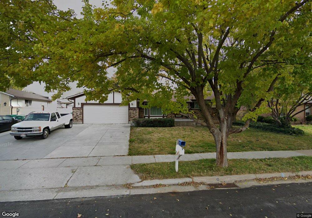
196 N 1250 W Clearfield, UT 84015
Estimated Value: $442,293 - $479,000
3
Beds
2
Baths
1,477
Sq Ft
$311/Sq Ft
Est. Value
About This Home
This home is located at 196 N 1250 W, Clearfield, UT 84015 and is currently estimated at $460,073, approximately $311 per square foot. 196 N 1250 W is a home located in Davis County.
Ownership History
Date
Name
Owned For
Owner Type
Purchase Details
Closed on
Feb 11, 2010
Sold by
Thompson Leann B
Bought by
Thompson Alan W and Thompson Le Ann B
Current Estimated Value
Home Financials for this Owner
Home Financials are based on the most recent Mortgage that was taken out on this home.
Original Mortgage
$185,948
Interest Rate
5.5%
Mortgage Type
FHA
Purchase Details
Closed on
Jun 6, 2002
Sold by
Thompson Le Ann B
Bought by
Thompson Alan W and Thompson Ann B
Create a Home Valuation Report for This Property
The Home Valuation Report is an in-depth analysis detailing your home's value as well as a comparison with similar homes in the area
Home Values in the Area
Average Home Value in this Area
Purchase History
| Date | Buyer | Sale Price | Title Company |
|---|---|---|---|
| Thompson Alan W | -- | Mountain View Title | |
| Thompson Leann B | -- | Mountain View Title | |
| Thompson Alan W | -- | Founders Title Co |
Source: Public Records
Mortgage History
| Date | Status | Borrower | Loan Amount |
|---|---|---|---|
| Closed | Thompson Leann B | $185,948 |
Source: Public Records
Tax History Compared to Growth
Tax History
| Year | Tax Paid | Tax Assessment Tax Assessment Total Assessment is a certain percentage of the fair market value that is determined by local assessors to be the total taxable value of land and additions on the property. | Land | Improvement |
|---|---|---|---|---|
| 2025 | $2,805 | $251,350 | $76,666 | $174,684 |
| 2024 | $2,693 | $243,099 | $73,263 | $169,836 |
| 2023 | $2,505 | $228,250 | $64,238 | $164,011 |
| 2022 | $2,633 | $429,000 | $120,848 | $308,152 |
| 2021 | $2,267 | $307,000 | $72,922 | $234,078 |
| 2020 | $1,986 | $267,000 | $61,753 | $205,247 |
| 2019 | $1,929 | $256,000 | $63,159 | $192,841 |
| 2018 | $1,732 | $224,000 | $56,060 | $167,940 |
| 2016 | $1,503 | $101,585 | $22,543 | $79,042 |
| 2015 | $1,390 | $89,595 | $22,543 | $67,052 |
| 2014 | $1,290 | $84,287 | $22,543 | $61,744 |
| 2013 | -- | $84,519 | $31,680 | $52,839 |
Source: Public Records
Map
Nearby Homes
- 16 N 1300 W
- 303 N Canterbury Way
- 417 N 1200 W Unit 84
- 423 N 1250 W Unit 118
- 135 S 1525 W
- 575 N 1350 W Unit 137
- 1337 W 550 N Unit 195
- 563 N 1350 W Unit 139
- 1350 W 300 N Unit 49
- 1350 W 300 N Unit 38
- 1350 W 300 N Unit 29
- 4284 W 350 S Unit 615
- 4296 W 350 S Unit 614
- Evergreen Plan at Ivie Meadows
- 274 N 825 W
- 288 N 825 W
- 1648 W 150 S
- 777 W 300 N
- 762 W 300 N
- 47 N 1750 W