196 Poverty Hill Ln Statesville, NC 28625
Estimated Value: $300,294 - $329,000
3
Beds
2
Baths
1,710
Sq Ft
$184/Sq Ft
Est. Value
About This Home
This home is located at 196 Poverty Hill Ln, Statesville, NC 28625 and is currently estimated at $314,074, approximately $183 per square foot. 196 Poverty Hill Ln is a home located in Iredell County with nearby schools including Central Elementary School, North Iredell Middle School, and North Iredell High School.
Ownership History
Date
Name
Owned For
Owner Type
Purchase Details
Closed on
May 27, 2025
Sold by
Pitts Clarence Michael
Bought by
Pitts Clarence Michael and Onley Wanda Pitts
Current Estimated Value
Purchase Details
Closed on
Jan 20, 2006
Sold by
Pitts Clarence Michael
Bought by
Pitts Clarence Michael
Home Financials for this Owner
Home Financials are based on the most recent Mortgage that was taken out on this home.
Original Mortgage
$119,000
Interest Rate
6.22%
Mortgage Type
Purchase Money Mortgage
Create a Home Valuation Report for This Property
The Home Valuation Report is an in-depth analysis detailing your home's value as well as a comparison with similar homes in the area
Home Values in the Area
Average Home Value in this Area
Purchase History
| Date | Buyer | Sale Price | Title Company |
|---|---|---|---|
| Pitts Clarence Michael | -- | None Listed On Document | |
| Pitts Clarence Michael | -- | None Listed On Document | |
| Pitts Clarence Michael | $83,500 | None Available |
Source: Public Records
Mortgage History
| Date | Status | Borrower | Loan Amount |
|---|---|---|---|
| Previous Owner | Pitts Clarence Michael | $119,000 |
Source: Public Records
Tax History Compared to Growth
Tax History
| Year | Tax Paid | Tax Assessment Tax Assessment Total Assessment is a certain percentage of the fair market value that is determined by local assessors to be the total taxable value of land and additions on the property. | Land | Improvement |
|---|---|---|---|---|
| 2024 | $1,399 | $227,020 | $5,250 | $221,770 |
| 2023 | $1,399 | $227,020 | $5,250 | $221,770 |
| 2022 | $1,064 | $159,940 | $4,500 | $155,440 |
| 2021 | $1,060 | $159,940 | $4,500 | $155,440 |
| 2020 | $1,060 | $159,940 | $4,500 | $155,440 |
| 2019 | $1,044 | $159,940 | $4,500 | $155,440 |
| 2018 | $924 | $145,950 | $4,500 | $141,450 |
| 2017 | $924 | $145,950 | $4,500 | $141,450 |
| 2016 | $924 | $145,950 | $4,500 | $141,450 |
| 2015 | $924 | $145,950 | $4,500 | $141,450 |
| 2014 | $898 | $152,450 | $4,500 | $147,950 |
Source: Public Records
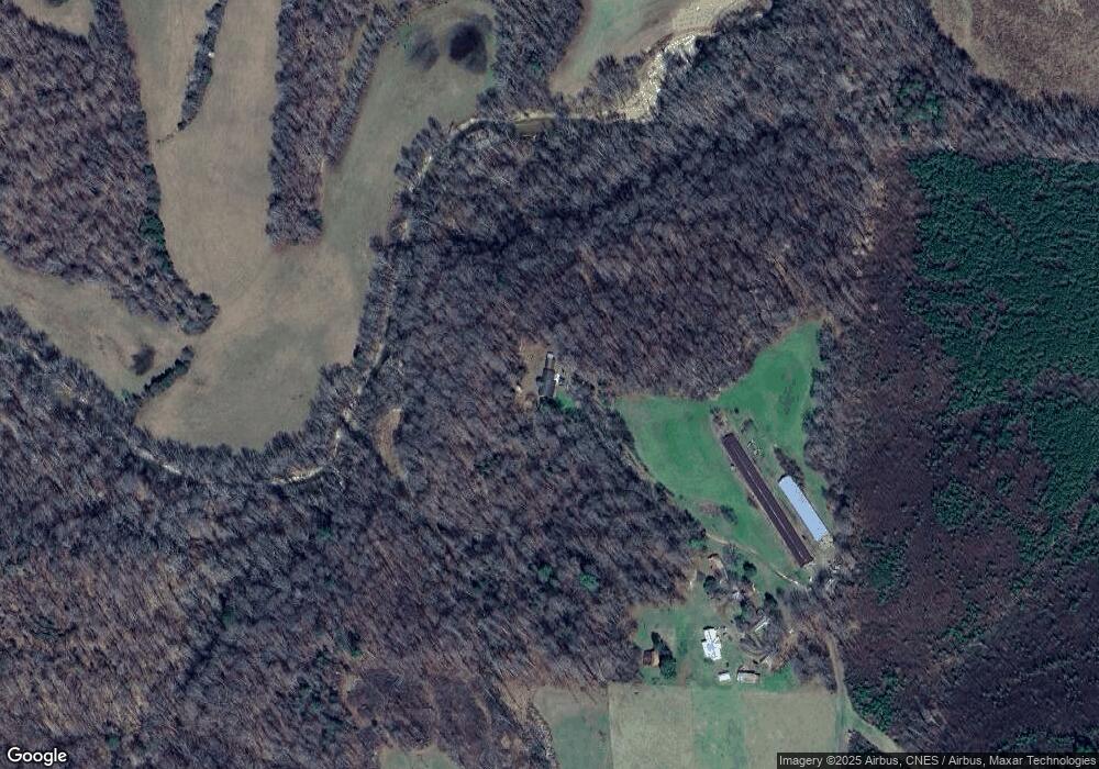
Map
Nearby Homes
- 3359 Wilkesboro Hwy
- 112 Triton Dr
- 00 Hilltop Dr Unit 14
- 00 Hilltop Dr
- 00 Hilltop Dr Unit 13
- 154 Windy Hill Rd
- 203 Grassy Meadow Ln
- 3050 Wilkesboro Hwy
- Lot 22 Vance Farm Dr
- 164 Vance Farm Dr
- 000 Cove Gap Rd
- 133 Bluegill Ln
- 212 Hill Farm Rd
- 107 Porter Rd
- 223 Bluegill Ln
- 137 Bluegill Ln
- 4268 Wilkesboro Hwy
- 111 Mallory Ln
- 354 Bluegill Ln Unit 23
- 179 Foy Ln
- 159 Poverty Hill Ln
- 766 Bailey Farm Rd
- 692 Bailey Farm Rd
- 721 Bailey Farm Rd
- 711 Bailey Farm Rd
- 677 Bailey Farm Rd
- 810 Bailey Farm Rd
- 669 Bailey Farm Rd
- 3552 Wilkesboro Hwy
- 846 Bailey Farm Rd
- 657 Bailey Farm Rd
- 249 Ford Farm Rd
- 649 Bailey Farm Rd
- 837 Bailey Farm Rd
- 643 Bailey Farm Rd
- 000 Ford Farm Rd
- 3579 Wilkesboro Hwy
- 0000 Hanging Rock Ln
- 289 Ford Farm Rd
- 646 Bailey Farm Rd