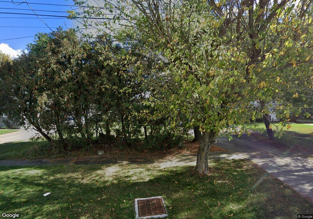
196 Railroad St Lagrange, OH 44050
Estimated Value: $177,000 - $222,000
3
Beds
2
Baths
1,380
Sq Ft
$142/Sq Ft
Est. Value
About This Home
This home is located at 196 Railroad St, Lagrange, OH 44050 and is currently estimated at $196,345, approximately $142 per square foot. 196 Railroad St is a home located in Lorain County with nearby schools including Keystone Elementary School, Keystone Middle School, and Keystone High School.
Ownership History
Date
Name
Owned For
Owner Type
Purchase Details
Closed on
Jun 9, 2010
Sold by
Fannie Mae
Bought by
Strunk Belinda C
Current Estimated Value
Home Financials for this Owner
Home Financials are based on the most recent Mortgage that was taken out on this home.
Original Mortgage
$76,963
Outstanding Balance
$51,783
Interest Rate
5.05%
Mortgage Type
FHA
Estimated Equity
$144,562
Purchase Details
Closed on
Mar 17, 2010
Sold by
Ketring Roy D and Ketring Diane M
Bought by
Federal National Mortgage Association
Purchase Details
Closed on
Apr 9, 1998
Sold by
Ketring Diane M
Bought by
Ketring Roy D and Ketring Diane M
Home Financials for this Owner
Home Financials are based on the most recent Mortgage that was taken out on this home.
Original Mortgage
$89,000
Interest Rate
7.27%
Create a Home Valuation Report for This Property
The Home Valuation Report is an in-depth analysis detailing your home's value as well as a comparison with similar homes in the area
Home Values in the Area
Average Home Value in this Area
Purchase History
| Date | Buyer | Sale Price | Title Company |
|---|---|---|---|
| Strunk Belinda C | $78,000 | Ohio Title Corporation | |
| Federal National Mortgage Association | $71,900 | None Available | |
| Ketring Roy D | -- | Oakwood Title Agency |
Source: Public Records
Mortgage History
| Date | Status | Borrower | Loan Amount |
|---|---|---|---|
| Open | Strunk Belinda C | $76,963 | |
| Previous Owner | Ketring Roy D | $89,000 |
Source: Public Records
Tax History Compared to Growth
Tax History
| Year | Tax Paid | Tax Assessment Tax Assessment Total Assessment is a certain percentage of the fair market value that is determined by local assessors to be the total taxable value of land and additions on the property. | Land | Improvement |
|---|---|---|---|---|
| 2024 | $2,143 | $50,572 | $7,711 | $42,861 |
| 2023 | $2,262 | $44,569 | $8,271 | $36,299 |
| 2022 | $2,247 | $44,569 | $8,271 | $36,299 |
| 2021 | $2,248 | $44,569 | $8,271 | $36,299 |
| 2020 | $2,050 | $36,230 | $6,720 | $29,510 |
| 2019 | $2,039 | $36,230 | $6,720 | $29,510 |
| 2018 | $1,979 | $36,230 | $6,720 | $29,510 |
| 2017 | $1,992 | $34,340 | $4,930 | $29,410 |
| 2016 | $1,978 | $34,340 | $4,930 | $29,410 |
| 2015 | $1,976 | $34,340 | $4,930 | $29,410 |
| 2014 | $1,530 | $30,120 | $4,320 | $25,800 |
| 2013 | $1,484 | $30,120 | $4,320 | $25,800 |
Source: Public Records
Map
Nearby Homes
- 194 Railroad St
- 0 Dill Ct Unit 5072837
- 110 Railroad St
- 302 N Center St
- 433 N Center St
- 516 Appomattox Ct
- 548 William St
- 607 Rundle St
- 614 Rundle St
- 128 Harvest Ct
- 171 Keywood Blvd
- 630 Rundle St
- 808 Buckingham Dr
- 800 Buckingham Dr
- 822 Robinson Dr
- 40725 Biggs Rd
- 756 N Center St
- 829 Robinson Dr
- 831 Robinson Dr
- 19045 Whitehead Rd
- 198 Railroad St
- 192 Railroad St
- 118120 E Main St
- 414 E Main St
- 315 E Main St Unit 319
- 317 E Main St
- 0 E Main St Unit 654389
- 0 E Main St Unit 5034169
- 0 E Main St Unit 5010994
- 0 E Main St Unit 4474022
- 0 E Main St
- 319 E Main St
- 180 Railroad St
- 403 E Main St
- 418 E Main St
- 170 Railroad St
- 415 E Main St
- 179 Railroad St
- 166 Railroad St
- 166 Railroad St
