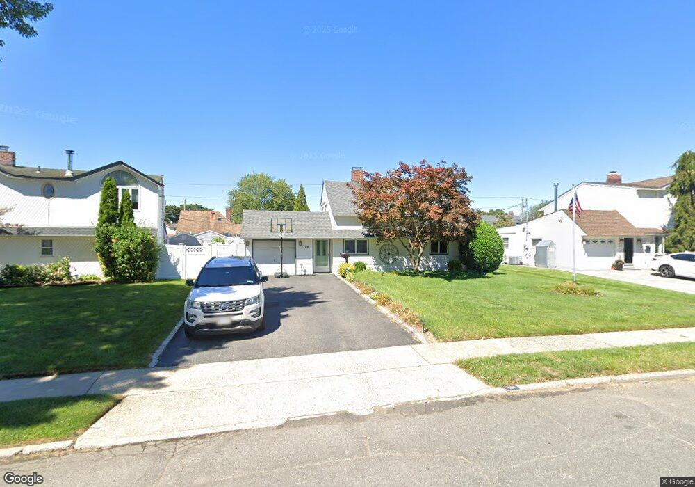
196 Red Maple Dr E Levittown, NY 11756
Estimated Value: $696,807 - $719,000
Studio
2
Baths
1,570
Sq Ft
$451/Sq Ft
Est. Value
About This Home
This home is located at 196 Red Maple Dr E, Levittown, NY 11756 and is currently estimated at $707,904, approximately $450 per square foot. 196 Red Maple Dr E is a home located in Nassau County with nearby schools including East Broadway School, Jonas E. Salk Middle School, and Gen. Douglas MacArthur Senior High School.
Ownership History
Date
Name
Owned For
Owner Type
Purchase Details
Closed on
Oct 2, 2015
Sold by
Shortell Theresa J
Bought by
Schmidt Jason and Schmidt Lindsay
Current Estimated Value
Home Financials for this Owner
Home Financials are based on the most recent Mortgage that was taken out on this home.
Original Mortgage
$334,200
Outstanding Balance
$262,945
Interest Rate
3.88%
Mortgage Type
Purchase Money Mortgage
Estimated Equity
$444,959
Create a Home Valuation Report for This Property
The Home Valuation Report is an in-depth analysis detailing your home's value as well as a comparison with similar homes in the area
Home Values in the Area
Average Home Value in this Area
Purchase History
| Date | Buyer | Sale Price | Title Company |
|---|---|---|---|
| Schmidt Jason | $420,000 | Stewart Title Insurance |
Source: Public Records
Mortgage History
| Date | Status | Borrower | Loan Amount |
|---|---|---|---|
| Open | Schmidt Jason | $334,200 |
Source: Public Records
Tax History
| Year | Tax Paid | Tax Assessment Tax Assessment Total Assessment is a certain percentage of the fair market value that is determined by local assessors to be the total taxable value of land and additions on the property. | Land | Improvement |
|---|---|---|---|---|
| 2025 | $14,311 | $444 | $253 | $191 |
| 2024 | $3,398 | $443 | $253 | $190 |
Source: Public Records
Map
Nearby Homes
Your Personal Tour Guide
Ask me questions while you tour the home.