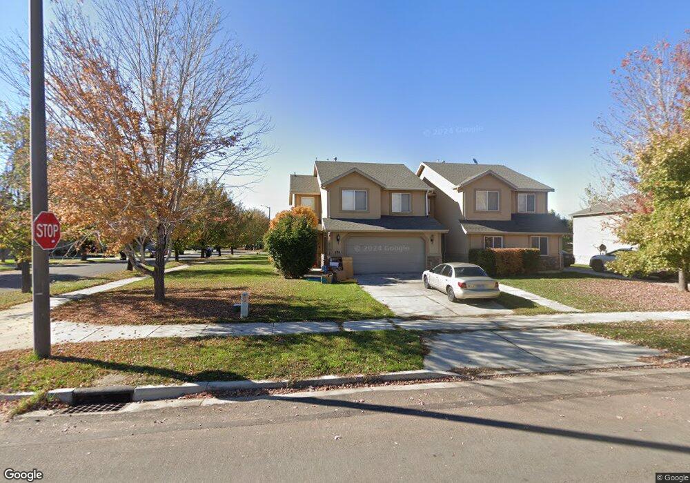
196 S 1100 W Springville, UT 84663
Westfields North NeighborhoodEstimated Value: $379,000 - $434,000
4
Beds
3
Baths
1,443
Sq Ft
$284/Sq Ft
Est. Value
About This Home
This home is located at 196 S 1100 W, Springville, UT 84663 and is currently estimated at $410,317, approximately $284 per square foot. 196 S 1100 W is a home located in Utah County with nearby schools including Westside Elementary School, Springville Junior High School, and Springville High School.
Ownership History
Date
Name
Owned For
Owner Type
Purchase Details
Closed on
Mar 28, 2007
Sold by
J Ballard Homes Inc
Bought by
J Ballard Homes Inc
Current Estimated Value
Home Financials for this Owner
Home Financials are based on the most recent Mortgage that was taken out on this home.
Original Mortgage
$30,300
Interest Rate
6.2%
Mortgage Type
Stand Alone Second
Create a Home Valuation Report for This Property
The Home Valuation Report is an in-depth analysis detailing your home's value as well as a comparison with similar homes in the area
Home Values in the Area
Average Home Value in this Area
Purchase History
| Date | Buyer | Sale Price | Title Company |
|---|---|---|---|
| J Ballard Homes Inc | -- | Lone Peak Title |
Source: Public Records
Mortgage History
| Date | Status | Borrower | Loan Amount |
|---|---|---|---|
| Closed | J Ballard Homes Inc | $30,300 |
Source: Public Records
Tax History Compared to Growth
Tax History
| Year | Tax Paid | Tax Assessment Tax Assessment Total Assessment is a certain percentage of the fair market value that is determined by local assessors to be the total taxable value of land and additions on the property. | Land | Improvement |
|---|---|---|---|---|
| 2025 | $2,158 | $381,200 | $94,100 | $287,100 |
| 2024 | $2,158 | $214,170 | $0 | $0 |
| 2023 | $2,137 | $214,060 | $0 | $0 |
| 2022 | $2,022 | $198,935 | $0 | $0 |
| 2021 | $1,826 | $279,300 | $76,200 | $203,100 |
| 2020 | $1,760 | $261,000 | $76,200 | $184,800 |
| 2019 | $1,612 | $243,000 | $76,200 | $166,800 |
| 2018 | $1,557 | $223,900 | $76,200 | $147,700 |
| 2017 | $1,505 | $114,785 | $0 | $0 |
| 2016 | $1,352 | $101,035 | $0 | $0 |
| 2015 | $1,263 | $96,250 | $0 | $0 |
| 2014 | $1,158 | $87,450 | $0 | $0 |
Source: Public Records
Map
Nearby Homes
- 1166 W 200 S
- 1175 W 100 S
- 42 S 1100 W
- 1087 E 3600 S Unit 212
- 224 S 550 W Unit B-2
- 532 W 300 S Unit B
- 650 E 3600 S
- 231 N 750 W
- 745 S Harrison Dr W Unit 37
- 743 S Harrison Dr W Unit 36
- 729 S Harrison Dr
- 717 S Harrison Dr Unit 29
- 742 S Harrison Dr Unit 13
- 776 S Harrison Dr Unit 78
- 785 S Harrison Dr Unit 51
- 749 S Harrison Dr Unit 38
- 751 S Harrison Dr Unit 28
- 156 N 600 W
- 293 S 450 W Unit B
- 758 W 375 N
- 192 S 1100 W
- 197 S 1125 W Unit LOT 78
- 197 S 1125 W
- 191 S 1125 W Unit LOT 77
- 191 S 1125 W
- 1092 W 200 S
- 1107 W 200 S
- 1103 W 200 S
- 179 S 1125 W Unit 76
- 179 S 1125 W
- 168 S 1100 W
- 1113 W 200 S Unit RPW 1
- 1119 W 200 S
- 1119 W 200 S Unit RPW 2
- 167 S 1125 W Unit 75
- 171 S 1100 W
- 1091 W 200 S
- 156 S 1100 W
- 163 S 1100 W
- 1127 W 200 S Unit RPW 3