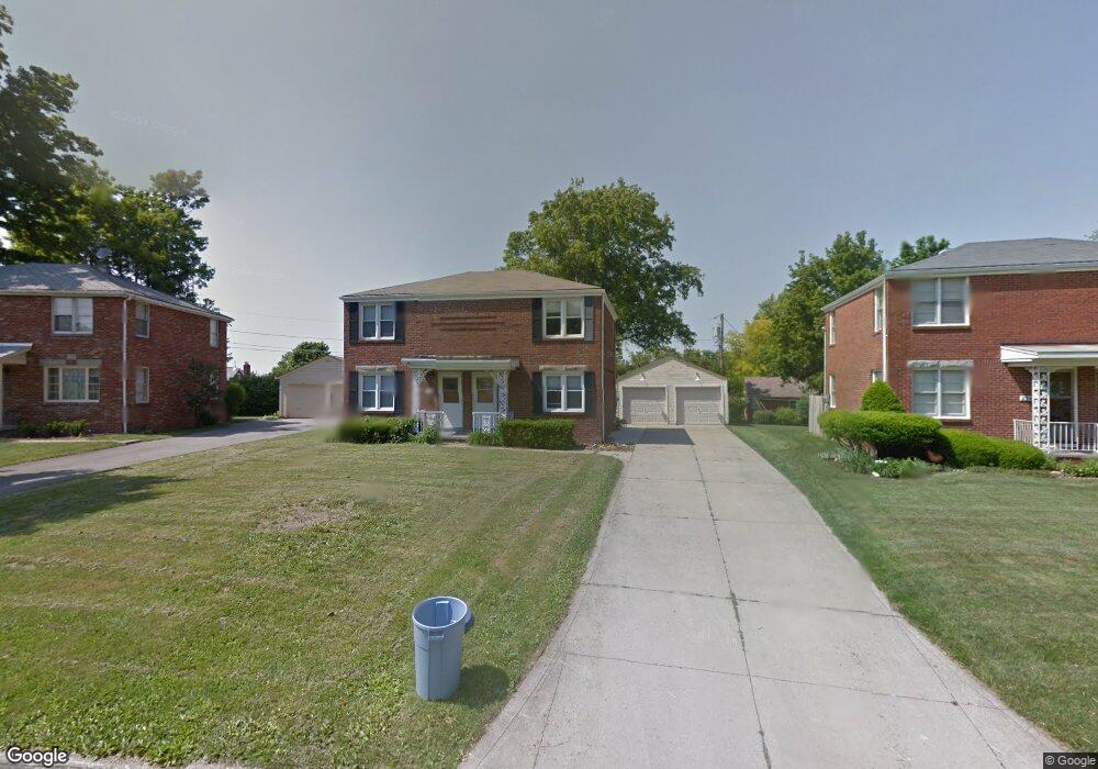
196 Saxton Rd Mansfield, OH 44907
Estimated Value: $161,000 - $185,000
4
Beds
2
Baths
1,768
Sq Ft
$99/Sq Ft
Est. Value
About This Home
This home is located at 196 Saxton Rd, Mansfield, OH 44907 and is currently estimated at $175,202, approximately $99 per square foot. 196 Saxton Rd is a home located in Richland County with nearby schools including St. Peter's Elementary/Montessori School, Discovery School, and St. Peter's Junior High / High School.
Ownership History
Date
Name
Owned For
Owner Type
Purchase Details
Closed on
Apr 27, 2021
Sold by
Pfeiffer Ryleigh H
Bought by
Tane Ergys
Current Estimated Value
Home Financials for this Owner
Home Financials are based on the most recent Mortgage that was taken out on this home.
Original Mortgage
$121,050
Outstanding Balance
$106,620
Interest Rate
3%
Mortgage Type
Future Advance Clause Open End Mortgage
Estimated Equity
$68,582
Purchase Details
Closed on
Apr 3, 2020
Sold by
Pfeiffer John and Pfeiffer Zuzanna
Bought by
Pfeiffer Austin L and Pfeiffer Ryleigh H
Home Financials for this Owner
Home Financials are based on the most recent Mortgage that was taken out on this home.
Original Mortgage
$65,700
Interest Rate
3.4%
Mortgage Type
Future Advance Clause Open End Mortgage
Create a Home Valuation Report for This Property
The Home Valuation Report is an in-depth analysis detailing your home's value as well as a comparison with similar homes in the area
Home Values in the Area
Average Home Value in this Area
Purchase History
| Date | Buyer | Sale Price | Title Company |
|---|---|---|---|
| Tane Ergys | $134,500 | Chicago Title | |
| Pfeiffer Austin L | $73,000 | Chicago Title Agency |
Source: Public Records
Mortgage History
| Date | Status | Borrower | Loan Amount |
|---|---|---|---|
| Open | Tane Ergys | $121,050 | |
| Previous Owner | Pfeiffer Austin L | $65,700 |
Source: Public Records
Tax History
| Year | Tax Paid | Tax Assessment Tax Assessment Total Assessment is a certain percentage of the fair market value that is determined by local assessors to be the total taxable value of land and additions on the property. | Land | Improvement |
|---|---|---|---|---|
| 2024 | $2,079 | $45,420 | $7,910 | $37,510 |
| 2023 | $2,127 | $45,420 | $7,910 | $37,510 |
| 2022 | $1,864 | $33,370 | $6,900 | $26,470 |
| 2021 | $1,877 | $33,370 | $6,900 | $26,470 |
| 2020 | $1,963 | $33,370 | $6,900 | $26,470 |
| 2019 | $1,855 | $28,450 | $5,850 | $22,600 |
| 2018 | $1,831 | $28,450 | $5,850 | $22,600 |
| 2017 | $1,782 | $28,450 | $5,850 | $22,600 |
| 2016 | $1,809 | $28,010 | $5,850 | $22,160 |
| 2015 | $1,809 | $28,010 | $5,850 | $22,160 |
| 2014 | $1,705 | $28,010 | $5,850 | $22,160 |
| 2012 | $653 | $28,010 | $5,850 | $22,160 |
Source: Public Records
Map
Nearby Homes
- 0 Cline Ave Hedeen Abbeyfeale Unit 9066362
- 507 Townview Cir E
- 530 Wood St
- 27 Dunbilt Ct
- 219 Lexington Ave
- 310 Townview Cir N
- 151 Grover St
- 466 Lexington Ave
- 470 Lexington Ave
- 394 S Main St
- 377 S Main St
- 575 Crescent Rd
- 286 S Main St
- 183 Carpenter Rd
- 273 Hammond Ave
- 22 Small Ave
- 212 S Main St
- 172 Crouse St
- 135 Wood St
- 29 Ford Ave
Your Personal Tour Guide
Ask me questions while you tour the home.