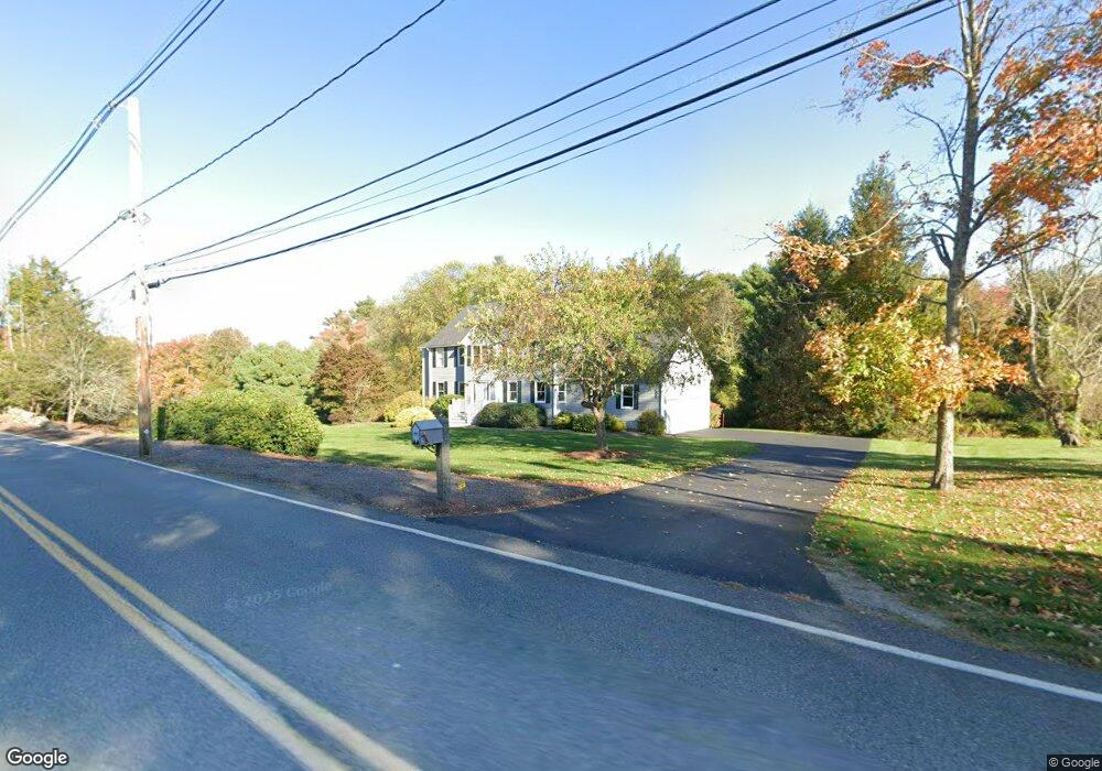
196 Seekonk St Norfolk, MA 02056
Estimated Value: $877,000 - $953,000
4
Beds
3
Baths
2,336
Sq Ft
$392/Sq Ft
Est. Value
About This Home
This home is located at 196 Seekonk St, Norfolk, MA 02056 and is currently estimated at $914,854, approximately $391 per square foot. 196 Seekonk St is a home located in Norfolk County with nearby schools including H. Olive Day School, Freeman-Kennedy School, and Clifford Academy.
Ownership History
Date
Name
Owned For
Owner Type
Purchase Details
Closed on
Nov 18, 1996
Sold by
Lorusso Brothers Inc
Bought by
Sennett Barbara J and Sennett Eliot M
Current Estimated Value
Home Financials for this Owner
Home Financials are based on the most recent Mortgage that was taken out on this home.
Original Mortgage
$207,000
Interest Rate
7.75%
Create a Home Valuation Report for This Property
The Home Valuation Report is an in-depth analysis detailing your home's value as well as a comparison with similar homes in the area
Home Values in the Area
Average Home Value in this Area
Purchase History
| Date | Buyer | Sale Price | Title Company |
|---|---|---|---|
| Sennett Barbara J | $326,983 | -- |
Source: Public Records
Mortgage History
| Date | Status | Borrower | Loan Amount |
|---|---|---|---|
| Open | Sennett Barbara J | $227,000 | |
| Closed | Sennett Barbara J | $207,000 | |
| Closed | Sennett Barbara J | $207,000 | |
| Closed | Sennett Barbara J | $84,700 |
Source: Public Records
Tax History Compared to Growth
Tax History
| Year | Tax Paid | Tax Assessment Tax Assessment Total Assessment is a certain percentage of the fair market value that is determined by local assessors to be the total taxable value of land and additions on the property. | Land | Improvement |
|---|---|---|---|---|
| 2025 | $11,939 | $747,600 | $243,200 | $504,400 |
| 2024 | $11,262 | $723,300 | $243,200 | $480,100 |
| 2023 | $11,093 | $676,000 | $243,200 | $432,800 |
| 2022 | $10,363 | $569,400 | $227,800 | $341,600 |
| 2021 | $10,011 | $556,500 | $221,200 | $335,300 |
| 2020 | $9,905 | $531,400 | $201,400 | $330,000 |
| 2019 | $9,540 | $521,600 | $201,400 | $320,200 |
| 2018 | $9,168 | $492,400 | $201,400 | $291,000 |
| 2017 | $9,039 | $496,100 | $201,400 | $294,700 |
| 2016 | $8,997 | $497,600 | $209,100 | $288,500 |
| 2015 | $8,627 | $488,500 | $196,500 | $292,000 |
| 2014 | $8,903 | $510,800 | $196,500 | $314,300 |
Source: Public Records
Map
Nearby Homes
- 13 Stop River Rd
- 10 Stop River Rd
- 16 Stop River Rd
- 16 Lee Rd
- The Georgetown L Plan at Lakeland Hills
- The Georgetown Grand L Plan at Lakeland Hills
- The Georgetown R Plan at Lakeland Hills
- The Georgetown Grand R Plan at Lakeland Hills
- 63 Thomas Mann Cir Unit 36
- 57 Thomas Mann Cir Unit 57
- 53 Thomas Mann Cir Unit 31
- 42 Thomas Mann Unit 39
- 51 Thomas Mann Unit 30
- 28 Thomas Mann Cir Unit Lot 38
- 27 Thomas Mann Cir Unit 18
- 37 Thomas Mann Cir Unit 23
- 9 Lakewood Dr
- 533 Lincoln Rd
- 12 Brookside Ln
- 270 South St