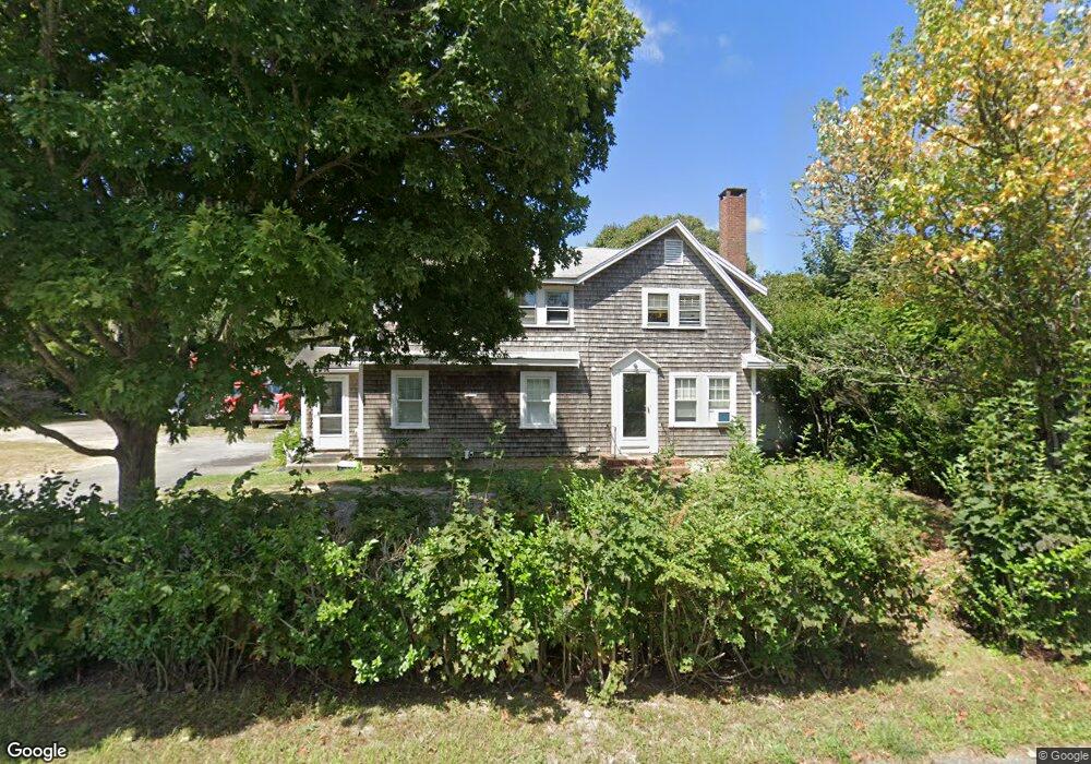
196 Sisson Rd Harwich, MA 02645
Harwich Center NeighborhoodEstimated Value: $541,000 - $683,000
5
Beds
2
Baths
1,780
Sq Ft
$331/Sq Ft
Est. Value
About This Home
This home is located at 196 Sisson Rd, Harwich, MA 02645 and is currently estimated at $589,161, approximately $330 per square foot. 196 Sisson Rd is a home located in Barnstable County with nearby schools including Harwich Elementary School, Chatham Elementary School, and Monomoy Regional Middle School.
Ownership History
Date
Name
Owned For
Owner Type
Purchase Details
Closed on
Aug 31, 2021
Sold by
Meservey Harwich Rt
Bought by
Meservey Douglas
Current Estimated Value
Home Financials for this Owner
Home Financials are based on the most recent Mortgage that was taken out on this home.
Original Mortgage
$276,251
Outstanding Balance
$249,166
Interest Rate
2.8%
Mortgage Type
FHA
Estimated Equity
$339,995
Create a Home Valuation Report for This Property
The Home Valuation Report is an in-depth analysis detailing your home's value as well as a comparison with similar homes in the area
Home Values in the Area
Average Home Value in this Area
Purchase History
| Date | Buyer | Sale Price | Title Company |
|---|---|---|---|
| Meservey Douglas | $311,500 | None Available |
Source: Public Records
Mortgage History
| Date | Status | Borrower | Loan Amount |
|---|---|---|---|
| Open | Meservey Douglas | $276,251 |
Source: Public Records
Tax History Compared to Growth
Tax History
| Year | Tax Paid | Tax Assessment Tax Assessment Total Assessment is a certain percentage of the fair market value that is determined by local assessors to be the total taxable value of land and additions on the property. | Land | Improvement |
|---|---|---|---|---|
| 2025 | $2,696 | $456,100 | $179,700 | $276,400 |
| 2024 | $2,623 | $435,000 | $169,500 | $265,500 |
| 2023 | $2,556 | $384,900 | $154,100 | $230,800 |
| 2022 | $2,551 | $314,500 | $134,000 | $180,500 |
| 2021 | $2,499 | $290,600 | $121,800 | $168,800 |
| 2020 | $2,508 | $287,300 | $120,500 | $166,800 |
| 2019 | $2,472 | $285,100 | $115,600 | $169,500 |
| 2018 | $2,414 | $266,300 | $105,100 | $161,200 |
| 2017 | $2,242 | $249,900 | $91,000 | $158,900 |
| 2016 | $2,212 | $243,900 | $91,000 | $152,900 |
| 2015 | $2,152 | $239,900 | $89,200 | $150,700 |
| 2014 | $2,497 | $284,700 | $91,000 | $193,700 |
Source: Public Records
Map
Nearby Homes
- 135 Sisson Rd
- 666 Main St
- 18 Old Campground
- 2 Bassett Woods Rd
- 44 Beriah Brooks Rd
- 14 Harold St Unit 6F
- 9 Jason Ln
- 515 Route 28
- 515 Massachusetts 28
- 403 Lower County Rd Unit A
- 292 Massachusetts 28 Unit 1
- 292 Massachusetts 28 Unit 7
- 292 Route 28 Unit 7
- 159 Pleasant Lake Ave
- 35 Wendys Way
- 106 Chatham Rd
- 21 Princes St
- 231 Route 28 Unit 8
- 7 Dunes Rd
- 28 Patricia Ln