Estimated Value: $317,000 - $447,261
3
Beds
2
Baths
2,028
Sq Ft
$188/Sq Ft
Est. Value
About This Home
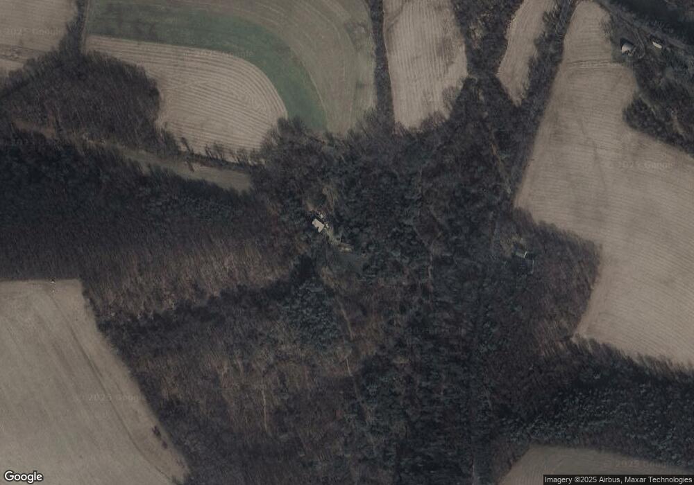
This home is located at 196 Swank Hill Rd, Muncy, PA 17756 and is currently estimated at $382,131, approximately $188 per square foot. 196 Swank Hill Rd is a home located in Lycoming County with nearby schools including Ward L. Myers Elementary School and Muncy Junior/Senior High School.
Ownership History
Date
Name
Owned For
Owner Type
Purchase Details
Closed on
Sep 22, 2016
Sold by
Peeling Donald L and Peeling Mary Lou
Bought by
Allen Martin E and Allen Marleise A
Current Estimated Value
Home Financials for this Owner
Home Financials are based on the most recent Mortgage that was taken out on this home.
Original Mortgage
$309,000
Outstanding Balance
$247,371
Interest Rate
3.5%
Mortgage Type
Seller Take Back
Estimated Equity
$134,760
Purchase Details
Closed on
Sep 8, 2006
Sold by
Flick Nacy L and Flick John W
Bought by
Peeling Donald L and Peeling Marylou
Home Financials for this Owner
Home Financials are based on the most recent Mortgage that was taken out on this home.
Original Mortgage
$200,000
Interest Rate
6.71%
Mortgage Type
Purchase Money Mortgage
Purchase Details
Closed on
Dec 6, 1990
Bought by
Peeling Donald L and Mary Lou
Create a Home Valuation Report for This Property
The Home Valuation Report is an in-depth analysis detailing your home's value as well as a comparison with similar homes in the area
Home Values in the Area
Average Home Value in this Area
Purchase History
| Date | Buyer | Sale Price | Title Company |
|---|---|---|---|
| Allen Martin E | $310,000 | Attorney | |
| Peeling Donald L | $122,000 | None Available | |
| Peeling Donald L | -- | -- |
Source: Public Records
Mortgage History
| Date | Status | Borrower | Loan Amount |
|---|---|---|---|
| Open | Allen Martin E | $309,000 | |
| Previous Owner | Peeling Donald L | $200,000 |
Source: Public Records
Tax History Compared to Growth
Tax History
| Year | Tax Paid | Tax Assessment Tax Assessment Total Assessment is a certain percentage of the fair market value that is determined by local assessors to be the total taxable value of land and additions on the property. | Land | Improvement |
|---|---|---|---|---|
| 2025 | $3,822 | $157,790 | $60,520 | $97,270 |
| 2024 | -- | $157,790 | $60,520 | $97,270 |
| 2023 | $0 | $157,790 | $60,520 | $97,270 |
| 2022 | $3,367 | $157,790 | $60,520 | $97,270 |
| 2021 | $3,822 | $157,790 | $60,520 | $97,270 |
| 2020 | $3,822 | $157,790 | $60,520 | $97,270 |
| 2019 | $3,705 | $157,790 | $60,520 | $97,270 |
| 2018 | $3,197 | $157,790 | $60,520 | $97,270 |
| 2017 | $2,989 | $157,789 | $60,519 | $97,270 |
| 2016 | -- | $157,790 | $60,520 | $97,270 |
| 2015 | -- | $157,790 | $60,520 | $97,270 |
Source: Public Records
Map
Nearby Homes
- 143 Confer Ln
- 286 Confer Ln
- 2152 Clarkstown Rd
- 2381 Pennsylvania 405 Unit LOT 90
- 692 Muncy Exchange Rd
- 126 Van Horn Blvd
- 40 Hunter Dr
- 0 Neufer Hollow Rd
- 464 Old Glade Run Rd
- 200 E Water St
- 182 E Water St
- 208 Sprout Rd
- 203 Fox Hollow Rd
- 113 New St
- 527 S Washington St
- 611 S Main St
- 47 Green St
- 8 Bruner St
- 144 E Mechanic St
- 400 S Main St
- 247 Swank Hill Rd
- 98 Bitler Hill Rd
- 304 Bitler Hill Rd
- 3375 Clarkstown Rd
- 3373 Clarkstown Rd
- 108 Vandine Rd
- 3534 Clarkstown Rd
- 3452 Clarkstown Rd
- 3614 Clarkstown Rd
- 386 Bitler Hill Rd
- 603 Swank Hill Rd
- 44 Buck St
- 424 Bitler Hill Rd
- 3742 Clarkstown Rd
- 3302 Clarkstown Rd
- 88 Buck St
- 121 Creek Rd
- 126 Buck St
- 468 Bitler Hill Rd
- 146 Buck St
