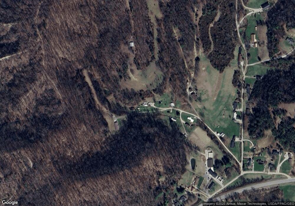
196 Walker Ln Hurricane, WV 25526
Estimated Value: $97,000 - $177,000
2
Beds
1
Bath
1,194
Sq Ft
$106/Sq Ft
Est. Value
About This Home
This home is located at 196 Walker Ln, Hurricane, WV 25526 and is currently estimated at $126,322, approximately $105 per square foot. 196 Walker Ln is a home.
Ownership History
Date
Name
Owned For
Owner Type
Purchase Details
Closed on
Jun 23, 2024
Sold by
Durham Randal J
Bought by
Durham Randal J and Durham Lisa Ann
Current Estimated Value
Purchase Details
Closed on
Feb 25, 2015
Sold by
West Pamela V
Bought by
Durham Randal J
Home Financials for this Owner
Home Financials are based on the most recent Mortgage that was taken out on this home.
Original Mortgage
$59,310
Interest Rate
4.24%
Mortgage Type
New Conventional
Purchase Details
Closed on
Mar 17, 2010
Sold by
Clark Pamela K
Bought by
West Pamela V
Create a Home Valuation Report for This Property
The Home Valuation Report is an in-depth analysis detailing your home's value as well as a comparison with similar homes in the area
Home Values in the Area
Average Home Value in this Area
Purchase History
| Date | Buyer | Sale Price | Title Company |
|---|---|---|---|
| Durham Randal J | -- | None Listed On Document | |
| Durham Randal J | $65,900 | Attorney | |
| West Pamela V | $56,500 | -- |
Source: Public Records
Mortgage History
| Date | Status | Borrower | Loan Amount |
|---|---|---|---|
| Previous Owner | Durham Randal J | $59,310 |
Source: Public Records
Tax History Compared to Growth
Tax History
| Year | Tax Paid | Tax Assessment Tax Assessment Total Assessment is a certain percentage of the fair market value that is determined by local assessors to be the total taxable value of land and additions on the property. | Land | Improvement |
|---|---|---|---|---|
| 2024 | $523 | $37,380 | $13,260 | $24,120 |
| 2023 | $421 | $36,240 | $13,260 | $22,980 |
| 2022 | $427 | $35,460 | $13,200 | $22,260 |
| 2021 | $520 | $42,960 | $13,020 | $29,940 |
| 2020 | $623 | $51,480 | $13,560 | $37,920 |
| 2019 | $603 | $49,140 | $13,560 | $35,580 |
| 2018 | $595 | $48,360 | $10,440 | $37,920 |
| 2017 | $537 | $43,260 | $10,440 | $32,820 |
| 2016 | $519 | $41,580 | $10,440 | $31,140 |
| 2015 | $590 | $46,860 | $14,880 | $31,980 |
| 2014 | -- | $52,200 | $19,620 | $32,580 |
Source: Public Records
Map
Nearby Homes
- 5108 US Route 60
- 403 Hodges Rd
- 413 Lyman Ln
- 1018
- 4016 Chelsea Crossing
- 1014 Wethersfield Crossing
- 13 Lynn Ln
- 1070 Teays Ln
- 0 Gables Dr
- 25 Lynn Ln
- 3 S Brook Dr
- 16 Chemar Dr
- 3570 Teays Valley Rd
- 20 Carriage Way
- 3 Charlo Acres - Sable Point Dr
- 201 Weatheridge Dr
- 0 Daniel Boone Trail
- 37 Cedar Dr
- 8 Ellis Dr
- 0 Station Place Way
- 152 Walker Ln
- 195 Walker Ln
- 135 Prarie Ln
- 284 Stricklin Rd
- 186 Stricklin Rd
- 282 Stricklin Rd
- 288 Sr 60
- 168 Prarie Ln
- 199 Prarie Ln
- 164 Stricklin Rd
- 281 Strickland Rd
- 283 Stricklin Rd
- 86 Stricklin Rd
- 16 Stricklin Rd
- 3214 Sr 60
- 5326 U S 60
- 5304 Us Route 60
- 258 Prarie Ln
- 5364 Us Route 60
- 46 Stricklin Rd
