196 Whittier Farm Rd Madison, ME 04950
Estimated Value: $232,000 - $624,357
3
Beds
2
Baths
520
Sq Ft
$784/Sq Ft
Est. Value
About This Home
This home is located at 196 Whittier Farm Rd, Madison, ME 04950 and is currently estimated at $407,839, approximately $784 per square foot. 196 Whittier Farm Rd is a home located in Somerset County with nearby schools including Madison Area Memorial High School.
Ownership History
Date
Name
Owned For
Owner Type
Purchase Details
Closed on
Feb 16, 2018
Sold by
Est James Christie A
Bought by
Derosier Meghann
Current Estimated Value
Purchase Details
Closed on
Jul 13, 2012
Sold by
Butler Ronald H
Bought by
James Christie A
Home Financials for this Owner
Home Financials are based on the most recent Mortgage that was taken out on this home.
Original Mortgage
$209,500
Interest Rate
3.76%
Mortgage Type
Purchase Money Mortgage
Create a Home Valuation Report for This Property
The Home Valuation Report is an in-depth analysis detailing your home's value as well as a comparison with similar homes in the area
Home Values in the Area
Average Home Value in this Area
Purchase History
| Date | Buyer | Sale Price | Title Company |
|---|---|---|---|
| Derosier Meghann | $240,000 | -- | |
| James Christie A | -- | -- |
Source: Public Records
Mortgage History
| Date | Status | Borrower | Loan Amount |
|---|---|---|---|
| Previous Owner | James Christie A | $209,500 |
Source: Public Records
Tax History Compared to Growth
Tax History
| Year | Tax Paid | Tax Assessment Tax Assessment Total Assessment is a certain percentage of the fair market value that is determined by local assessors to be the total taxable value of land and additions on the property. | Land | Improvement |
|---|---|---|---|---|
| 2024 | $6,691 | $415,600 | $321,400 | $94,200 |
| 2023 | $6,035 | $361,400 | $279,500 | $81,900 |
| 2022 | $5,713 | $307,300 | $233,700 | $73,600 |
| 2021 | $5,653 | $291,100 | $220,800 | $70,300 |
| 2020 | $6,114 | $287,700 | $220,800 | $66,900 |
| 2019 | $6,114 | $287,700 | $220,800 | $66,900 |
| 2018 | $6,186 | $287,700 | $220,800 | $66,900 |
| 2017 | $6,186 | $287,700 | $220,800 | $66,900 |
| 2016 | $6,042 | $287,700 | $220,800 | $66,900 |
| 2015 | $5,610 | $287,700 | $220,800 | $66,900 |
| 2014 | $5,610 | $287,700 | $220,800 | $66,900 |
| 2013 | $4,700 | $268,100 | $220,800 | $47,300 |
Source: Public Records
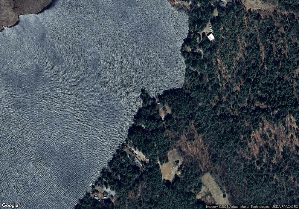
Map
Nearby Homes
- M40 L13-6 Mallard Rd
- M40 L13-7 Mallard Rd
- 14 Lower Mills Rd
- 980 E Madison Rd
- M4 L7-4 Lakewood Rd
- 1012 Lakewood Rd
- 151 Lower Mills Rd
- 89 Drake Rd
- 16 Salmon Rd
- 1397 Lakewood Rd
- 21 Naomi Ave
- 58 Naomi Ave
- 7 & 9 Crane Ln
- 1631 Lakewood Rd
- 000 Beckwith Rd
- 615 White School House Rd
- 16 Sierra Ln
- 15 Kincaid Rd
- 56 Stoutamyer Rd
- 914 S South Main St
- 192 Whittier Farm Rd
- 133 Laney Rd
- 109 Laney Rd
- 135 Laney Rd
- 184 Whittier Farm Rd
- 180 Whittier Farm Rd
- 00 Laney Rd
- 101 Laney Rd
- 176 Whittier Farm Rd
- 172 Whittier Farm Rd
- 170 Whittier Farm Rd
- 97 Laney Rd
- 166 Whittier Farm Rd
- 164 Whittier Farm Rd
- 89 Laney Rd
- 162 Whittier Farm Rd
- 160 Whittier Farm Rd
- 28 Laney Rd
- 85 Laney Rd
- 158 Whittier Farm Rd