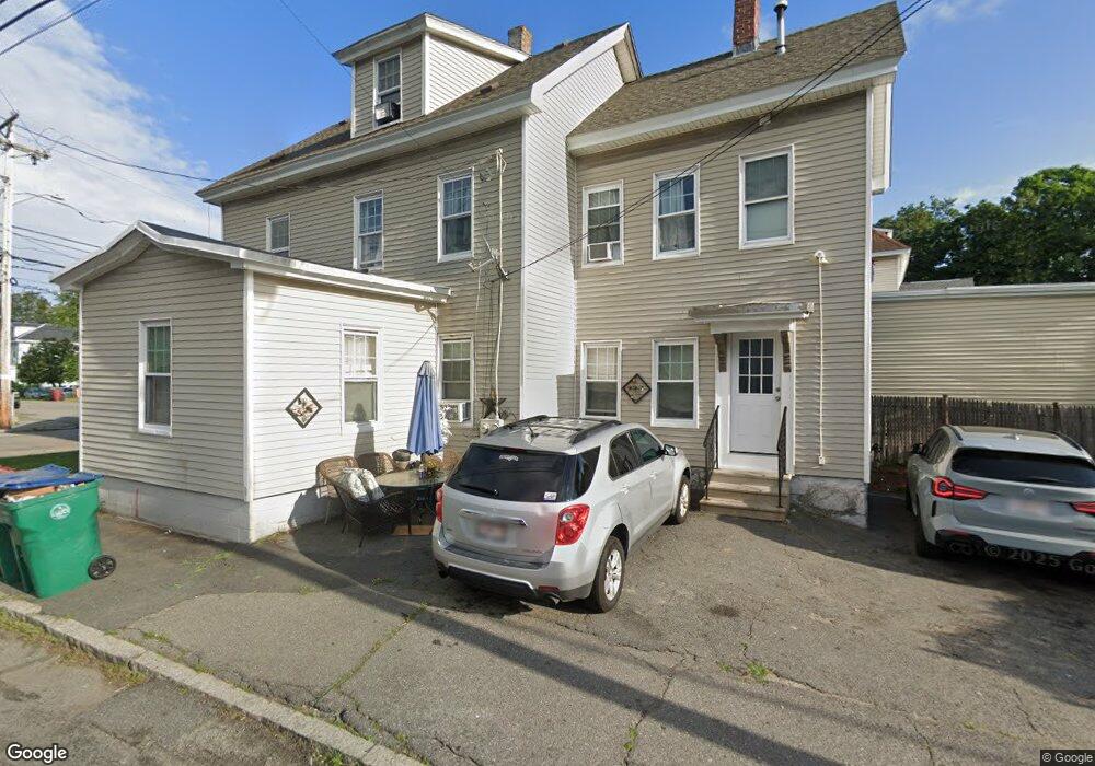
196 Wilder St Lowell, MA 01851
Highlands NeighborhoodEstimated Value: $553,961 - $634,000
5
Beds
2
Baths
2,138
Sq Ft
$283/Sq Ft
Est. Value
About This Home
This home is located at 196 Wilder St, Lowell, MA 01851 and is currently estimated at $605,240, approximately $283 per square foot. 196 Wilder St is a home located in Middlesex County with nearby schools including Charles W. Morey Elementary School, Abraham Lincoln Elementary School, and Joseph McAvinnue Elementary School.
Ownership History
Date
Name
Owned For
Owner Type
Purchase Details
Closed on
Jan 10, 2023
Sold by
Mcguire Judith A and Mcguire Michael C
Bought by
C Mcguire Int M
Current Estimated Value
Purchase Details
Closed on
Sep 28, 2000
Sold by
Aubin Brian and Siegel Terri
Bought by
Mcguire Judith A and Mcguire Michael C
Home Financials for this Owner
Home Financials are based on the most recent Mortgage that was taken out on this home.
Original Mortgage
$81,000
Interest Rate
7.94%
Mortgage Type
Purchase Money Mortgage
Purchase Details
Closed on
Nov 7, 1997
Sold by
Par Rt and Goldberg Robert
Bought by
Aubin Brian and Siegel Terri
Create a Home Valuation Report for This Property
The Home Valuation Report is an in-depth analysis detailing your home's value as well as a comparison with similar homes in the area
Home Values in the Area
Average Home Value in this Area
Purchase History
| Date | Buyer | Sale Price | Title Company |
|---|---|---|---|
| C Mcguire Int M | -- | None Available | |
| Int M C Mcguire | -- | None Available | |
| Mcguire Judith A | $90,000 | -- | |
| Mcguire Judith A | $90,000 | -- | |
| Aubin Brian | $70,000 | -- | |
| Aubin Brian | $70,000 | -- |
Source: Public Records
Mortgage History
| Date | Status | Borrower | Loan Amount |
|---|---|---|---|
| Previous Owner | Aubin Brian | $81,000 |
Source: Public Records
Tax History
| Year | Tax Paid | Tax Assessment Tax Assessment Total Assessment is a certain percentage of the fair market value that is determined by local assessors to be the total taxable value of land and additions on the property. | Land | Improvement |
|---|---|---|---|---|
| 2025 | $6,029 | $525,200 | $138,100 | $387,100 |
| 2024 | $5,631 | $472,800 | $130,300 | $342,500 |
| 2023 | $5,234 | $421,400 | $113,300 | $308,100 |
| 2022 | $4,846 | $381,900 | $103,000 | $278,900 |
| 2021 | $4,498 | $334,200 | $89,600 | $244,600 |
| 2020 | $4,147 | $310,400 | $84,700 | $225,700 |
| 2019 | $3,989 | $284,100 | $82,200 | $201,900 |
| 2018 | $3,733 | $259,400 | $78,300 | $181,100 |
| 2017 | $3,435 | $230,200 | $64,700 | $165,500 |
| 2016 | $3,443 | $227,100 | $61,600 | $165,500 |
| 2015 | $3,194 | $206,300 | $61,600 | $144,700 |
| 2013 | $2,867 | $191,000 | $72,000 | $119,000 |
Source: Public Records
Map
Nearby Homes
- 312 Wilder St
- 1280 Middlesex St
- 19 Lawton St
- 45 Harvard St Unit 5 3rd fl
- 1311 Middlesex St
- 3 Butman Place
- 490 School St Unit 2
- 11 Warwick St Unit 3
- 57 Wannalancit St Unit 6
- 206 Cross St
- 21 Kimball Ave
- 42 Branch St
- 113 School St Unit 12
- 295 Pawtucket Blvd Unit 7
- 79 School St Unit 3
- 694 Westford St
- 68 Smith St
- 67 S Loring St
- 307 Pawtucket Blvd Unit 24
- 15 Varney St
- 190 Wilder St Unit 1R
- 206 Wilder St
- 52 W Adams St
- 199 Wilder St Unit 2
- 199 Wilder St Unit 1
- 201 Wilder St Unit 201-4
- 180 Wilder St
- 48 W Adams St
- 210 Wilder St
- 189 Wilder St Unit 3
- 189 Wilder St Unit 2
- 189 Wilder St Unit 1
- 189 Wilder St
- 207 Wilder St
- 183 Wilder St
- 44 W Adams St
- 12 Marginal St
- 218 Wilder St
- 218 Wilder St Unit 14
- 218 Wilder St Unit 12
Your Personal Tour Guide
Ask me questions while you tour the home.